Near Stanton in Adams County, Mississippi — The American South (East South Central)
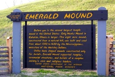
Emerald Mound
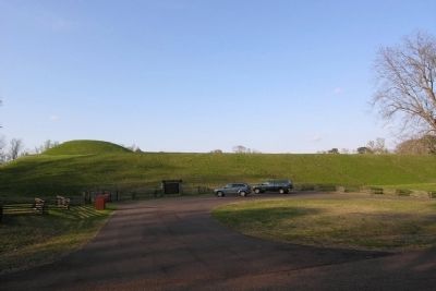
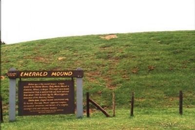
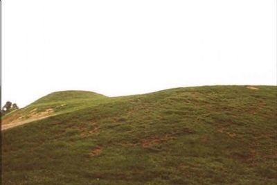
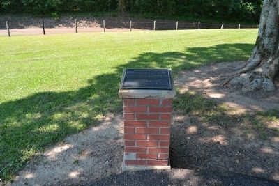
Before you is the second largest temple mound in the United States. Only Monks Mound in Cahokia, Illinois, is larger. This eight acre mound, constructed from a natural hill, was built and used from about 1300 to 1600 by the Mississippians, ancestors of the Natchez Indians.
Unlike dome shaped mounds constructed only for burials, Emerald Mound supported temples, ceremonial structures, and burials of a complex society's civic and religious leaders.
Erected by National Park Service.
Topics and series. This historical marker is listed in these topic lists: Anthropology & Archaeology • Cemeteries & Burial Sites • Churches & Religion • Native Americans. In addition, it is included in the Natchez Trace, and the National Historic Landmarks series lists. A significant historical year for this entry is 1300.
Location. 31° 38.125′ N, 91° 14.86′ W. Marker is near Stanton, Mississippi, in Adams County. Marker can be reached from Emerald Mound Road, one mile west of Natchez Trace Parkway, on the right when traveling west. Emerald Mound Road is accessed from the Natchez Trace Parkway at Mile Marker 10.3. Touch for map. Marker is in this post office area: Natchez MS 39120, United States of America. Touch for directions.
Other nearby markers. At least 8 other markers are within 2 miles of this marker, measured as the crow flies. A different marker also named Emerald Mound (here, next to this marker); Still Sacred (here, next to this marker); One Mound Among Many (here, next to this marker); A Well-Organized Society (a few steps from this marker); A Remarkable Feat (a few steps from this marker); a different marker also named Emerald Mound (within shouting distance of this marker); Old Trace (approx. 1˝ miles away); Territorial Lifeline (approx. 1˝ miles away). Touch for a list and map of all markers in Stanton.
Also see . . . Natchez Trace Parkway. Official National Park Service website. (Submitted on August 16, 2015, by Duane Hall of Abilene, Texas.)
Additional commentary.
1. National Historic Landmark
Emerald Mound was designated a National Historic Landmark in 1989.
— Submitted August 16, 2015, by Duane Hall of Abilene, Texas.
Credits. This page was last revised on December 16, 2020. It was originally submitted on December 19, 2012, by Duane Hall of Abilene, Texas. This page has been viewed 675 times since then and 18 times this year. Photos: 1, 2. submitted on December 19, 2012, by Duane Hall of Abilene, Texas. 3, 4. submitted on December 26, 2012, by Mike Stroud of Bluffton, South Carolina. 5. submitted on August 16, 2015, by Duane Hall of Abilene, Texas. • Craig Swain was the editor who published this page.
