Near Manassas in Prince William County, Virginia — The American South (Mid-Atlantic)
Carter Cemetery
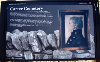
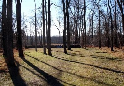
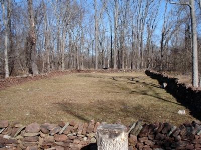
Following the destruction of Pittsylvania, the Carters built a modest new house near the site of the former mansion. Family members salvaged rock from the original foundation and nearby outbuildings to delineate the cemetery. In a letter to her cousin, Sarah Carter wrote in 1885: “Edwin [Carter] and Arthur Lee [Henry] have been hard at work hauling rock to enclose the dear old grave yard. It is done with a good strong wall around the gate and lock. I am so thankful we have lived to see it done.” The last interment in the cemetery occurred in 1903.
Erected by Manassas National Battlefield Park, National Park Service, U.S. Department of the Interior.
Topics. This historical marker is listed in these topic lists: Cemeteries & Burial Sites • War, US Civil. A significant historical year for this entry is 1885.
Location. 38° 49.726′ N, 77° 31.304′ W. Marker is near Manassas, Virginia, in Prince William County. Marker can be reached from Lee Highway (U.S. 29). Marker is located along the First Manassas Trail at Manassas National Battlefield Park. Closest parking is at Stone Bridge parking lot - MNBP Driving Tour Stop No. 12. Touch for map. Marker is in this post office area: Manassas VA 20109, United States of America. Touch for directions.
Other nearby markers. At least 8 other markers are within walking distance of this marker. Pittsylvania (about 300 feet away, measured in a direct line); George T. Stovall (approx. 0.4 miles away); 8th Georgia Infantry (approx. 0.4 miles away); 71st New York State Militia (approx. 0.4 miles away); 2nd New Hampshire Infantry (approx. 0.4 miles away); The Matthew Farm (approx. half a mile away); U.S. Infantry Battalion (approx. half a mile away); 4th Alabama Infantry (approx. half a mile away). Touch for a list and map of all markers in Manassas.
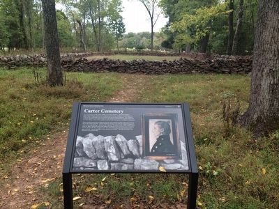
More about this marker. The right side of the marker displays a portrait of Dr. Isaac Henry. The background of the marker is a detail photo of the rock wall around the cemetery.
Credits. This page was last revised on June 16, 2016. It was originally submitted on January 25, 2013. This page has been viewed 1,269 times since then and 88 times this year. Photos: 1. submitted on January 25, 2013. 2. submitted on October 26, 2015, by Shane Oliver of Richmond, Virginia. 3, 4. submitted on January 25, 2013. • Craig Swain was the editor who published this page.


