Near Hanska in Brown County, Minnesota — The American Midwest (Upper Plains)
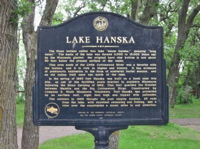
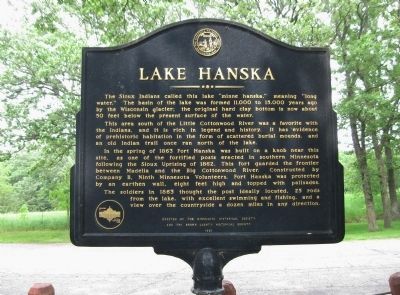
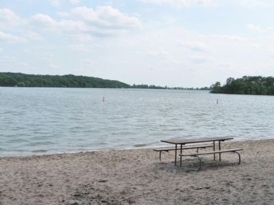
Lake Hanska
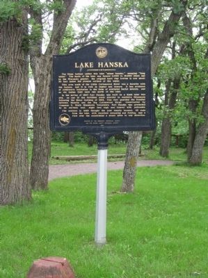
This area south of the Little Cottonwood River was a favorite with the Indians, and it is rich in legend and history. It has evidence of prehistoric habitation in the form of scattered burial mounds, and an old Indian trail once ran north of the lake.
In the spring of 1863 Fort Hanska was built on a knob near this site, as one of the fortified posts erected in southern Minnesota following the Sioux Uprising of 1862. This fort guarded the frontier between Madelia and the Big Cottonwood River. Constructed by Company B, Ninth Minnesota Volunteers, Fort Hanska was protected by an earthen wall, eight feet high and topped with palisades.
The soldiers in 1863 thought the post ideally located, 25 rods from the lake, with excellent swimming and fishing, and a view over the countryside a dozen miles in any direction.
Financed by Natural Resources Fund
and the Brown County Historical Society
1968
Erected 1968 by the Minnesota Historical Society and the Brown County Historical Society.
Topics and series. This historical marker is listed in these topic lists: Forts and Castles • Native Americans • Wars, US Indian • Waterways & Vessels. In addition, it is included in the Minnesota Historical Society series list. A significant historical year for this entry is 1863.
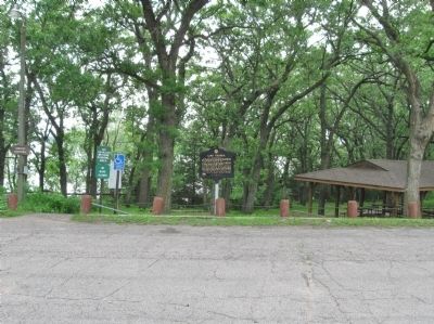
Location. 44° 7.359′ N, 94° 33.288′ W. Marker is near Hanska, Minnesota, in Brown County. Marker can be reached from County Road 11, 1.1 miles north of County Road 6, on the left when traveling north. Marker is at Lake Hanska County Park. Touch for map. Marker is at or near this postal address: 10977 County Road 11, Hanska MN 56041, United States of America. Touch for directions.
Other nearby markers. At least 8 other markers are within 5 miles of this marker, measured as the crow flies. Omsrud Thordson – Torgrimson Log Cabin (about 300 feet away, measured in a direct line); Lake Hanska Pioneer / Lake Hanska County Park (about 500 feet away); Norwegian Stabbur (approx. 3.4 miles away); World War Memorial (approx. 3.4 miles away); Hanska (approx. 3˝ miles away); Site of Capture of the Younger Brothers (approx. 4.3 miles away); The Godahl Store (approx. 4.3 miles away); John Armstrong (approx. 4˝ miles away). Touch for a list and map of all markers in Hanska.
Also see . . .
1. Lake Hanska Park Overview. "Lake Hanska
County Park has a variety of historic highlights including a log cabin built in the 1850’s, an old fort site, and interpretive signage." (Submitted on July 3, 2013.)
2. Fort Hill / Fort Hanska Site. "Also known as Fort Hill; Fort Hanska; Synsteby Mounds and Village Site." (Submitted on July 3, 2013.)
Additional keywords. Fort Slocum; Fort Hanska; Fort Hill
Credits. This page was last revised on June 16, 2016. It was originally submitted on July 3, 2013, by Keith L of Wisconsin Rapids, Wisconsin. This page has been viewed 1,347 times since then and 100 times this year. Photos: 1, 2, 3, 4, 5. submitted on July 3, 2013, by Keith L of Wisconsin Rapids, Wisconsin.
