Towson in Baltimore County, Maryland — The American Northeast (Mid-Atlantic)
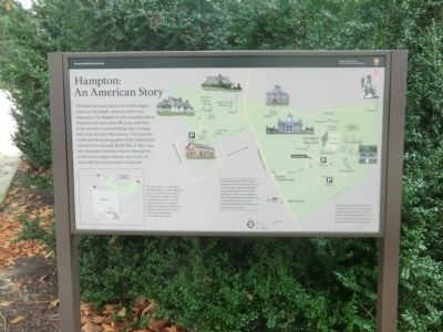
Hampton: An American Story
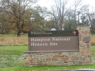
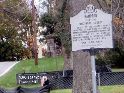
Hampton National Historic Site
— National Park Service, U.S. Department of the Interior —
[Captions:]
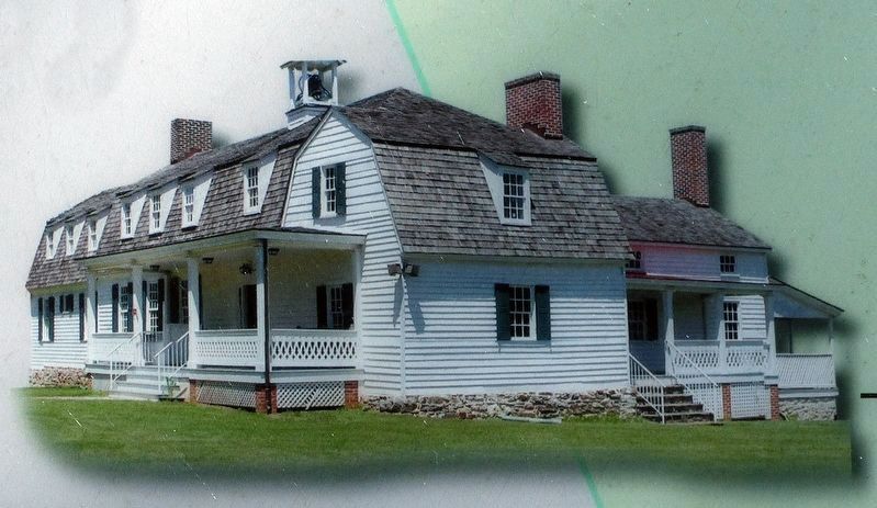
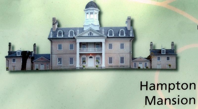
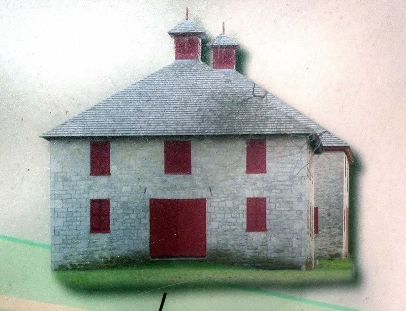
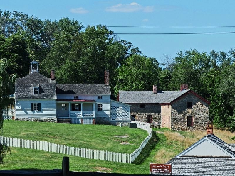
Hampton National Historic Site is comprised of two areas, the mansion with is surrounding outbuildings and grounds and the home farm. Explore the park at your own pace. There are parking lots at both areas. You may leave your car at one location and walk the entire site, or drive from area to area.
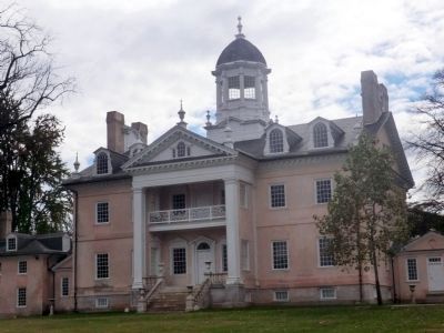
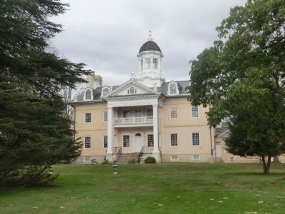
As their fortunes declined after the Civil War and into the 20th century, the Ridgelys sold nearly all of their empire. The National Park Service now owns and preserves 63 acres of this important core of their estate.
This map represents the Ridgelys’ vast holdings in circa 1829. Hampton grew from 1,500 acres, purchased by Col. Charles Ridgely in 1745, to 25,000 acres spread across the region by 1829. It was originally and industrial plantation that served Ridgely’s ironworks but evolved into and agricultural estate by the mid-19th century.
Erected by National Park Service, U.S. Department of the Interior.
Topics. This historical marker is listed in these topic lists: Agriculture • Architecture • Colonial Era • Settlements & Settlers. A significant historical year for this entry is 1829.
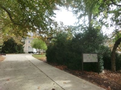
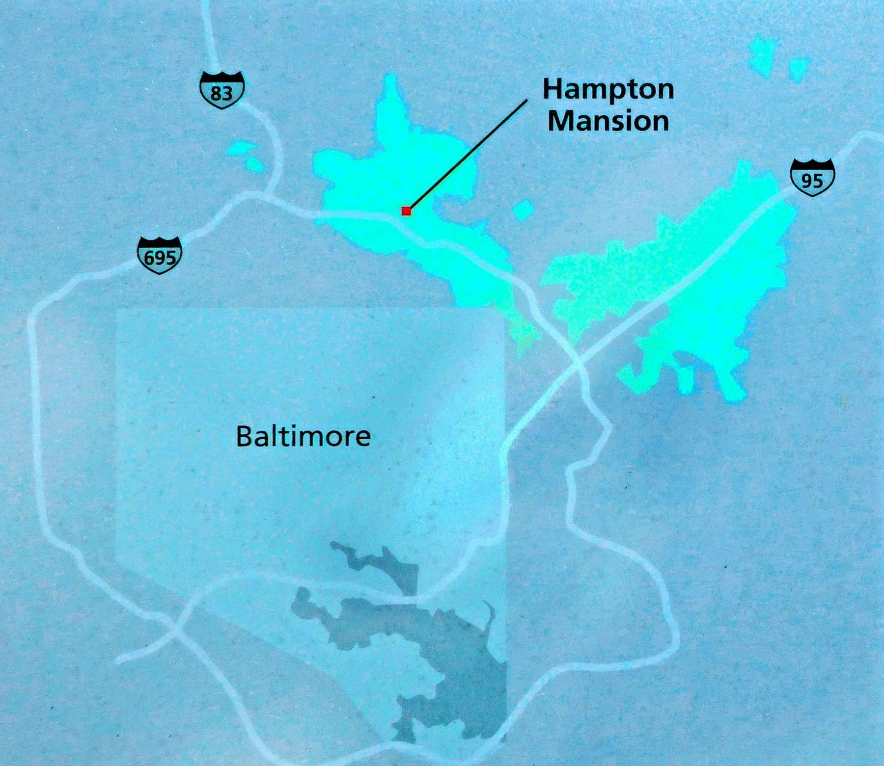
Location. 39° 25.014′ N, 76° 35.298′ W. Marker is in Towson, Maryland, in Baltimore County. Marker can be reached from Hampton Lane, 0.2 miles east of Hampton Garth, on the right when traveling east. Touch for map. Marker is at or near this postal address: 535 Hampton Lane, Towson MD 21286, United States of America. Touch for directions.
Other nearby markers. At least 8 other markers are within walking distance of this marker. Ridgely's Pride (a few steps from this marker); Ice Cream in July (within shouting distance of this marker); Oranges in January (about 300 feet away, measured in a direct line); Captain Charles Ridgely (about 300 feet away); A Romance with Nature: The Falling Garden (about 400 feet away); Behind the Big House (about 500 feet away); Greenhouse #2 (about 500 feet away); Wartime Support (about 600 feet away). Touch for a list and map of all markers in Towson.
Photographed By Allen C. Browne, July 9, 2017
7. Ridgely Holdings, c. 1829
This map represents the Ridgelys’ vast holdings in circa 1829. Hampton grew from 1,500 acres, purchased by Col. Charles Ridgely in 1745, to 25,000 acres spread across the region by 1829. It was originally and industrial plantation that served Ridgely’s ironworks but evolved into an agricultural estate by the mid-19th century.Close-up of map on marker
Credits. This page was last revised on January 2, 2020. It was originally submitted on November 2, 2014, by Don Morfe of Baltimore, Maryland. This page has been viewed 689 times since then and 44 times this year. Photos: 1, 2, 3, 4, 5, 6. submitted on November 2, 2014, by Don Morfe of Baltimore, Maryland. 7, 8, 9. submitted on July 9, 2017, by Allen C. Browne of Silver Spring, Maryland. 10, 11, 12. submitted on July 13, 2017, by Allen C. Browne of Silver Spring, Maryland. • Bill Pfingsten was the editor who published this page.
