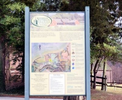
Jefferson Patterson Park & Museum
State Museum of Archaeology
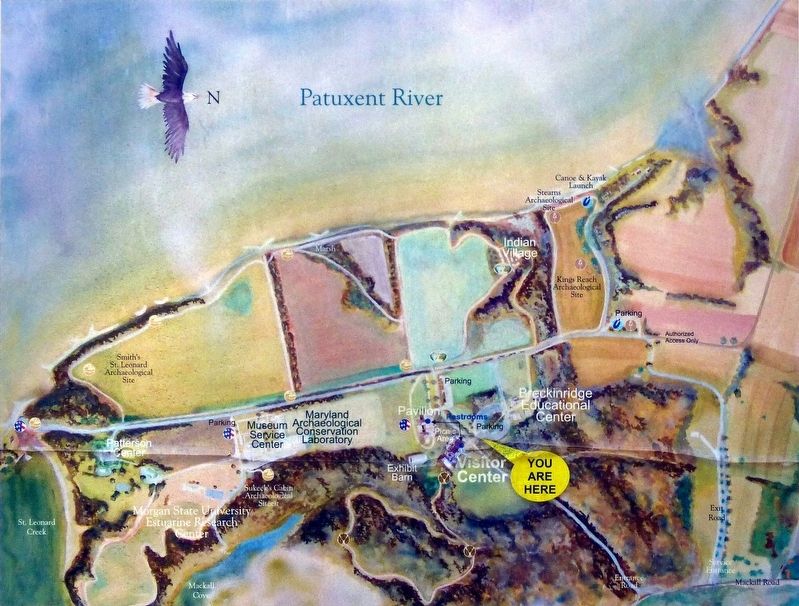
You can investigate the thousands of years of human history by touring archaeological sites and trails, acres of working farmland, restored farm buildings and museum exhibits, and by attending educational programs. Whether you are a first time visitor or have a great deal of experience in the outdoors, you are sure to find something of interest at JPPM.
Topics. This historical marker is listed in these topic lists: Anthropology & Archaeology • Colonial Era • Native Americans • Settlements & Settlers.
Location. 38° 23.926′ N, 76° 30.474′ W. Marker is in St. Leonard, Maryland, in Calvert County. Marker is on Jefferson Patterson Park Road. Touch for map. Marker is in this post office area: Saint Leonard MD 20685, United States of America. Touch for directions.
Other nearby markers. At least 8 other markers are within walking distance of this marker. A different marker also named Jefferson Patterson Park & Museum (within shouting distance of this marker); The War of 1812 Living History (within shouting distance of this marker); Naval Warfare (within shouting distance of this marker); Weapons of War
Credits. This page was last revised on July 18, 2016. It was originally submitted on February 19, 2015, by Don Morfe of Baltimore, Maryland. This page has been viewed 446 times since then and 13 times this year. Photos: 1. submitted on February 19, 2015, by Don Morfe of Baltimore, Maryland. 2. submitted on July 16, 2016, by Allen C. Browne of Silver Spring, Maryland. • Bill Pfingsten was the editor who published this page.

