Near Newcastle in Young County, Texas — The American South (West South Central)
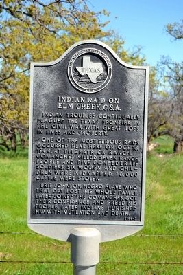
Indian Raid on Elm Creek, C.S.A.
Indian troubles continually plagued the Texas frontier in the Civil War, with great loss in lives and property.
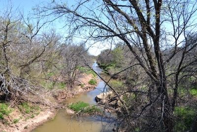
One of the most serious raids occurred near here on Oct. 13, 1864, at Fitzpatrick Ranch. Comanches killed seven ranch people and five Confederate soldiers. Six women and children were kidnapped, 10,000 cattle were stolen.
Brit Johnson, Negro slave who that day lost his whole family, later “joined” the Comanches, got their confidence, and freed his people. Later Indians punished him with mutilation and death.
Erected 1964 by State Historical Survey Committee. (Marker Number 2636.)
Topics. This historical marker is listed in these topic lists: Native Americans • War, US Civil • Wars, US Indian. A significant historical date for this entry is October 13, 1864.
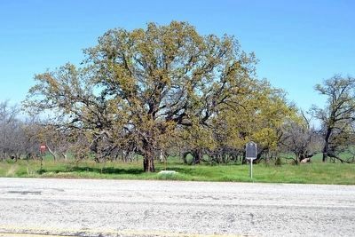
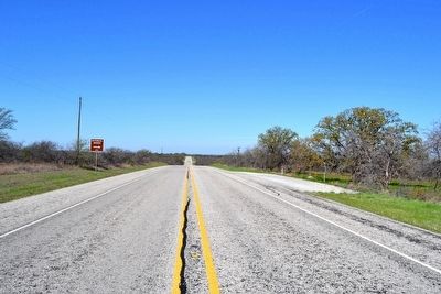
Location. 33° 10.969′ N, 98° 51.418′ W. Marker is near Newcastle, Texas, in Young County. Marker is on U.S. 380, 0.4 miles east of Proffitt Road, on the right when traveling west. Touch for map. Marker is in this post office area: Newcastle TX 76372, United States of America. Touch for directions.
Other nearby markers. At least 8 other markers are within 7 miles of this marker, measured as the crow flies. In Memory of Proffitt, Carlton, and Johnson (here, next to this marker); Proffitt Cemetery Veterans (approx. half a mile away); Common Grave (approx. half a mile away); Proffitt Cemetery (approx. half a mile away); Joseph Alfred Woolfolk (approx. 5.2 miles away); Two Miles Southwest to Fort Belknap (approx. 6.7 miles away); Military Road (Fort Belknap - Fort Phantom Hill) (approx. 7 miles away); Tonkawa Scouts, C.S.A. (approx. 7 miles away). Touch for a list and map of all markers in Newcastle.
Also see . . . Elm Creek Raid. From the Texas State Historical Association’s “Handbook of Texas Online”. (Submitted on March 29, 2016.)
Credits. This page was last revised on November 29, 2020. It was originally submitted on March 29, 2016, by Duane Hall of Abilene, Texas. This page has been viewed 1,315 times since then and 97 times this year. Photos: 1, 2, 3, 4. submitted on March 29, 2016, by Duane Hall of Abilene, Texas.


