Ticonderoga in Essex County, New York — The American Northeast (Mid-Atlantic)
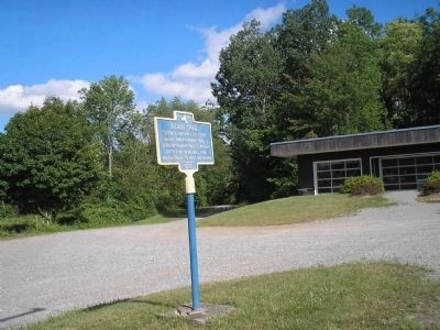
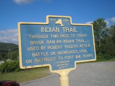
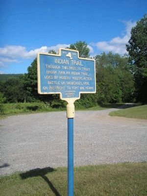
Indian Trail
Erected by Ticonderoga Historical Society.
Topics. This historical marker is listed in these topic lists: Colonial Era • Military • Native Americans • War, French and Indian. A significant historical year for this entry is 1758.
Location. 43° 48.974′ N, 73° 28.696′ W. Marker is in Ticonderoga, New York, in Essex County. Marker is on U.S. 9, on the right when traveling north. Touch for map. Marker is in this post office area: Ticonderoga NY 12883, United States of America. Touch for directions.
Other nearby markers. At least 8 other markers are within 3 miles of this marker, measured as the crow flies. Cliff Seat (approx. one mile away); a different marker also named Indian Trail (approx. 1.1 miles away); Rogers’ Rangers (approx. 1.6 miles away); Carillon Outpost (approx. 1.9 miles away); Abercrombie's Landing (approx. 2 miles away); Gen. Henry Knox Trail (approx. 2.7 miles away); LaChute River Trail (approx. 2.8 miles away); Historic Valley (approx. 3 miles away). Touch for a list and map of all markers in Ticonderoga.
Also see . . .
1. Frigid Fury: The Battle on Snowshoes, March 1758. New York State Military Museum and Veterans Research Center. (Submitted on July 25, 2008, by Bill Coughlin of Woodland Park, New Jersey.)
2. Wars and Battles, Robert Rogers 1731-1795. (Submitted on July 25, 2008, by Bill Coughlin of Woodland Park, New Jersey.)

Photographed By Bill Coughlin, July 10, 2008
3. Indian Trail Marker
The rangers' unconventional nature was demonstrated in the "battle on snowshoes" of 1758, when Rogers’ forces struck an unsuspecting enemy near Lake George by conveying themselves across snow and ice on snowshoes, skates and sleds. Most armies of the day simply closed down operations during the cold weather months and devoted their energies to planning the next spring's offensive.
Credits. This page was last revised on March 3, 2022. It was originally submitted on July 25, 2008, by Bill Coughlin of Woodland Park, New Jersey. This page has been viewed 2,288 times since then and 69 times this year. Photos: 1, 2, 3, 4. submitted on July 25, 2008, by Bill Coughlin of Woodland Park, New Jersey.


