Quiriguá in Los Amates, Izabal, Guatemala — Central America
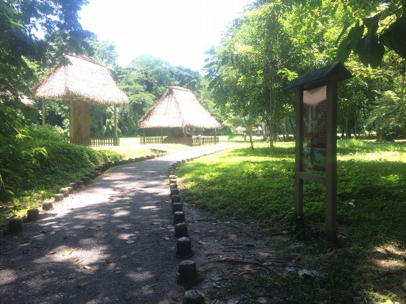
The Great Plaza at Quirigua
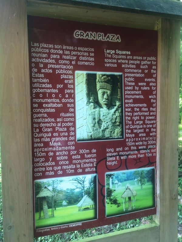
Gran Plaza
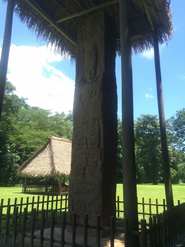
Las plazas son áreas o espacios públicos donde las personas se reunían para realizar distintas actividades, como el comercio o la presentación de actos públicos. Estas plazas también eran utilizadas por los gobernantes para colocar monumentos, donde se exaltaban sus conquistas de guerra, rituales realizados, así como su derecho al poder. Quiriguá es una de las más grandes del área Maya, con aproximadamente 150m de ancho por 300m de largo y sobre esta fueron colocados once monumentos entre los que resalta la Estela E con más de 10m de altura.
Large Squares
The Squares are areas or public spaces where people gather for various activities such as commerce or the presentation of public events. These were also used by rulers for placement of monuments, which exalt the achievements of war, the rites that they performed and the right to power. The Large Square of Quirigua is one of the largest in the Maya area with approximately 150 m wide by 300 m long and on this were place eleven monuments, stands out Stela E with more than 10 m in height.
Topics. This historical marker is listed in these topic lists: Anthropology & Archaeology • Man-Made Features • Native Americans.
Location. 15° 16.365′ N, 89° 2.456′ W. Marker is in Quiriguá, Izabal, in Los Amates. The marker is to the right (west) of the path on the way into the Archaeological Park of Quirigua. Touch for map. Marker is in this post office area: Quiriguá, Izabal 18005, Guatemala. Touch for directions.
Other nearby markers. At least 6 other markers are within walking distance of this marker. Quirigua within the Context of the Mayan Cities (within shouting distance of this marker); The Stelas of Quiriguá (within shouting distance of this marker); Quirigua: History of the City, its Environment and Discovery (about 150 meters away, measured in a direct line); A Contemporary Altar at Quiriguá (about 150 meters away); The Ball Court Plaza (approx. 0.4 kilometers away); The Acropolis at Quiriguá (approx. 0.4 kilometers away).
Credits. This page was last revised on March 2, 2018. It was originally submitted on September 20, 2016, by J. Makali Bruton of Accra, Ghana. This page has been viewed 509 times since then and 64 times this year. Photos: 1, 2, 3. submitted on September 20, 2016, by J. Makali Bruton of Accra, Ghana.


