Quiriguá in Los Amates, Izabal, Guatemala — Central America
Quirigua within the Context of the Mayan Cities
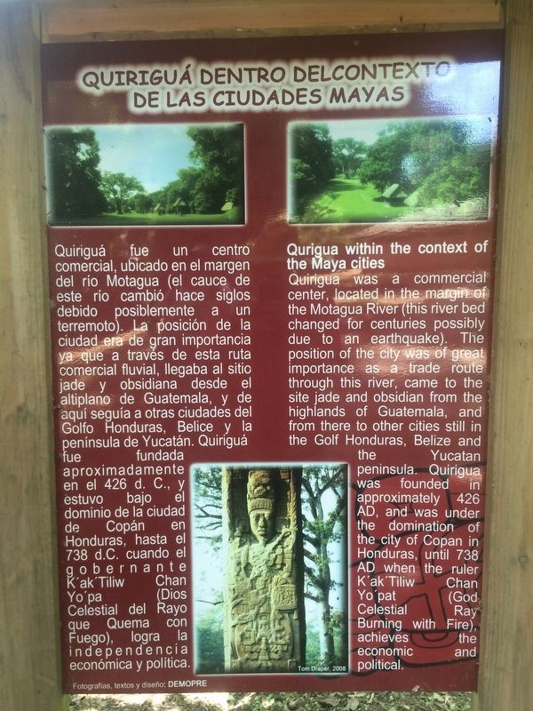
Quiriguá dentro del Contexto de las Ciudades Mayas
Inscription.
Quriguá fue un centro comercial, ubicado en el margen del río Motagua (el cauce de este río cambió hace siglos debido posiblemente a un terremoto). La posición de la ciudad era de gran importancia ya que a través de esta ruta comercial fluvial, llegaba al sitio jade y obsidiana desdge el altiplano de Guatemala, y de aquí seguía a otras ciudades del Golfo Honduras, Belice y la península de Yucatán. Quiriguá fue fundada aproximadamente en el 426 d.C., y estuvo bajo el dominio de la ciudad de Copán en Honduras, hasta el 738 d.C. cuando el gobernante K´al´Tiliw Chan Yo´pa (Dios Celestial del Rayo que Quema con Fuego), logra la independencia económica y política.
Quirigua within the context of the Maya cities
Quirigua was a commercial center, located in the margin of the Motagua River (this river bed changed for centuries possibly due to an earthquake). The position of the city was of great importance as a trade route through this river, came to the site jade and obsidian from the highlands of Guatemala, and from there to other cities still in the Golf Honduras, Belize and the Yucatan peninsula. Quirigua was founded in approximately 426 AD, and was under the domination of the city of Copan in Honduras, until 738 AD when the ruler K'ak'Tiliw Chan Yo'pat (God Celestial Ray Burning with Fire), achieves the economic and political.
Topics. This historical marker is listed in these topic lists: Anthropology & Archaeology • Man-Made Features • Native Americans.
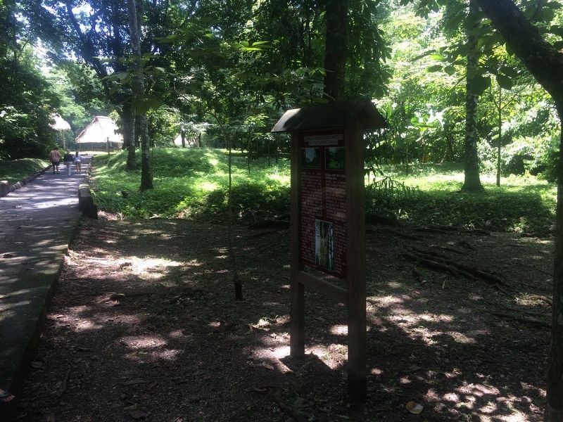
Location. 15° 16.392′ N, 89° 2.473′ W. Marker is in Quiriguá, Izabal, in Los Amates. The marker is just to the west along the path into the Qurigua Archaeological Park. It is the first marker after the entrance to the park. Touch for map. Marker is in this post office area: Quiriguá, Izabal 18005, Guatemala. Touch for directions.
Other nearby markers. At least 6 other markers are within walking distance of this marker. The Great Plaza at Quirigua (within shouting distance of this marker); Quirigua: History of the City, its Environment and Discovery (about 90 meters away, measured in a direct line); The Stelas of Quiriguá (about 150 meters away); A Contemporary Altar at Quiriguá (about 210 meters away); The Ball Court Plaza (approx. 0.4 kilometers away); The Acropolis at Quiriguá (approx. half a kilometer away).
Credits. This page was last revised on March 2, 2018. It was originally submitted on September 20, 2016, by J. Makali Bruton of Accra, Ghana. This page has been viewed 278 times since then and 3 times this year. Photos: 1, 2, 3. submitted on September 20, 2016, by J. Makali Bruton of Accra, Ghana.


