Lindside in Monroe County, West Virginia — The American South (Appalachia)
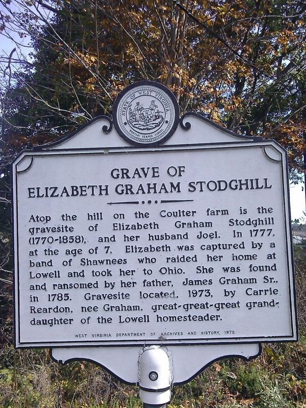
Grave of Elizabeth Graham Stodghill
Erected 1975 by West Virginia Department of Archives & History.
Topics and series. This historical marker is listed in these topic lists: Cemeteries & Burial Sites • Native Americans • Women. In addition, it is included in the West Virginia Archives and History series list. A significant historical year for this entry is 1777.
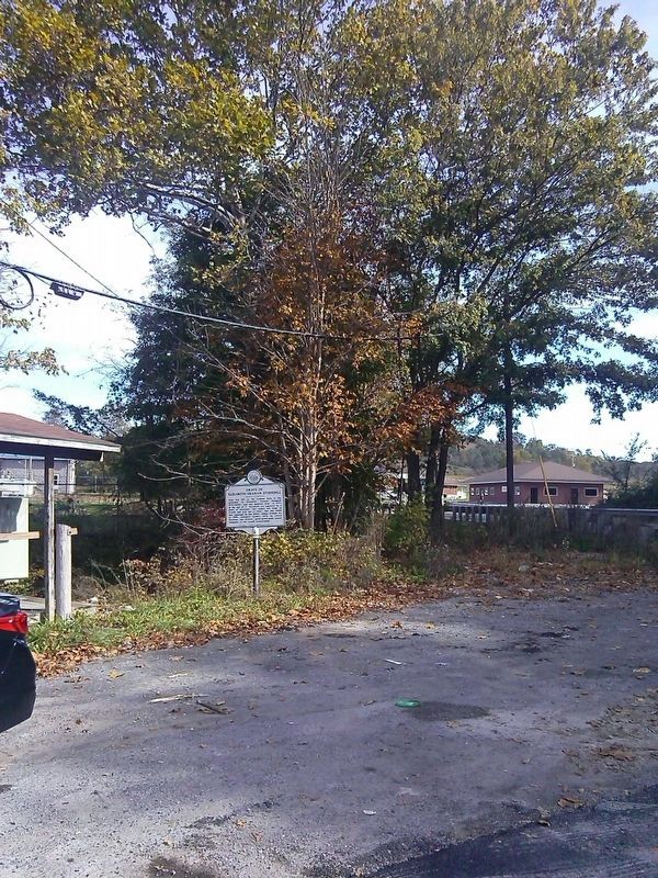
Location. 37° 28.635′ N, 80° 39.518′ W. Marker is in Lindside, West Virginia, in Monroe County. Marker is at the intersection of Senecia Trail (U.S. 219) and County Route 25 on Senecia Trail. Touch for map. Marker is in this post office area: Lindside WV 24951, United States of America. Touch for directions.
Other nearby markers. At least 8 other markers are within 8 miles of this marker, measured as the crow flies. Dr. Henry Lake Dickason (approx. 1.7 miles away); Mann-Miller / Springfield (approx. 3.7 miles away); Home of Isaac Estill / Block House on Indian Creek (approx. 3.9 miles away); Saltpeter Caves (approx. 4.8 miles away); Cook's Fort (approx. 5.1 miles away); Woods’ Fort (approx. 6.1 miles away); Red Sulphur Springs (approx. 6.4 miles away); Salt Sulphur (approx. 8.1 miles away).
Credits. This page was last revised on April 23, 2018. It was originally submitted on October 18, 2016, by Roger Miller of Pulaski, Virginia. This page has been viewed 495 times since then and 22 times this year. Photos: 1, 2. submitted on October 18, 2016, by Roger Miller of Pulaski, Virginia. • Bill Pfingsten was the editor who published this page.

