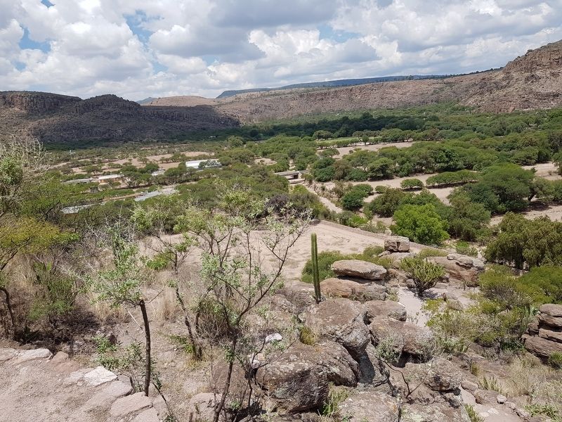
Near Arroyo Seco in Victoria, Guanajuato, Mexico — The Central Highlands (North America)
A Long-Term Painted History
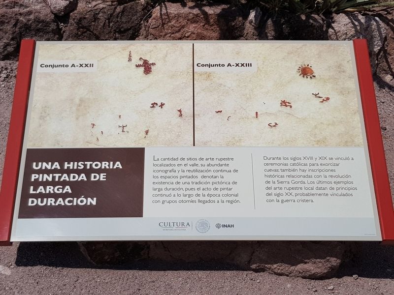
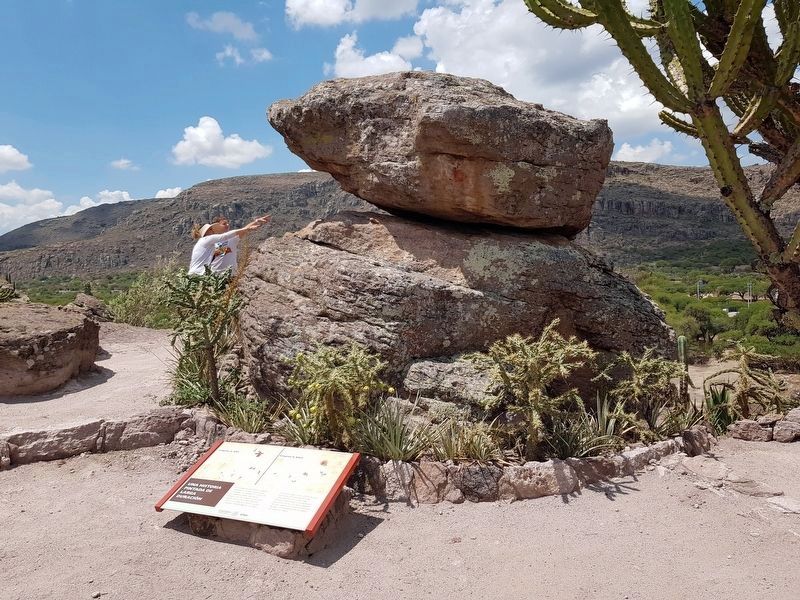
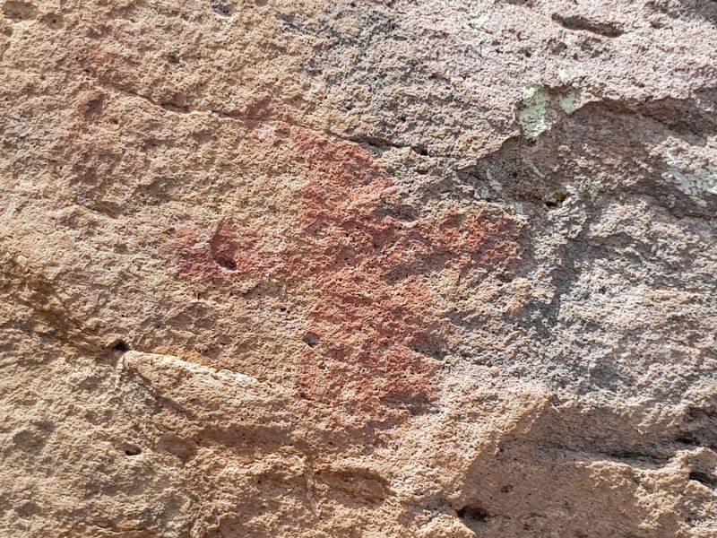
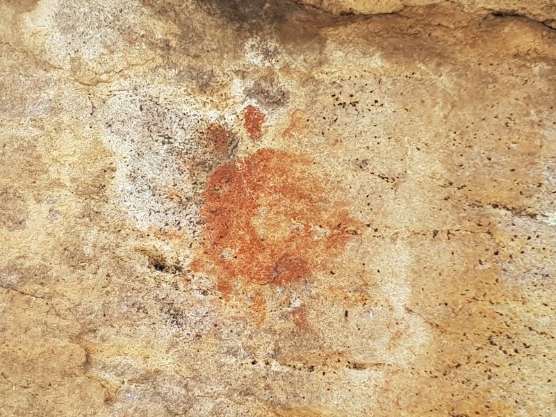
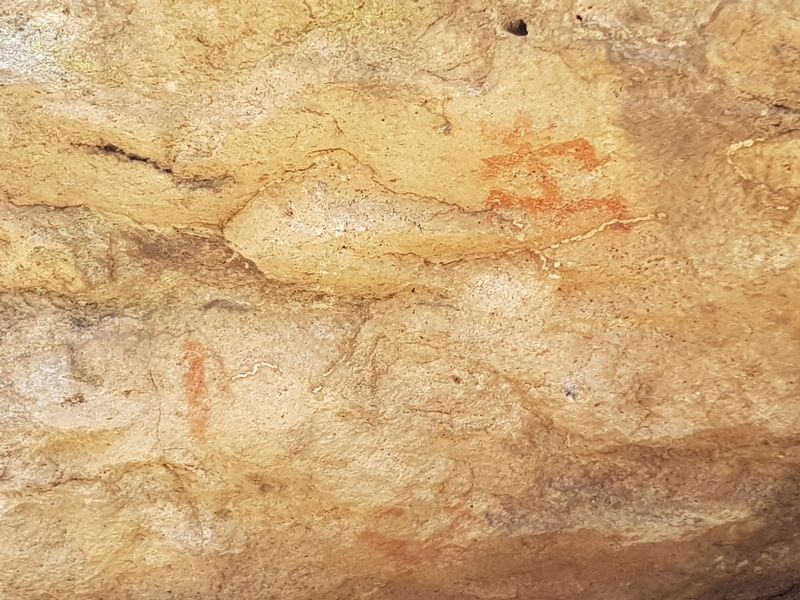
La cantidad de sitios de arte rupestre localizados en el valle, su abundante iconografía y la reutilización continua de los espacios pintados denotan la existencia de una tradición pictórica de larga duración, pues el acto de pintar continuó a lo largo de la época colonial con grupos otomíes llegados a la región.
Durante los siglos XVIll y XIX se vinculó a ceremonias católicas para exorcizar cuevas, también hay inscripciones históricas relacionadas con la revolución de la Sierra Gorda. Los últimos ejemplos del arte rupestre local datan de principios del siglo XX, probablemente vinculados con la guerra cristera.
Pie de dibujos: Conjunto A-XXII
Conjunto A-XXIII
A Long-Term Painted History
The amount of rock art sites located in the valley, its abundant iconography and the continuous reuse of painted spaces denote the existence of a long-lasting pictorial tradition, as the act of painting continued throughout the colonial era with Otomi groups arriving in the region.
During the sixteenth and nineteenth centuries it was linked to Catholic ceremonies to exorcise caves and there are also historical inscriptions related to the Mexican Revolution from the Sierra Gorda. The latest examples of local rock art date from the early twentieth century, probably linked to the Cristero War.
Captions: Set A-XXII
Set A-XXIII
Erected by Instituto Nacional de Antropología e Historia (INAH).
Topics. This historical marker is listed in these topic lists: Arts, Letters, Music • Colonial Era • Man-Made Features • Native Americans.
Location. 21° 11.461′ N, 100° 12.199′ W. Marker is near Arroyo Seco, Guanajuato, in Victoria. Marker can be reached from Calle Nueva a Victoria just north of Calle Principal de Arroyo Seco, on the right when traveling north. The marker is along the walking tour at the Arroyo Seco Archaeological Site. Touch for map. Marker is in this post office area: Arroyo Seco GTO 37920, Mexico. Touch for directions.
Other nearby markers. At least 8 other markers are within walking distance of this marker. The Social Function of Rock Art (a few steps from this marker); The Memory of the Landscape (a few steps from this marker); The Guardians of the Valley (within shouting distance of this marker); Rock Art in the 16th Century (within shouting distance of this marker); The Arroyo Seco Archaeological Site (about 180 meters away, measured in a direct line); The Imagination of Rock Art (about 180 meters away); A Fragile Testimony (about 240 meters away); The human figure (approx. 0.3 kilometers away). Touch for a list and map of all markers in Arroyo Seco.
Credits. This page was last revised on August 22, 2019. It was originally submitted on August 22, 2019, by J. Makali Bruton of Accra, Ghana. This page has been viewed 101 times since then and 11 times this year. Photos: 1, 2, 3, 4, 5, 6. submitted on August 22, 2019, by J. Makali Bruton of Accra, Ghana.
