Marker Logo HMdb.org THE HISTORICAL
MARKER DATABASE
“Bite-Size Bits of Local, National, and Global History”
Big Bend National Park in Brewster County, Texas — The American South (West South Central)
 

Comanche Trail


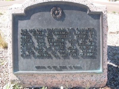
Comanche Trail Marker image. Click for full size.
Photographed By Richard Denney, March 22, 2012
1. Comanche Trail Marker
Inscription. You are now traveling the Comanche Trail blazed by Comanche Indians, en route from the western plains to Mexico, and traveled later by emigrants and soldiers. It extended south from the Horse Head Crossing of the Pecos by Comanche Springs (Fort Stockton) to the Rio Grande.
 
Erected 1936 by State of Texas. (Marker Number 994.)
 
Topics and series. This historical marker is listed in these topic lists: Anthropology & ArchaeologyNative AmericansNatural Features. In addition, it is included in the Comanche Trail into Mexico, and the Texas 1936 Centennial Markers and Monuments series lists.
 
Location. 29° 39.605′ N, 103° 10.409′ W. Marker is in Big Bend National Park, Texas, in Brewster County. Marker is on U.S. 385. Marker is in parking lot to entrance to Persimmon Gap ranger station. Touch for map. Marker is in this post office area: Marathon TX 79842, United States of America. Touch for directions.
 
Other nearby markers. At least 2 other markers are within 6 miles of this marker, measured as the crow flies. Double Mills (approx. 5.8 miles away); The U.S. Army Camel Experiment (approx. 5.8 miles away).
 
Also see . . .  Comanche Trail, Big Bend, National Park Service web page
Paid Advertisement
Click on the ad for more information.
Please report objectionable advertising to the Editor.
Click or scan to see
this page online
. (Submitted on March 27, 2012, by Richard Denney of Austin, Texas.)
 
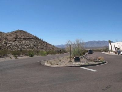
Comanche Trail Marker, View in context image. Click for full size.
Photographed By Richard Denney, March 22, 2012
2. Comanche Trail Marker, View in context
Marker is located in the parking lot of the Persimmon Gap ranger station, entrance to Big Bend National Park. Photo facing south.
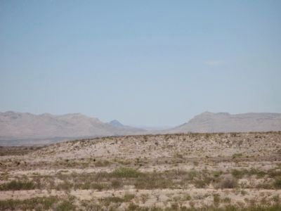
View of Persimmon Gap from inside the park image. Click for full size.
Photographed By Richard Denney, March 22, 2012
3. View of Persimmon Gap from inside the park
Photo facing north.
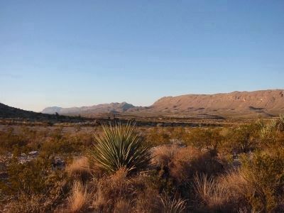
Another view of Persimmon Gap image. Click for full size.
Photographed By Richard Denney, November 23, 2006
4. Another view of Persimmon Gap
The Comanche Trail, or Comanche War Trail, passed through Persimmon Gap en-route to Mexico. This view of Persimmon Gap is from near Nine Point Draw campsite, inside Big Bend Nat'l Park.
 
 
Credits. This page was last revised on February 26, 2018. It was originally submitted on March 27, 2012, by Richard Denney of Austin, Texas. This page has been viewed 1,339 times since then and 41 times this year. Photos:   1, 2, 3, 4. submitted on March 27, 2012, by Richard Denney of Austin, Texas. • Craig Swain was the editor who published this page.
Share this page.  
Share on Tumblr
m=53931

CeraNet Cloud Computing sponsors the Historical Marker Database.
This website earns income from purchases you make after using our links to Amazon.com. We appreciate your support.
Paid Advertisement
May. 7, 2024