Chacahoula in Terrebonne Parish, Louisiana — The American South (West South Central)
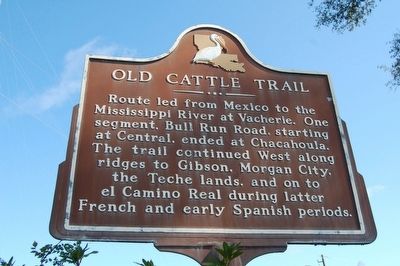
Old Cattle Trail
Route led from Mexico to the Mississippi River at Vacherie. One segment, Bull Run Road, starting at Central, ended at Chacahoula. The trail continued West along ridges to Gibson, Morgan City, the Teche lands, and on to el Camino Real during latter French and early Spanish periods.
Topics. This historical marker is listed in these topic lists: Agriculture • Colonial Era • Roads & Vehicles • Settlements & Settlers.
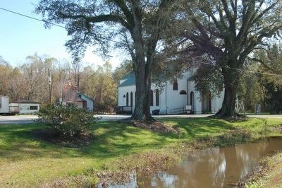
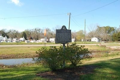
Location. 29° 42.3′ N, 90° 54.546′ W. Marker is in Chacahoula, Louisiana, in Terrebonne Parish. Marker is on Bull Run Road, 0.1 miles south of Louisiana Highway 20, on the left when traveling south. Touch for map. Marker is at or near this postal address: 2128 Bull Run Rd, Schriever LA 70395, United States of America. Touch for directions.
Other nearby markers. At least 8 other markers are within 8 miles of this marker, measured as the crow flies. Gibson Methodist Episcopal Church (approx. 4.9 miles away); Sugar Row Plantations (approx. 6.6 miles away); Leighton (approx. 7.6 miles away); Mysteries of the Wetlands (approx. 7.6 miles away); Isles Dernieres (approx. 7.6 miles away); Tomb Of Henry Schuyler Thibodaux (approx. 7.6 miles away); C.M. Washington High School (approx. 7.7 miles away); Ridgefield Plantation Home (approx. 7.8 miles away).
Credits. This page was last revised on August 22, 2023. It was originally submitted on January 9, 2016. This page has been viewed 658 times since then and 42 times this year. Photos: 1, 2, 3. submitted on January 9, 2016. • Bernard Fisher was the editor who published this page.


