Spanish Town in Virgin Gorda, British Virgin Islands, British Overseas Territories
Plantation Era Burial Ground
Photographed by James Hulse, February 7, 2025
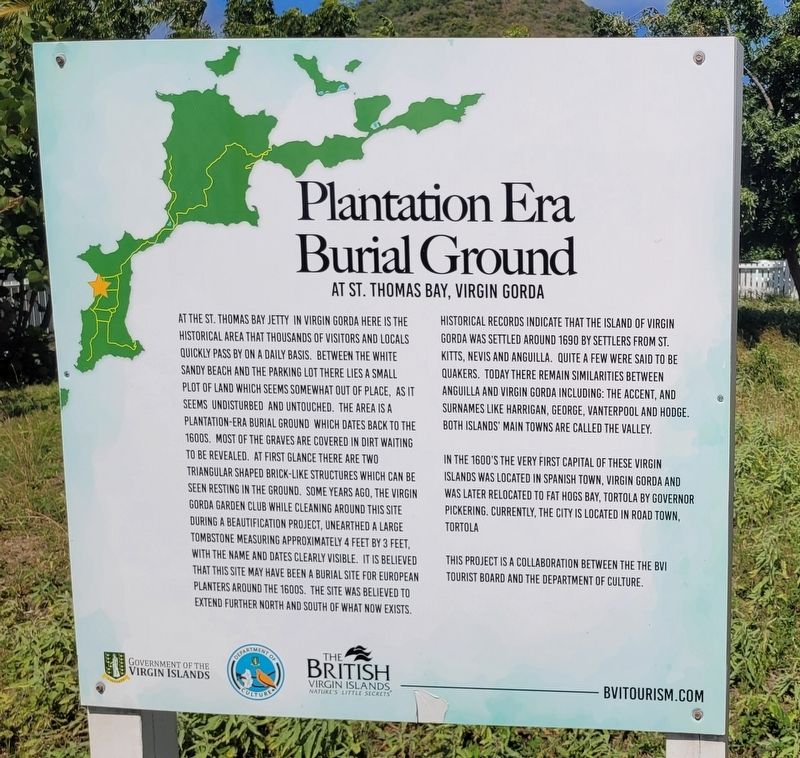
1. Plantation Era Burial Ground Marker
Historical records indicate that the island of Virgin Gorda was settled around 1690 by settlers from St. Kitts, Nevis and Anguilla. Quite a few were said to be Quakers. Today there remain similarities
this page online
In the 1600's the very first capital of these Virgin Islands was located in Spanish Town, Virgin Gorda and was later relocated to Fat Hogs Bay, Tortola by Governor Pickering. Currently, the city is located in Road Town, Tortola.
This project is a collaboration between the the BVI Tourist Board and the Department of Culture.
Erected by BVI Tourist Board and the Department of Culture.
Topics. This historical marker is listed in these topic lists: Cemeteries & Burial Sites • Colonial Era. A significant historical year for this entry is 1690.
Location. 18° 27.155′ N, 64° 26.199′ W. Marker is in Spanish Town, British Virgin Islands, in Virgin Gorda. It is at the intersection of Little Road and Virgin Gorda Ferry Docks, on the right when traveling south on Little Road. The marker is located along the road at the docks. Touch for map. Touch for directions.

Regionally, it is one of the Lesser Antilles on the Caribbean Sea, on in the Atlantic Ocean, in North America,
Photographed by James Hulse, February 7, 2025
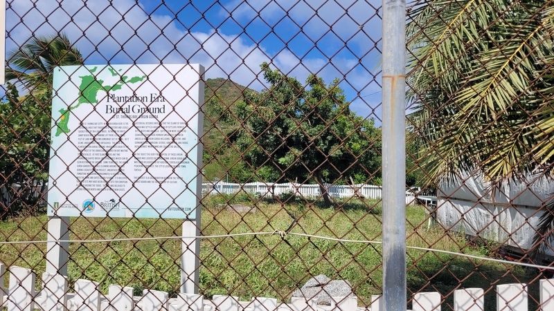
2. The Burial Ground and Marker
Photographed by James Hulse, February 7, 2025
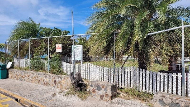
3. The view of the Plantation Era Burial Ground and Marker from the street
Credits. This page was last revised on February 15, 2025. It was originally submitted on February 14, 2025, by James Hulse of Medina, Texas. This page has been viewed 386 times since then and 91 times this year. Photos: 1, 2, 3. submitted on February 14, 2025, by James Hulse of Medina, Texas.
