"Battlefield Cross"
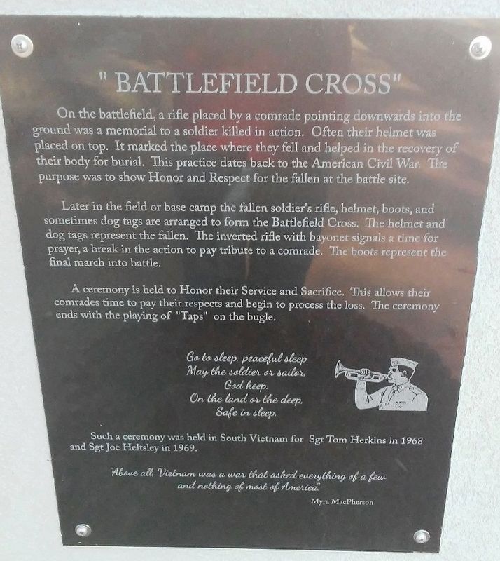
On the battlefield, a rifle placed by a comrade pointing downwards into the ground was a memorial to a soldier killed in action. Often their helmet was placed on top. It marked the place where they fell and helped in the recovery of their body for burial. This practice dates back to the American Civil War. The purpose was to show Honor and Respect for the fallen at the battle site.
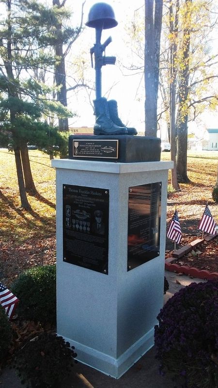
Later in the field or base camp the fallen soldier's rifle, helmet, boots, and sometimes dog tags are arranged to form the Battlefield Cross. The helmet and dog tags represent the fallen. The inverted rifle with bayonet signals a time for prayer, a break in the action to pay tribute to a comrade. The boots represent the final march into battle.
A ceremony is held to Honor their Service and Sacrifice. This allows their comrades time to pay their respects and begin to process the loss. The ceremony ends with the playing of "Taps" on the bugle.
May the soldier or sailor,
God keep.
On the land or the deep.
Safe in sleep.
Such a ceremony was held in South Vietnam for Sgt Tom Herkins in 1968 and Sgt Joe Heltsley in 1969.
Myra MacPherson
Topics. This memorial is listed in these topic lists: Cemeteries & Burial Sites • Man-Made Features • Patriots & Patriotism • War, Vietnam. A significant historical year for this entry is 1968.
Location. 39° 50.731′ N, 84° 25.467′ W. Marker is in Brookville, Ohio, in Montgomery County. Memorial is at the intersection of Arlington Road and Upper Lewisburg-Salem Road, on the left when traveling south on Arlington Road. Touch for map. Marker is in this post office area: Brookville OH 45309, United States of America. Touch for directions.
Other nearby markers. At least 8 other markers are within 7 miles of this marker, measured as the crow flies. Joseph Justin Heltsley (here, next to this marker); Thomas Franklin Herkins (here, next to this marker); Veterans Memorial (here, next to this marker); Euphemia (approx. 6.1 miles away); Englewood Veterans Monument (approx. 6.6 miles away); National Road US 40 (approx. 6.6 miles away); Englewood (approx. 6.9 miles away); Dayton Western Turnpike Milestone (approx. 7 miles away). Touch for a list and map of all markers in Brookville.
Also see . . . The battlefield cross. (Submitted on December 1, 2016, by William Fischer, Jr. of Scranton, Pennsylvania.)
Credits. This page was last revised on December 1, 2016. It was originally submitted on December 1, 2016, by William Fischer, Jr. of Scranton, Pennsylvania. This page has been viewed 573 times since then and 20 times this year. Photos: 1, 2. submitted on December 1, 2016, by William Fischer, Jr. of Scranton, Pennsylvania. 3. submitted on November 29, 2016, by William Fischer, Jr. of Scranton, Pennsylvania.


