Marker Logo HMdb.org THE HISTORICAL
MARKER DATABASE
“Bite-Size Bits of Local, National, and Global History”
New Smyrna Beach in Volusia County, Florida — The American South (South Atlantic)
 

The Mound Builders

Canaveral National Seashore


The Mound Builders Marker image. Click for full size.
Photographed By Don Morfe, January 23, 1996
1. The Mound Builders Marker
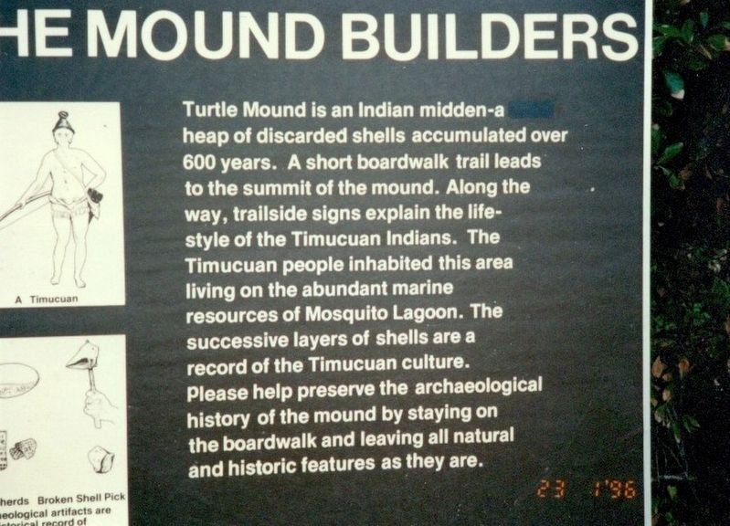
Inscription. Turtle Mound is an Indian midden-a heap of discarded shells accumulated over 600 years. A short boardwalk trail leads to the summit of the mound. Along the way, trailside signs explain the life-style of the Timucuan Indians. The Timucuan people inhabited this area living on the abundant marine resources of Mosquito Lagoon. The successive layers of shells are a record of the Timucuan culture. Please help preserve the archaeological history of the mound by staying on the boardwalk and leaving all natural and historic features as they are.
 
Erected by National Park Service, US Department of the Interior.
 
Topics. This historical marker is listed in these topic lists: Native AmericansWaterways & Vessels.
 
Location. 28° 55.824′ N, 80° 49.542′ W. Marker is in New Smyrna Beach, Florida, in Volusia County. Marker can be reached from South Atlantic Avenue (State Road A1A) 0.9 miles north of River Road, on the left when traveling north. The mounds are on the grounds of the Canaveral National Seashore and administered by the National Park Service. Touch for map. Marker is at or near this postal address: 7600 S Atlantic Ave, New Smyrna Beach FL 32169, United States of America. Touch for directions.
 
Other nearby markers. At least 8 other markers are within 4 miles of this marker, measured as the crow flies. Turtle Mound (about 300 feet away, measured in a direct
Paid Advertisement
Click on the ad for more information.
Please report objectionable advertising to the Editor.
Click or scan to see
this page online
line); A Gateway to the Stars (approx. ¼ mile away); Eldora House (approx. 1½ miles away); Eldora Village (approx. 1½ miles away); a different marker also named Eldora Village (approx. 1½ miles away); Bethune Beach (approx. 1.6 miles away); Bethune-Volusia Beach (approx. 1.6 miles away); Veterans Field of Honor (approx. 3.7 miles away). Touch for a list and map of all markers in New Smyrna Beach.
 
Also see . . .
1. Turtle Mound. Wikipedia (Submitted on December 5, 2016.) 

2. Canaveral National Seashore. National Park Service (Submitted on December 5, 2016.) 
 
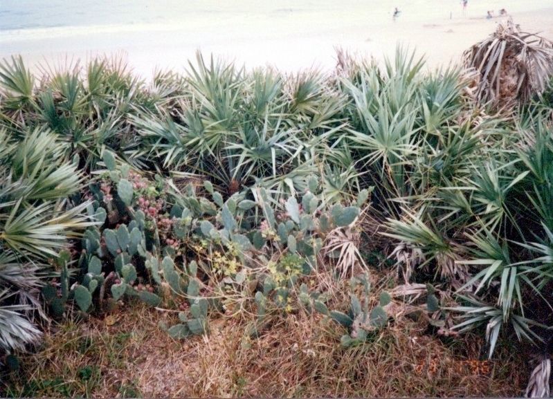
Boardwalk to Turtle Mound image. Click for full size.
Photographed By Don Morfe, January 23, 1996
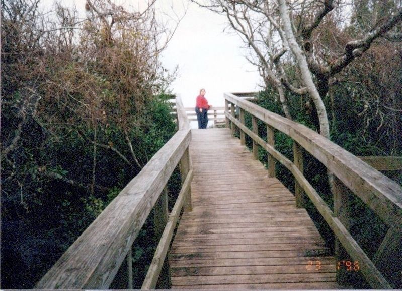
2. Boardwalk to Turtle Mound
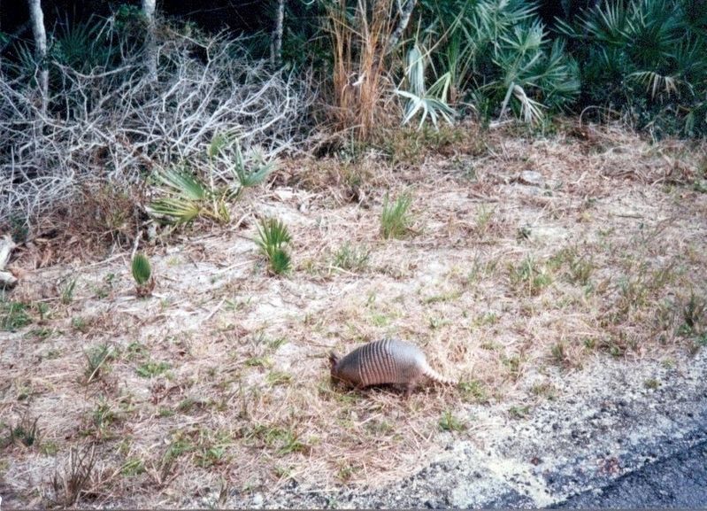
Armadillo near the boardwalk image. Click for full size.
Photographed By Don Morfe, January 23, 1996
3. Armadillo near the boardwalk
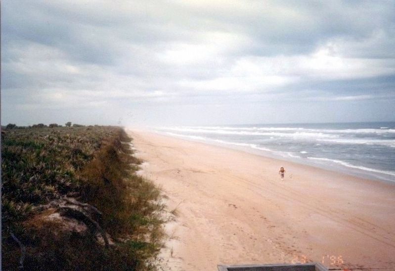
Canaveral National Seashore image. Click for full size.
Photographed By Don Morfe, January 23, 1996
4. Canaveral National Seashore
Canaveral National Seashore image. Click for full size.
Photographed By Don Morfe, January 23, 1996
5. Canaveral National Seashore
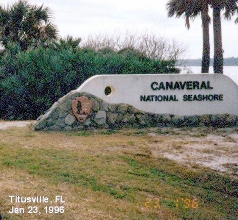
Sign at the entrance to Canaveral National Seashore image. Click for full size.
Photographed By Don Morfe, January 23, 1996
6. Sign at the entrance to Canaveral National Seashore
 
 
Credits. This page was last revised on December 5, 2016. It was originally submitted on December 4, 2016, by Don Morfe of Baltimore, Maryland. This page has been viewed 315 times since then and 7 times this year. Photos:   1, 2, 3, 4, 5, 6. submitted on December 4, 2016, by Don Morfe of Baltimore, Maryland. • Bernard Fisher was the editor who published this page.
Share this page.  
Share on Tumblr
m=100192

CeraNet Cloud Computing sponsors the Historical Marker Database.
This website earns income from purchases you make after using our links to Amazon.com. We appreciate your support.
Paid Advertisement
Apr. 25, 2024