Santiago de Querétaro in Querétaro, Mexico — The Central Highlands (North America)
Aqueduct
Photographed by J. Makali Bruton, November 11, 2016
1. Aqueduct Marker

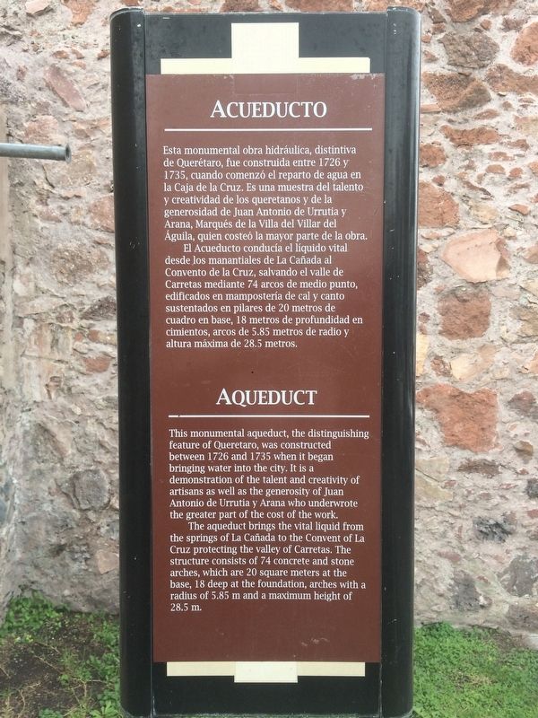
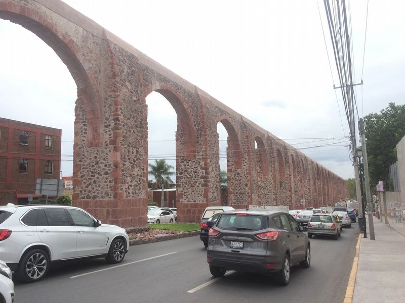
El Acueducto conducía el líquido vital desde los manantiales de La Cañada al Convento de la Cruz, salvando el valle de Carretas mediante 74 arcos de medio punto, edificados en mampostería de cal y canto sustentados en pilares de 20 metros de cuadro en base, 18 metros de profundidad en cimientos, arcos de 5.85 metros de radio y altura máxima de 28.5 metros.
The aqueduct brings the vital liquid from the springs of La Cañada to the Convent of La Cruz protecting the
this page online
Topics. This historical marker is listed in these topic lists: Charity & Public Work • Colonial Era • Man-Made Features. A significant historical year for this entry is 1726.
Location. Marker has been permanently removed. It was located near 20° 35.929′ N, 100° 22.17′ W. Marker was in Santiago de Querétaro, Querétaro. It was on Calzada de los Arcos just south of Calle Villa los Arcos, in the median. Touch for map. Marker was at or near this postal address: Calzada de los Arcos 171, Santiago de Querétaro QUE 76024, Mexico.
We have been informed that this marker is no longer there and will not be replaced. This page is an archival view of what was.
Regionally, this marker was in Central Mexico and in the Bajío. Globally, it was in North America, specifically in Mesoamerica, on the Ring of Fire, and in the Western Hemisphere. Historically, it found itself in what was once New Spain, a Spanish colony, and the Aztec

Photographed by J. Makali Bruton, November 11, 2016
2. Aqueduct Marker
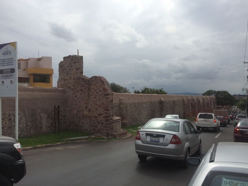
The marker is seen here to the left, looking south along Calzada de los Arcos. This is the direction that water would travel into the city of Querétaro.
Other nearby markers. At least 8 other markers are within walking distance of this location: St. James the Pilgrim (within shouting distance of this marker); The Ahuehuete of the Querétaro River (approx. 0.4 kilometers away); Our Lady of Montserrat (approx. 0.6 kilometers away); El Camino Real de Tierra Adentro (approx. 1.3 kilometers away); The Aqueduct of Querétaro (approx. 1.3 kilometers away); Ignacio Pérez (approx. 1.3 kilometers away); Epigmenio González (approx. 1.3 kilometers away); In Honor of the Workers of Hércules (approx. 1.3 kilometers away). Touch for a list and map of all markers in Santiago de Querétaro.

Photographed by J. Makali Bruton, November 11, 2016
3. Aqueduct Marker
The marker is to the left of an original water tank near this portion of the aqueduct.
Photographed by J. Makali Bruton, September 6, 2018
4. Aqueduct Marker has been removed
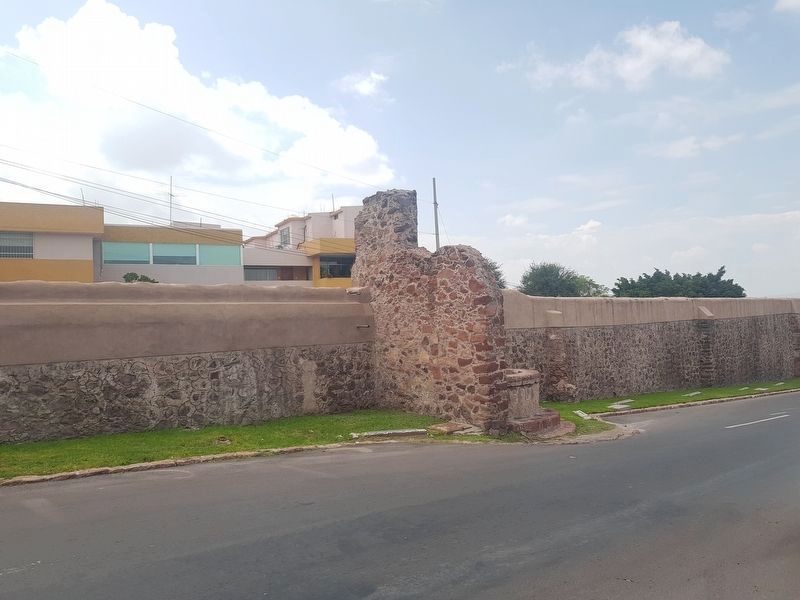
The marker has been removed from the area east of the aqueduct.
Photographed by J. Makali Bruton, November 11, 2016
5. The Aqueduct of Querétaro
Credits. This page was last revised on September 15, 2018. It was originally submitted on December 7, 2016, by J. Makali Bruton of Washington, District of Columbia. This page has been viewed 307 times since then and 5 times this year. Photos: 1, 2, 3. submitted on December 7, 2016, by J. Makali Bruton of Washington, District of Columbia. 4. submitted on September 15, 2018, by J. Makali Bruton of Washington, District of Columbia. 5. submitted on December 7, 2016, by J. Makali Bruton of Washington, District of Columbia.
