
Santiago de Querétaro in Querétaro, Mexico — The Central Highlands (North America)
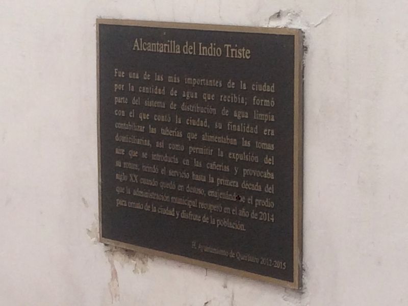
The Waterway of the Sad Indian
Photographed by J. Makali Bruton, December 10, 2016
1. The Waterway of the Sad Indian Marker
H. Ayuntamiento de Querétaro 2012-2015
English translation:
this page online
Honorable City Council of Querétaro 2012-2015
Erected by Honorable Ayuntamiento de Querétaro 2012-2015.
Topics. This historical marker is listed in these topic lists: Colonial Era • Industry & Commerce • Man-Made Features. A significant historical year for this entry is 2014.
Location. 20° 35.6′ N, 100° 23.274′ W. Marker is in Santiago de Querétaro, Querétaro. It is on Calle Venustiano Carranza just east of Calle Rio de la Loza Sur, on the left when traveling west. Touch for map. Marker is in this post office area: Santiago de Querétaro QUE 76000, Mexico. Touch for directions.

Regionally, this marker is in Central Mexico and in the Bajío. Globally, it is in North America, specifically in Mesoamerica, on the Ring of Fire, and in the Western Hemisphere. Historically, it finds itself in what was once New Spain, a Spanish colony, and the Aztec Empire.
Other nearby markers. At least 8 other markers are within walking distance of this marker: Venustiano Carranza Garza (within shouting distance of this marker); Temple of La Merced (about 90 meters away,
Photographed by J. Makali Bruton, December 10, 2016
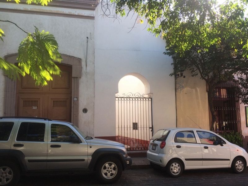
2. The Waterway of the Sad Indian Marker
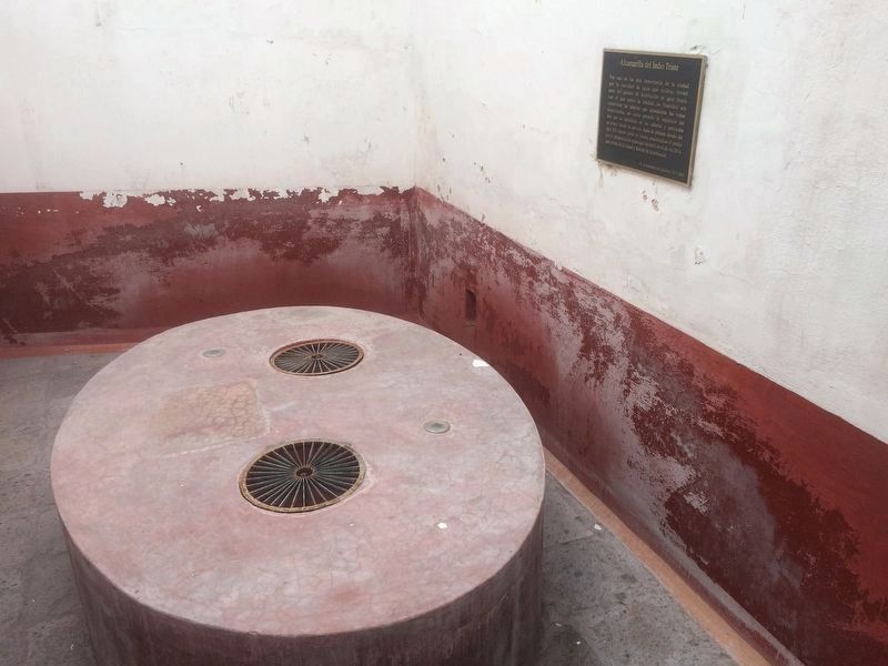
The marker can be seen here in the space where the pipes of the waterway once joined together. This area was recently reclaimed by the city government of Querétaro.
Photographed by J. Makali Bruton, December 10, 2016
3. The Waterway of the Sad Indian Marker
Credits. This page was last revised on January 5, 2017. It was originally submitted on January 5, 2017, by J. Makali Bruton of Washington, District of Columbia. This page has been viewed 351 times since then and 12 times this year. Photos: 1, 2, 3. submitted on January 5, 2017, by J. Makali Bruton of Washington, District of Columbia.
