
Near Bowie in Cochise County, Arizona — The American Mountains (Southwest)
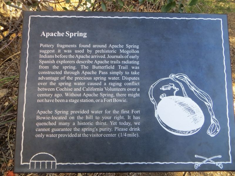
Apache Spring
Photographed by Bill Kirchner, January 8, 2017
1. Apache Spring Marker
Apache Spring provided water for the first Fort Bowie – located on the hill to your right. It has quenched many a historic thirst. Yet today, we cannot guarantee the spring's purity. Please drink only water provided at the visitor center (¼ mile).
Topics. This historical marker is listed in these topic lists: Forts and Castles • Indigenous Peoples and Communities • Waterways & Vessels.
Location. 32° 8.739′ N, 109° 26.441′ W. Marker is near Bowie, Arizona, in Cochise County. It can be reached from Fort Bowie Trail 1.2 miles south of Apache
this page online

Regionally, this marker is in the Sky Islands and in Southeastern Arizona. It is also in the American Southwest. Globally, it is in North America, the Western Hemisphere, the Western World, and the Anglosphere. Historically, it finds itself in what was once New Spain and also the Gadsden Purchase.
Other nearby markers. At least 8 other markers are within walking distance of this marker: First Fort Bowie (about 600 feet away, measured in a direct line); Post Trader (approx. 0.2 miles away); The Battle of Apache Pass; July 15-16, 1862 (approx. 0.2 miles away); Infantry Barracks (approx. ¼ mile away); Second Fort Bowie (approx. ¼ mile away); Quartermaster Storehouse (approx. ¼ mile away); The Chiricahua Apache Indian Agency (approx. 0.3 miles away); Cavalry Mess Hall and Kitchen (approx. 0.3 miles away). Touch for a list and map of all
Photographed by Bill Kirchner, January 8, 2017
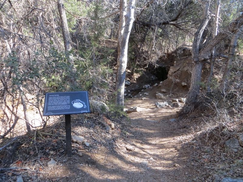
2. Apache Spring Marker
Spring is at dark spot in center of photo.
Photographed by Bill Kirchner, January 8, 2017
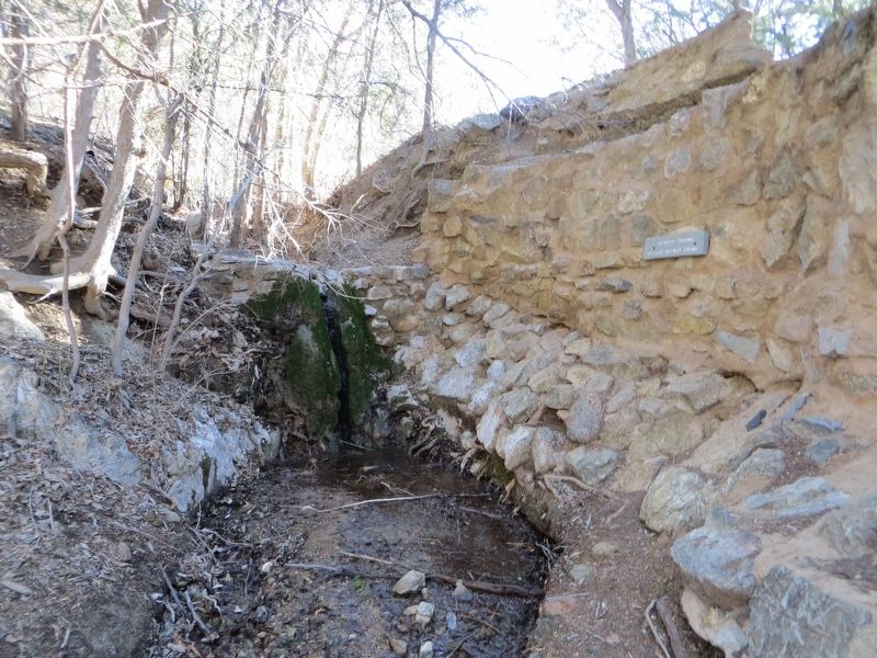
3. Apache Spring
Credits. This page was last revised on January 14, 2017. It was originally submitted on January 14, 2017, by Bill Kirchner of Tucson, Arizona. This page has been viewed 1,500 times since then and 85 times this year. Photos: 1, 2, 3. submitted on January 14, 2017, by Bill Kirchner of Tucson, Arizona.
