Near Monroe in Monroe County, Michigan — The American Midwest (Great Lakes)
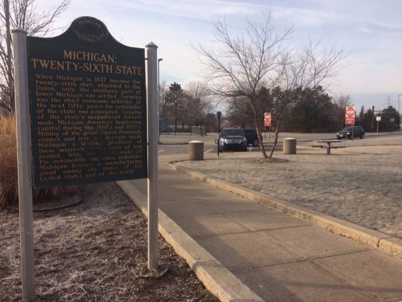
Michigan: Historic Crossroads / Michigan: Twenty-Sixth State
Inscription.
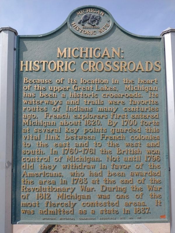
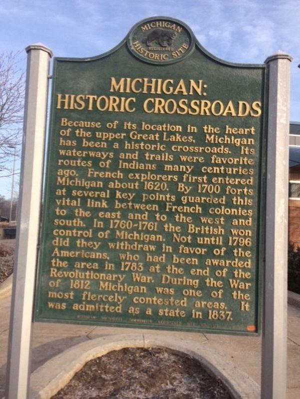
Michigan: Historic Crossroads
Because of its location in the heart of the upper Great Lakes, Michigan has been a historic crossroads. Its waterways and trails were favorite routes of Indians many centuries ago. French explorers first entered Michigan about 1620. By 1700 forts at several key points guarded this vital link between French colonies to the east and to the west and south. In 1760-1761 the British won control of Michigan. Not until 1796 did they withdraw in favor of the Americans, who had been awarded the area in 1783 at the end of the Revolutionary War. During the War of 1812 Michigan was one of the most fiercely contested areas. It was admitted as a state in 1837.
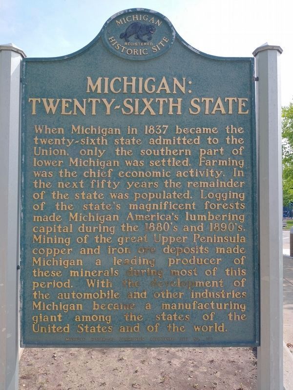
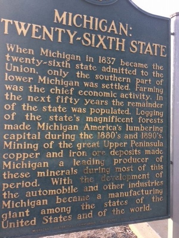
Michigan: Twenty-Sixth State
When Michigan in 1837 became the twenty-sixth state admitted to the Union, only the southern part of lower Michigan was settled. Farming was the chief economic activity. In the next fifty years the remainder of the state was populated. Logging of the state's magnificent forests made Michigan America's lumbering capital during the 1880's and 1890's. Mining of the great Upper Peninsula copper and iron ore deposits made Michigan a leading producer of these minerals during most of this period. With the development of the automobile and other industries Michigan became a manufacturing giant among the states of the United States and of the world.
Erected 1958 by Michigan Historical Commission. (Marker Number 165.)
Topics and series. This historical marker is listed in these topic lists: Industry & Commerce • Native Americans • Settlements & Settlers • War of 1812. In addition, it is included in the Michigan Historical Commission series list.
Location. 41° 51.788′ N, 83° 24.306′ W. Marker is near Monroe, Michigan, in Monroe County. Marker can be reached from Interstate 75. This marker is located in the first rest area on I-75 going north into Michigan, near the town of Luna Pier. The marker is located close to the rest area visitor center building on the west side. Touch for map. Marker is in this post office area: Monroe MI 48161, United States of America. Touch for directions.
Other nearby markers. At least 8 other markers are within 4 miles of this marker, measured as the crow flies. Airborne Memorial (within shouting distance of this marker); LaPlaisance Bay Settlement (approx. one mile away); LaPlaisance Bay (approx. 1˝ miles away); LaSalle Township FD 9/11 Memorial (approx. 2.4 miles away); Lutherans In Monroe County (approx. 2.4 miles away); Indian Attack (approx. 2.8 miles away); Boston Custer - Autie Reed
(approx. 3.2 miles away); George Francis Heath, M.D. (approx. 3.2 miles away). Touch for a list and map of all markers in Monroe.
Credits. This page was last revised on July 4, 2022. It was originally submitted on January 15, 2017, by Michael Baker of Lima, Ohio. This page has been viewed 553 times since then and 55 times this year. Photos: 1, 2. submitted on May 23, 2022, by Craig Doda of Napoleon, Ohio. 3, 4, 5. submitted on January 15, 2017, by Michael Baker of Lima, Ohio. 6. submitted on June 4, 2018, by Joel Seewald of Madison Heights, Michigan. • Bill Pfingsten was the editor who published this page.
