Near Wateree in Richland County, South Carolina — The American South (South Atlantic)
Congaree River Ferries
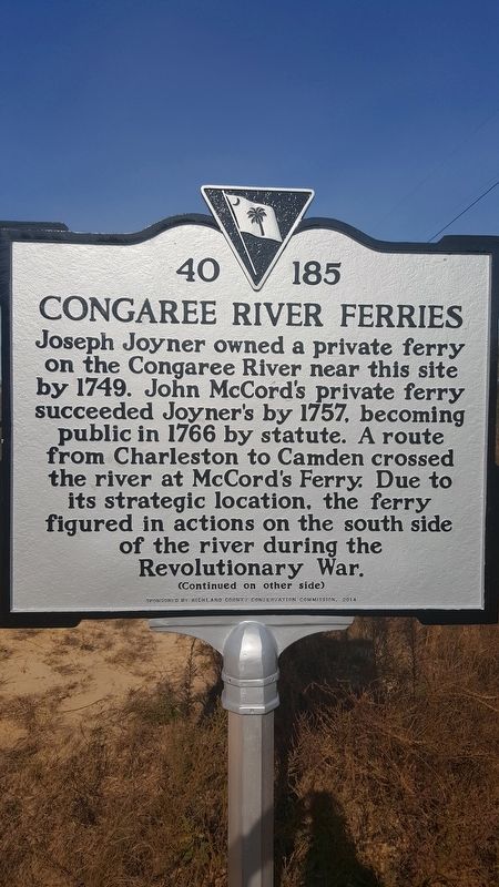
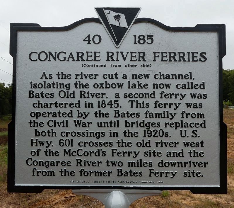
Joseph Joyner owned a private ferry on the Congaree River near this site by 1749. John McCord's private ferry succeeded Joyner's by 1757, becoming public in 1766 by statue. A route from Charleston to Camden crossed the river at McCord's Ferry. Due to its strategic location, the ferry figured in actions on the south side of the river during the Revolutionary War.
Erected 2014 by Richland County Conservation Commission. (Marker Number 40 185.)
Topics. This historical marker is listed in these topic lists: Colonial Era • Waterways & Vessels. A significant historical year for this entry is 1749.
Location. 33° 45.781′ N, 80° 38.533′ W. Marker is near Wateree, South Carolina, in Richland County. Marker is on U.S. 601, 2.4 miles south of 2 Rivers Road (South Carolina Highway 267), on the right when traveling south. Touch for map. Marker is in this post office area: Saint Matthews SC 29135, United States of America. Touch for directions.
Other nearby markers. At least 8 other markers are within 8 miles of this marker, measured as the crow flies. John M. Bates Bridge (approx. 0.4 miles away); Site of Rebecca Motte's Home (approx. 1.6 miles away); St. Matthew's Parish (approx. 3.8 miles away); Kingville (approx. 4.4 miles away); Mount Pleasant Baptist Church (approx. 4.8 miles away); St. Phillip A.M.E. Church (approx. 6 miles away); Richland Presbyterian Church (approx. 6˝ miles away); Kensington (approx. 7.4 miles away).
Credits. This page was last revised on November 2, 2018. It was originally submitted on January 16, 2017, by Kevin L Smith of Fort Bragg, North Carolina. This page has been viewed 972 times since then and 102 times this year. Photos: 1. submitted on January 16, 2017, by Kevin L Smith of Fort Bragg, North Carolina. 2, 3. submitted on October 31, 2018. • Bernard Fisher was the editor who published this page.


