
Near Williamsburg in James City County, Virginia — The American South (Mid-Atlantic)
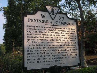
Peninsula Campaign
Photographed by Bill Coughlin, August 10, 2008
1. Peninsula Campaign Marker
Erected 1998 by Department of Historic Resources. (Marker Number W-37.)
Topics and series. This historical marker is listed in this topic list: War, US Civil. In addition, it is included in the Virginia Department of Historic Resources (DHR) series list. A significant historical year for this entry is 1862.
Location. 37° 15.853′ N, 76° 40.728′ W. Marker is near Williamsburg, Virginia, in James City County. It is at the intersection of Pocahontas Trail (U.S. 60) and Avon Avenue, on the right when traveling east on Pocahontas
this page online

Regionally, this marker is on Virginia’s Peninsula, in Coastal Virginia, and in the Hampton Roads Metropolitan Area. It is also in the American South, specifically in the Upper South, in the Tidewater, and on the Eastern Seaboard. Globally, it is in the North Atlantic Region, North America, the Western Hemisphere, the Western World, and the Anglosphere. Historically, it finds itself in what was once the territory of the Mississippian Culture, one of the original Thirteen Colonies, one of the Confederate States of America, and the Antebellum South.
Other nearby markers. At least 8 other markers are within walking distance of this marker: The Battle of Williamsburg (a few steps from this marker); Quarterpath Road (within shouting distance of this marker); History of Fort Magruder (about 500 feet away, measured in a direct line); a different marker also named Battle of Williamsburg (approx. 0.4 miles away); Redoubt 2 (approx.
Photographed by Bill Coughlin, August 10, 2008
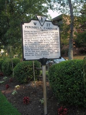
2. Williamsburg Marker
Other markers no longer nearby. Battle of Williamsburg (was within shouting distance of this marker but has been replaced with another marker now near it); Magruder’s Defenses (was approx. 0.3 miles away but has been confirmed missing); a different marker also named Vineyard Tract (was approx. 0.6 miles away but has been replaced with another marker now near it).
Also see . . . The Peninsula Campaign of 1862. (Submitted on August 10, 2008, by Bill Coughlin of Woodland Park, New Jersey.)
Photographed by Bill Coughlin, August 10, 2008
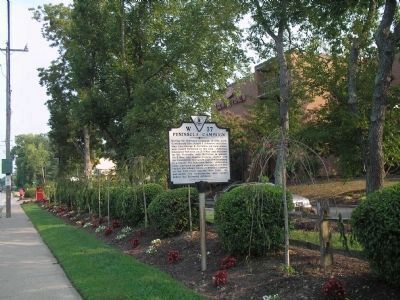
3. Peninsula Campaign Marker
The marker is located several miles south of Colonial Williamsburg.
Photographed by Brandon D Cross, January 28, 2019
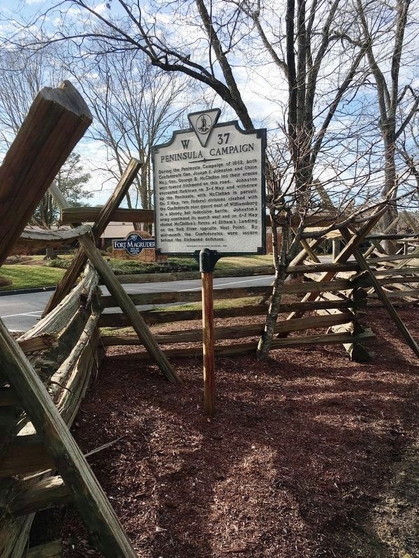
4. Peninsula Campaign Marker
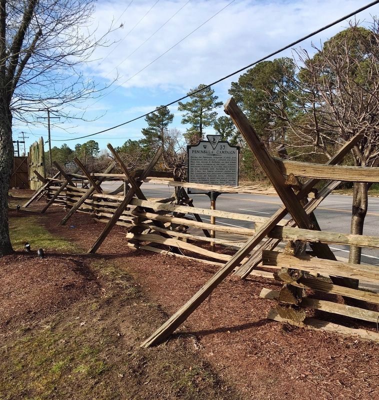
Photographed by Brandon D Cross, January 28, 2019
5. Peninsula Campaign Marker
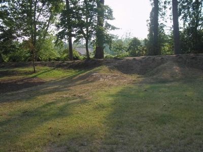
Photographed by Bill Coughlin, August 10, 2008
6. Remains of Fort Magruder
These earthworks, used during the Peninsula Campaign, are located a short distance from the marker on the grounds of the Fort Magruder Hotel.
Credits. This page was last revised on July 7, 2021. It was originally submitted on August 10, 2008, by Bill Coughlin of Woodland Park, New Jersey. This page has been viewed 1,825 times since then and 32 times this year. Photos: 1, 2, 3. submitted on August 10, 2008, by Bill Coughlin of Woodland Park, New Jersey. 4, 5. submitted on February 27, 2019, by Brandon D Cross of Flagler Beach, Florida. 6. submitted on August 10, 2008, by Bill Coughlin of Woodland Park, New Jersey.
