Eufaula in Barbour County, Alabama — The American South (East South Central)
The City of Eufaula
— Creek Heritage Trail —
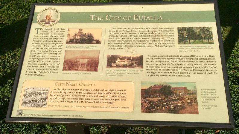
Most of the area of modern downtown Eufaula was developed by the 1840s. As Broad Street became the primary thoroughfare for the city, older wooden buildings closer to the river were gradually replaced with more substantial brick structures nearer the intersection with Eufaula Avenue (Highway 431). These sections of town became known locally as "Rotten Row" and "Brick Row" respectively. Within the decade Eufaula would complete its transition from a frontier community to one of Alabama's primary trading centers.
Steamboats landed at Eufaula as early as 1828, and by the 1840s the city had become a leading regional river transportation center. Wagons brought cotton from area plantations and farms over fifty miles away to Eufaula for shipment during the era. Thousands of bales were sent via steamboat to Apalachicola on the Gulf of Mexico and on to ports such as New York and Liverpool. Steamers heading upriver from the Gulf carried a wide array of goods for the growing markets in the Eufaula area.
City Name Change
In 1843 the community of Irwinton reclaimed its original name of Eufaula through an act of the Alabama legislature. Officially, this was because of popular affection for its original name. According to local legend, though, the change came after a prominent resident grew tired of having mail misdirected to the town of Irwinton, Georgia.
[Left side photo captions]
Kendall Manor, Courtesy of the Alabama Department of Archives and History
Fendall Hall, Courtesy of Fendall Hall
[Left side newspaper caption]
January 11, 1843 article in the Columbus Enquirer about the changing of the name of the town.
[Middle photo]
The W.C. Bradleydocked at Eufaula, ca. 1900
Courtesy of the Alabama Department of Archives and History
[Top right photo]
Early view of Broad Street showing the double row of trees that originally lined it.
Courtesy of Rob Schaffeld
[Bottom right photo]
A vibrant wagon trade supported Eufaula's rise to become a regional cotton trading center.
Courtesy of Rob Schaffeld
Erected 2015 by the Historic Chattahoochee Commission and the City of Eufaula.
Topics. This historical marker is listed in these topic lists: Native Americans • Settlements & Settlers • Waterways & Vessels. A significant historical date for this entry is January 11, 1843.
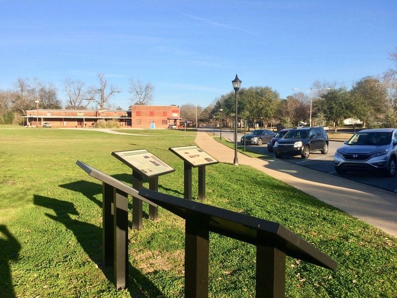
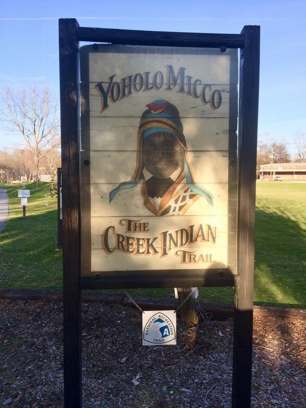
Location. 31° 53.599′ N, 85° 8.403′ W. Marker is in Eufaula, Alabama, in Barbour County. Marker is on East Broad Street east of North Livingston Avenue, on the right when traveling west. Interpretive marker is located at the Yoholo Micco Trail. Touch for map. Marker is at or near this postal address: East Broad Street, Eufaula AL 36027, United States of America. Touch for directions.
Other nearby markers. At least 8 other markers are within walking distance of this marker. The Second Creek War in the Eufaula Area (here, next to this marker); The Town of Irwinton (here, next to this marker); The Creek Town of Eufaula (here, next to this marker); Central Railroad of Georgia Freight Depot (within shouting distance of this marker); William Thomas "Tom" Mann / Eufaula, Alabama (within shouting distance of this marker); Eufaula (within shouting distance of this marker); Cotton and Creek Country (about 500 feet away, measured in a direct line); Chief Eufaula (Yoholo Micco) (about 600 feet away). Touch for a list and map of all markers in Eufaula.
Also see . . . The Encyclopedia of Alabama history of Eufaula. (Submitted on February 11, 2017, by Mark Hilton of Montgomery, Alabama.)
Credits. This page was last revised on July 25, 2018. It was originally submitted on February 11, 2017, by Mark Hilton of Montgomery, Alabama. This page has been viewed 732 times since then and 59 times this year. Photos: 1, 2, 3, 4. submitted on February 11, 2017, by Mark Hilton of Montgomery, Alabama.


