
Manassas in Prince William County, Virginia — The American South (Mid-Atlantic)
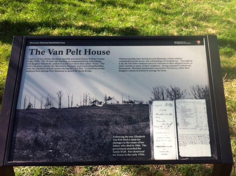
The Van Pelt House
Manassas National Battlefield Park
Photographed by Shane Oliver, March 28, 2016
1. The Van Pelt House Marker
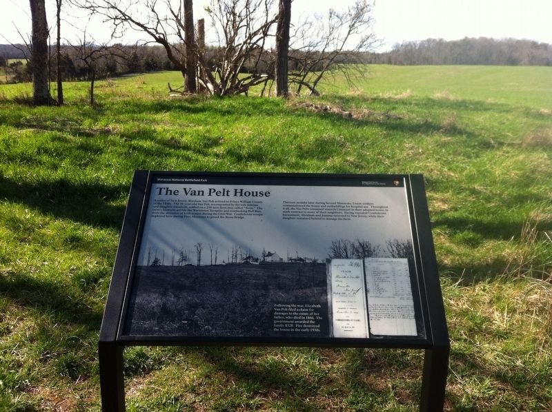
Thirteen months later during Second Manassas, Union soldiers commandeered the house and outbuildings for hospital use. Throughout it all, the Van Pelts remained staunch Unionists in their adopted home, in stark contrast to many of their neighbors. Facing repeated Confederate harassment, Abraham and Jemima returned to New Jersey, while their daughter remained behind to manage the farm.
(caption)
Following the war, Elizabeth Van Pelt filed a claim for damages to the estate of her father, who died in 1866. The government awarded the family $320. Fire destroyed the house in the early 1930s.
Erected by National Park Service, U.S. Department of the Interior.
Topics. This historical marker
this page online
Location. 38° 49.468′ N, 77° 30.705′ W. Marker is in Manassas, Virginia, in Prince William County. It can be reached from Lee Highway (Virginia Route 29) 1.1 miles east of Sudley Road (Route 234), on the left when traveling east. Located along a park walking trail. Touch for map. Marker is in this post office area: Manassas VA 20109, United States of America. Touch for directions.

Regionally, this marker is in the Washington Metropolitan Area, in Northern Virginia, and in the Piedmont. It is also in the American South, specifically in the Upper South, in the Mid-Atlantic, and on the Eastern Seaboard. Globally, it is in the North Atlantic Region, North America, the Western Hemisphere, the Western World, and the Anglosphere. Historically, it finds itself in what was once the territory of the Mississippian Culture, one of the original Thirteen Colonies, one of the Confederate States of America, and the Antebellum South.
Other nearby markers. At least 8 other markers are within walking distance of this marker: Opening Shots (about
Photographed by Shane Oliver, March 28, 2016
2. The Van Pelt House Marker and Foundation
Other markers no longer nearby. Farm Ford (was approx. ¼ mile away but has been replaced with another marker now near it); Stone Bridge (was approx. half a mile away but has been confirmed missing).
Also see . . . Manassas National Battlefield Park. National Park Service (Submitted on February 21, 2017.)
Credits. This page was last revised on February 21, 2017. It was originally submitted on February 18, 2017, by Shane Oliver of Richmond, Virginia. This page has been viewed 1,416 times since then and 78 times this year. Photos: 1, 2. submitted on February 18, 2017, by Shane Oliver of Richmond, Virginia. • Bernard Fisher was the editor who published this page.
