Signal Hill in Los Angeles County, California — The American West (Pacific Coastal)
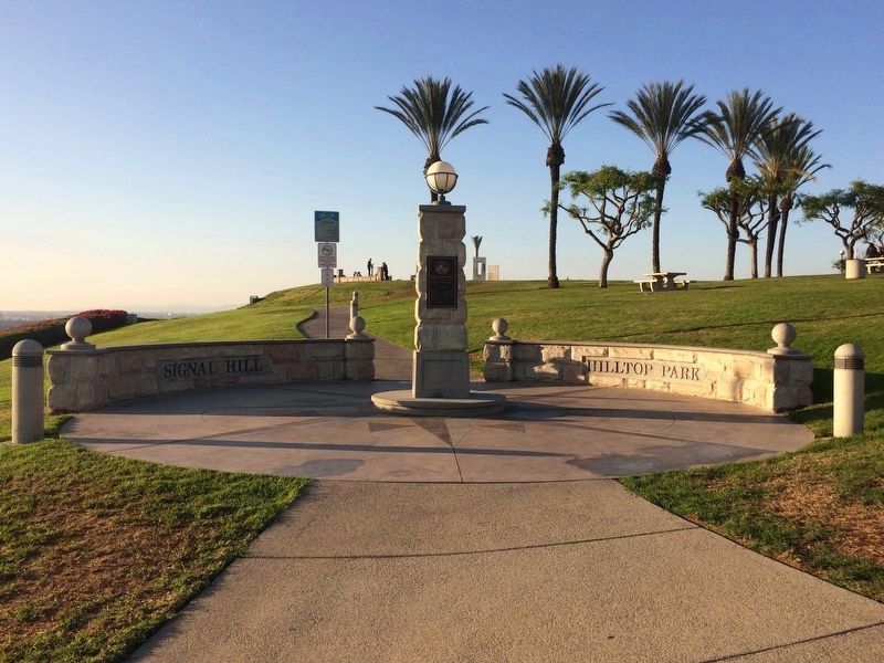
Hilltop Park
[Panel #1]
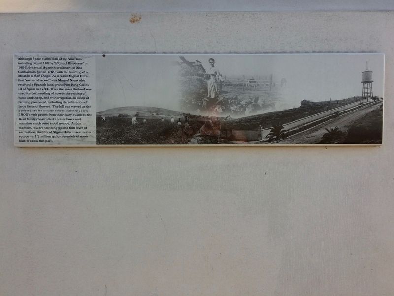
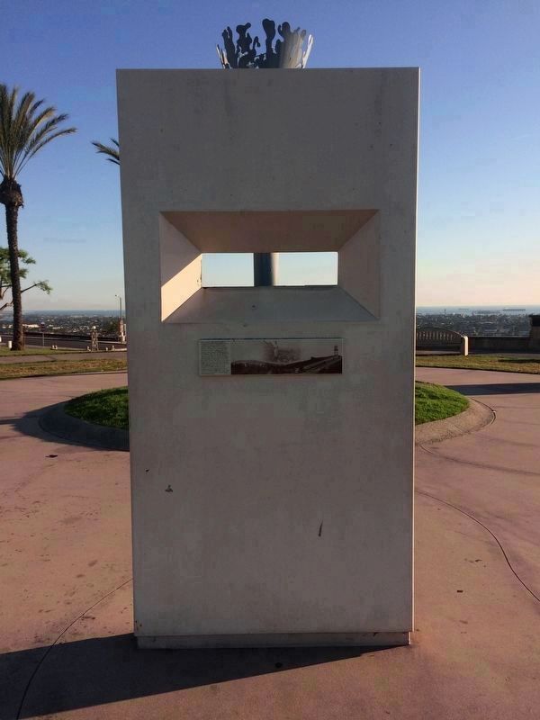
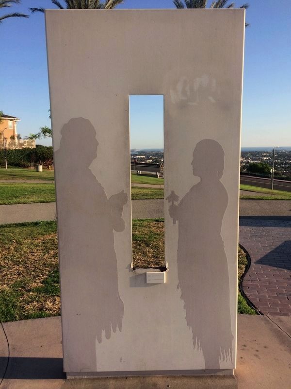
Although Spain claimed all of the Americas including Signal Hill by "Right of Discovery" in 1492, the actual Spanish settlement of Alta California began in 1769 with the building of a Mission in San Diego. As a result, Signal Hill's first "owner of record" was Manuel Nieto who received a Spanish land grant from King Carlos III of Spain in 1784. Over the years the land was used for the breeding of horses, the raising of cattle and sheep, and with irrigation, all kinds of farming prospered, including the cultivation of large fields of flowers. The hill was viewed as the perfect place for a water source and in the early 1900's with profits from their dairy business, the Deni family constructed a water tower and mansion which once stood nearby. At this moment, you are standing upon a thin layer of earth above the City of Signal Hill's unseen water source — a 1.2 million gallon reservoir of water buried below this park.
[Panel #2]
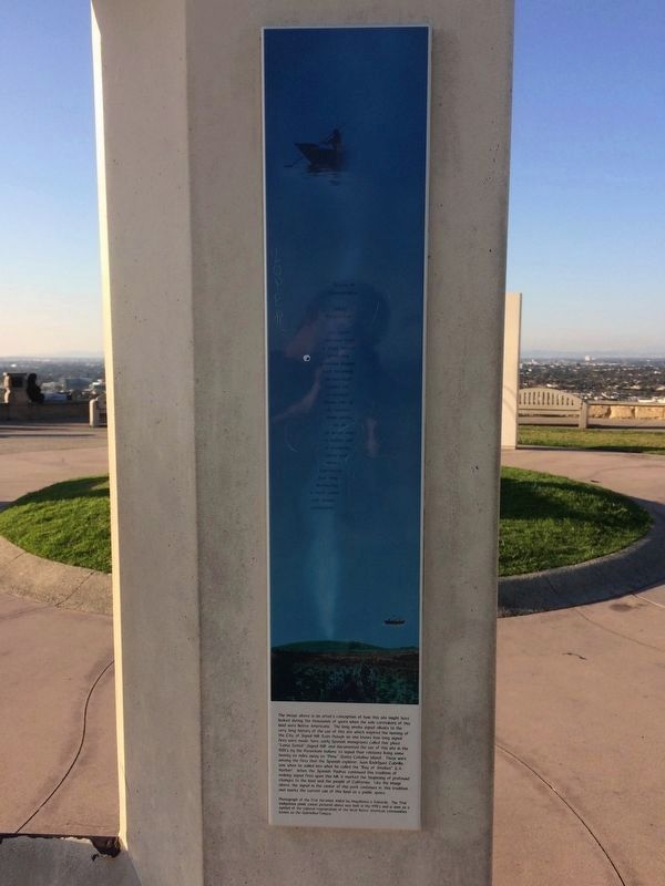
Waves of Remembrance
Hilltop Perspectives
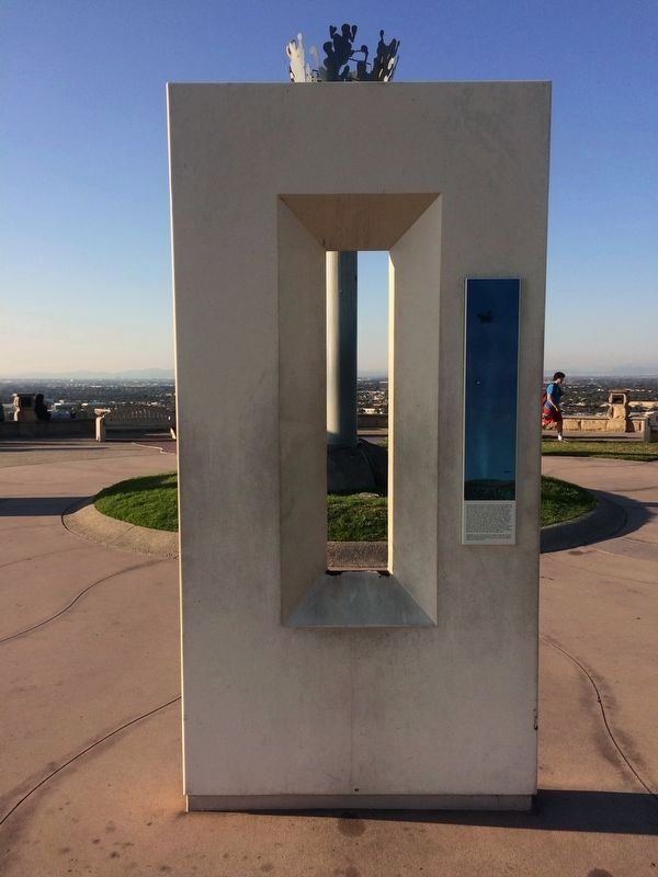
the signal emanates from a single source projecting countless images, each becoming an individual symbol for a message known only to its receiver from smoke, to oil to water mist, a hidden well of memories, visions and shared experiences over time illuminating a finite world with infinite connections
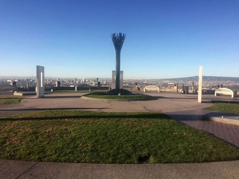
The image above is an artist's conception of how this site might have looked during the thousands of years when the sole caretakers of this land were Native Americans. The long smoke signal alludes to the very long history of the use of this site which inspired the naming of the City of Signal Hill. Even though no one knows how long signal fires were made here, early Spanish immigrants called this place "Loma Sental" (Signal Hill) and documented the use of this site in the 1500's by the Puvuvitam Indians to signal their relations living some twenty six miles away on "Pimu" (Santa Catalina Island). These were among the fires that the Spanish explorer, Juan Rodriguez Cabrillo, saw when he sailed into what he called the "Bay of Smokes" (L.A. Harbor). When the Spanish Padres continued this tradition of making signal fires upon this hill, it marked the beginning of profound changes to the land and the people of California. Like the image above, the signal in the center of this park continues in this tradition and marks the current use of this land as a public space.
Photograph of the Ti’at (Mo’omat Ahiko) by Magallanes & Edwards. The Ti’at (indigenous plank canoe) pictured above was built in the 1900’s and is seen as a symbol of the cultural regeneration of the local Native American communities known as the Gabrielino/Tongva.
[Panel #3]
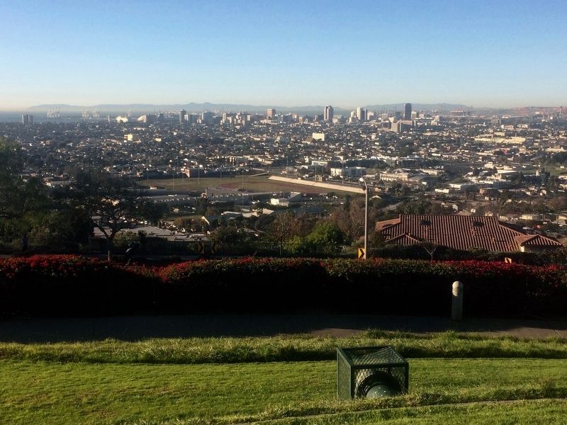
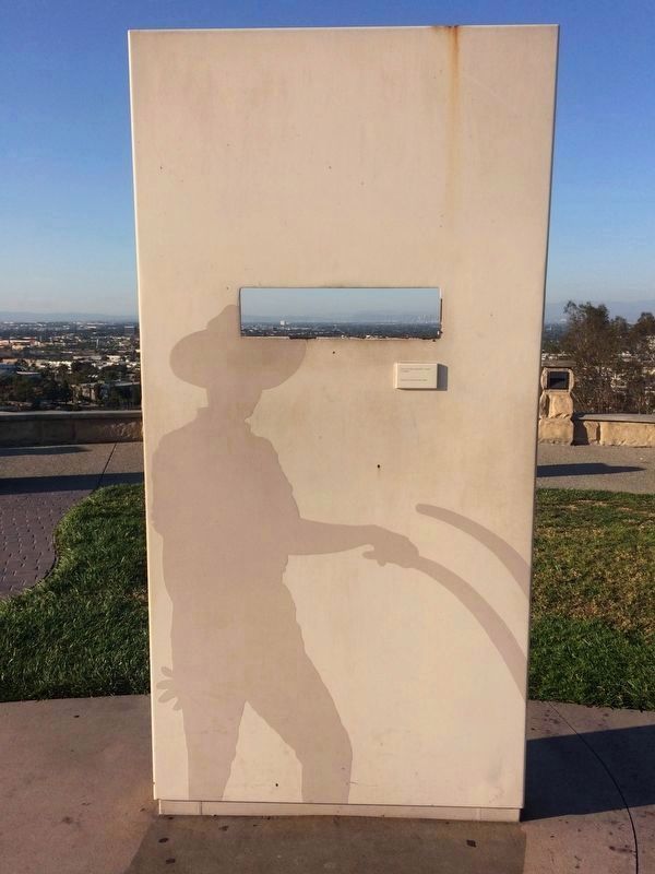
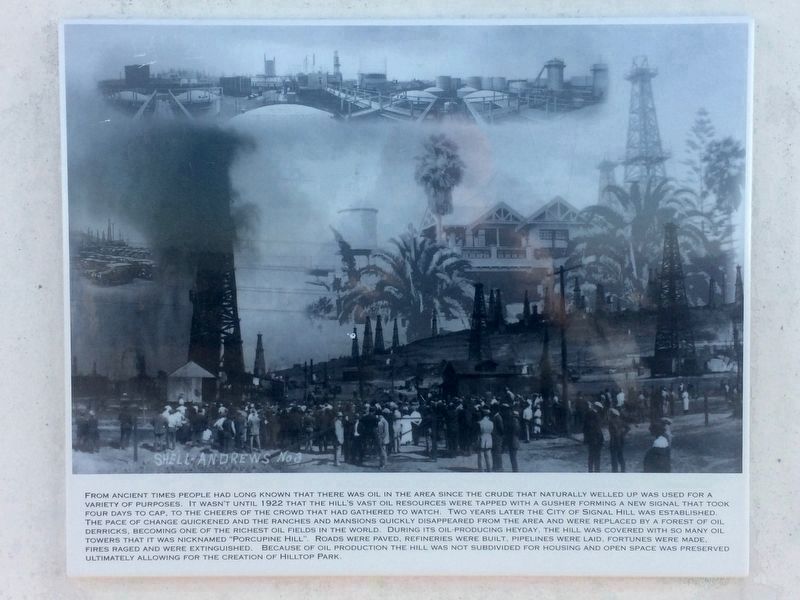
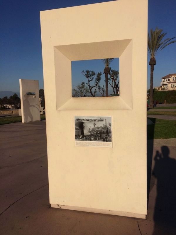
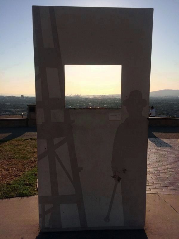
From ancient times people had long known that there was oil in the area since the crude that naturally welled up was used for a variety of purposes. It wasn't until 1922 that the hill's vast oil resources were tapped with a gusher forming a new signal that took four days to cap, to the cheers of the crowd that had gathered to watch. Two years later the city of Signal Hill was established. The pace of change quickened and the ranches and mansions quickly disappeared from the area and were replaced by a forest of oil derricks, becoming one of the richest oil fields in the world. During its oil-producing heyday, the hill was covered with so many oil towers that it was nicknamed "Porcupine Hill". Roads were paved, refineries were built, pipelines were laid, fortunes were made, fires raged and were extinguished. Because of oil production the hill was not subdivided for housing and open space was preserved ultimately allowing for the creation of Hilltop Park.
Topics. This historical marker is listed in these topic lists: Agriculture • Industry & Commerce • Native Americans • Settlements & Settlers. A significant historical year for this entry is 1492.
Location. 33° 47.932′ N, 118° 9.907′ W. Marker is in Signal Hill, California, in Los Angeles County. Marker is on Dawson Avenue, on the right when traveling west. Touch for map. Marker is at or near this postal address: 2301 Dawson Ave, Signal Hill CA 90755, United States of America. Touch for directions.
Other nearby markers. At least 8 other markers are within walking distance of this marker. “Tribute to the Roughnecks” (within shouting distance of this marker); Broadcasting and Music on the Hill (about 500 feet away, measured in a direct line); Oil Fires on the Hill (about 500 feet away); Japanese Farming on the Hill (approx. ¼ mile away); Early Aviation on the Hill (approx. ¼ mile away); Car Climbs on the Hill (approx. 0.3 miles away); "Unity Monument" (approx. 0.4 miles away); Discovery of Oil on the Hill (approx. 0.4 miles away). Touch for a list and map of all markers in Signal Hill.
Credits. This page was last revised on March 1, 2023. It was originally submitted on December 19, 2016, by Michael Kindig of Elk Grove, California. This page has been viewed 1,127 times since then and 91 times this year. Last updated on February 22, 2017, by Michael Kindig of Elk Grove, California. Photos: 1, 2. submitted on December 19, 2016, by Michael Kindig of Elk Grove, California. 3. submitted on February 22, 2017, by Michael Kindig of Elk Grove, California. 4. submitted on December 19, 2016, by Michael Kindig of Elk Grove, California. 5, 6. submitted on January 5, 2017, by Michael Kindig of Elk Grove, California. 7, 8, 9. submitted on February 20, 2017, by Michael Kindig of Elk Grove, California. 10. submitted on December 19, 2016, by Michael Kindig of Elk Grove, California. 11, 12. submitted on January 8, 2017, by Michael Kindig of Elk Grove, California. • Syd Whittle was the editor who published this page.
