Winn in Clarke County, Alabama — The American South (East South Central)
Union Methodist Church
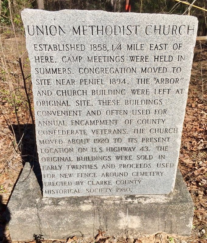
Photographed by Mark Hilton, February 25, 2017
1. Union Methodist Church Marker
Erected 1980 by Clarke County Historical Society.
Topics. This historical marker is listed in these topic lists: Cemeteries & Burial Sites • Religion & Religious Structures • War, US Civil. A significant historical year for this entry is 1858.
Location. 31° 37.945′ N, 87° 53.454′ W. Marker is in Winn, Alabama, in Clarke County. It is on Winn Road (County Road 3) 0.7 miles north of Zimco Road (Route 23), on the right when traveling north. Touch for map. Marker is at or near this postal address: Winn Road, Jackson AL 36545, United States of America. Touch for directions.

Regionally, this marker is in the American South and specifically in the Deep South. Globally, it is in North
this page online
Other nearby markers. At least 8 other markers are within 9 miles of this marker, measured as the crow flies: Fort Landrum Site (approx. 2.7 miles away); Upper Salt Works (approx. 5.3 miles away); Elijah & Isaac Pugh (approx. 5.8 miles away); Clarke County Courthouse Site (approx. 6.7 miles away); King Institute (approx. 6.7 miles away); Jackson Prisoner of War Camp (approx. 7 miles away); Kimbell House (approx. 7.1 miles away); First District Agricultural College and Experiment Station (approx. 8.2 miles away).
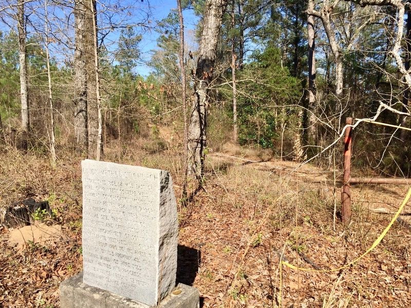
Photographed by Mark Hilton, February 25, 2017
2. Union Methodist Church Marker looking east towards former location.
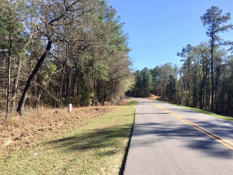
Photographed by Mark Hilton, February 25, 2017
3. View of marker looking south on Winn Road.
Credits. This page was last revised on February 26, 2017. It was originally submitted on February 26, 2017, by Mark Hilton of Montgomery, Alabama. This page has been viewed 728 times since then and 46 times this year. Photos: 1, 2, 3. submitted on February 26, 2017, by Mark Hilton of Montgomery, Alabama.
