Near Rockville in Clarke County, Alabama — The American South (East South Central)
Central Salt Works
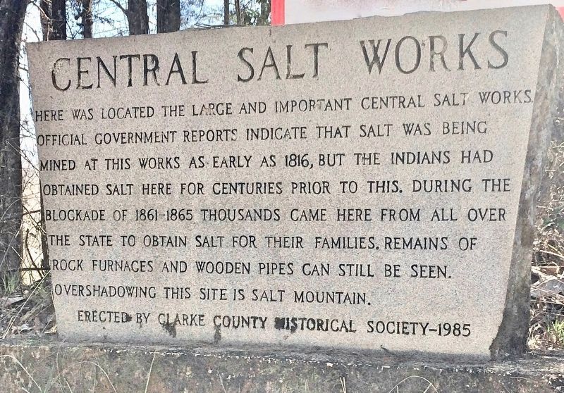
Photographed by Mark Hilton, February 25, 2017
1. Central Salt Works Marker
Erected 1985 by Clarke County Historical Society.
Topics. This historical marker is listed in these topic lists: Indigenous Peoples and Communities • Industry & Commerce • War, US Civil. A significant historical year for this entry is 1816.
Location. 31° 26.467′ N, 87° 52.273′ W. Marker is near Rockville, Alabama, in Clarke County. It can be reached from the intersection of Rockville Road (County Road 15) and Christian Vall Road, on the right when traveling south. Touch for map. Marker is at or near this postal address: Rockville Road, Jackson AL 36545, United States of America. Touch for directions.

Regionally, this marker is in the American South and specifically in the Deep
this page online
Other nearby markers. At least 8 other markers are within 6 miles of this marker, measured as the crow flies: Gravesite of Major Jeremiah Austill (approx. 1½ miles away); Bartram's Trail (approx. 4.2 miles away); The Clarke County War Memorial (approx. 4.8 miles away); City of Jackson (approx. 4.8 miles away); Jackson (approx. 4.8 miles away); CSA Brooke Cannon S-96 (approx. 4.8 miles away); Allman Brothers Band Arrested in Jackson (approx. 5 miles away); First District Agricultural College and Experiment Station (approx. 5.2 miles away). Touch for a list and map of all markers in Rockville.
Also see . . . Clarke County Historical Society article on the Salt Works. (Submitted on February 26, 2017, by Mark Hilton of Montgomery, Alabama.)
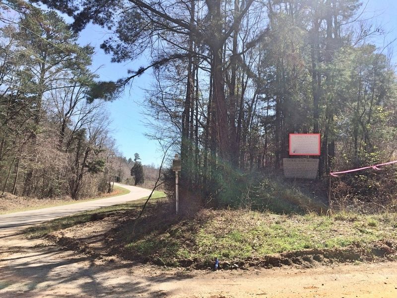
Photographed by Mark Hilton, February 25, 2017
2. Looking south at marker on Rockville Road.
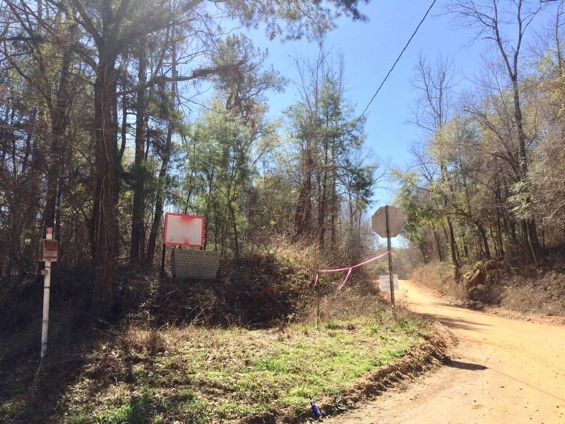
Photographed by Mark Hilton, February 25, 2017
3. View of marker westerly on Christian Vall Road.
Credits. This page was last revised on February 26, 2017. It was originally submitted on February 26, 2017, by Mark Hilton of Montgomery, Alabama. This page has been viewed 1,724 times since then and 106 times this year. Photos: 1, 2, 3. submitted on February 26, 2017, by Mark Hilton of Montgomery, Alabama.
