Saint Martinville in St. Martin Parish, Louisiana — The American South (West South Central)
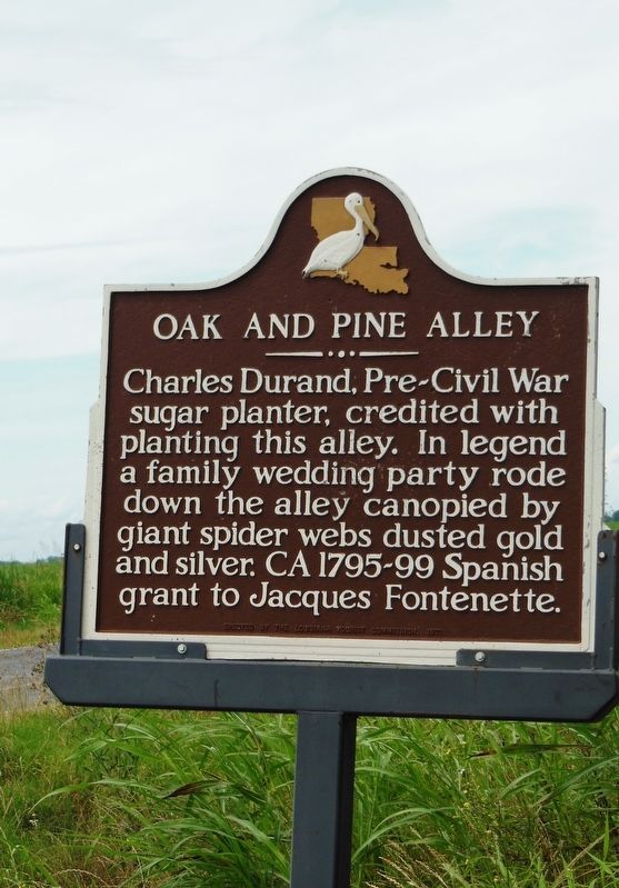
Oak and Pine Alley
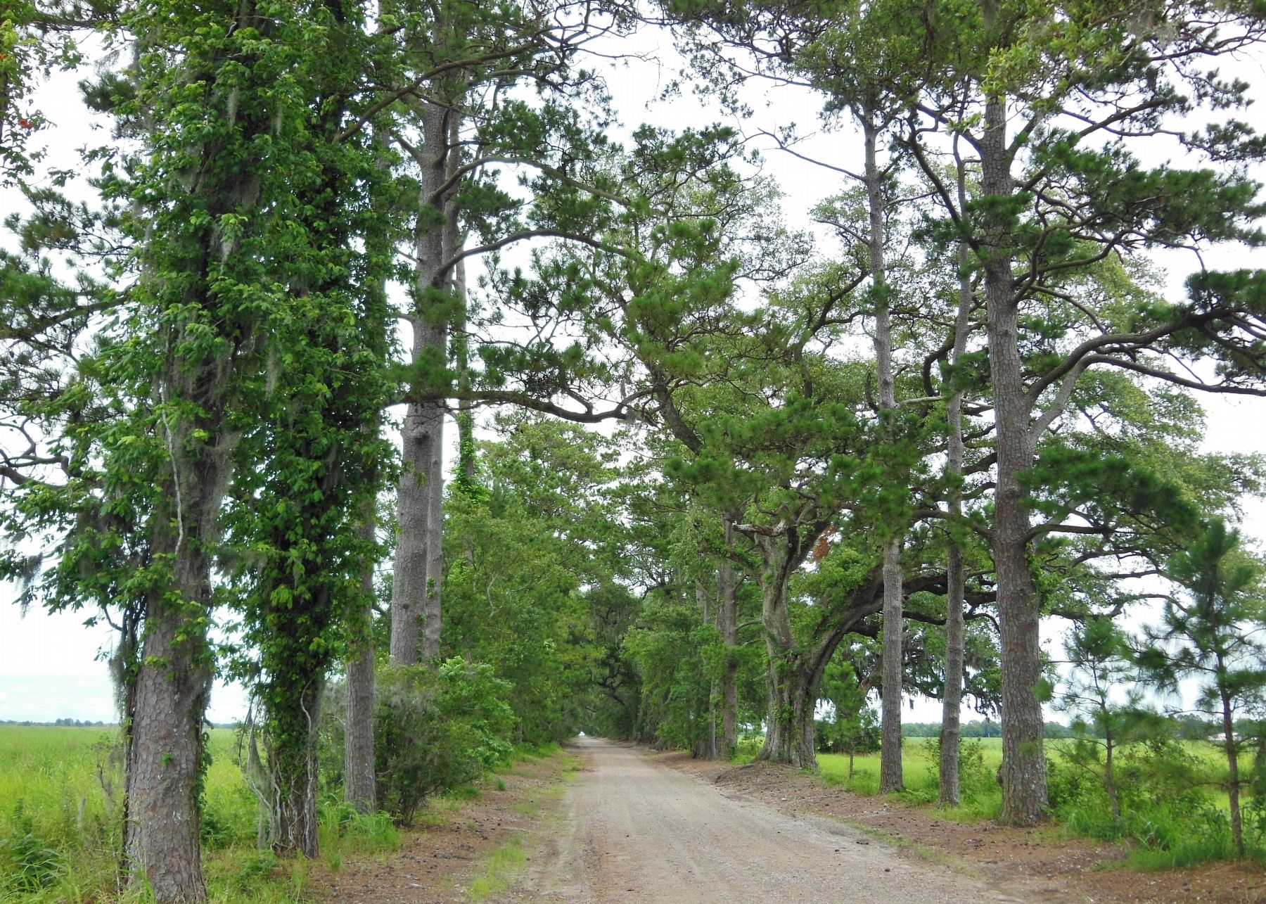
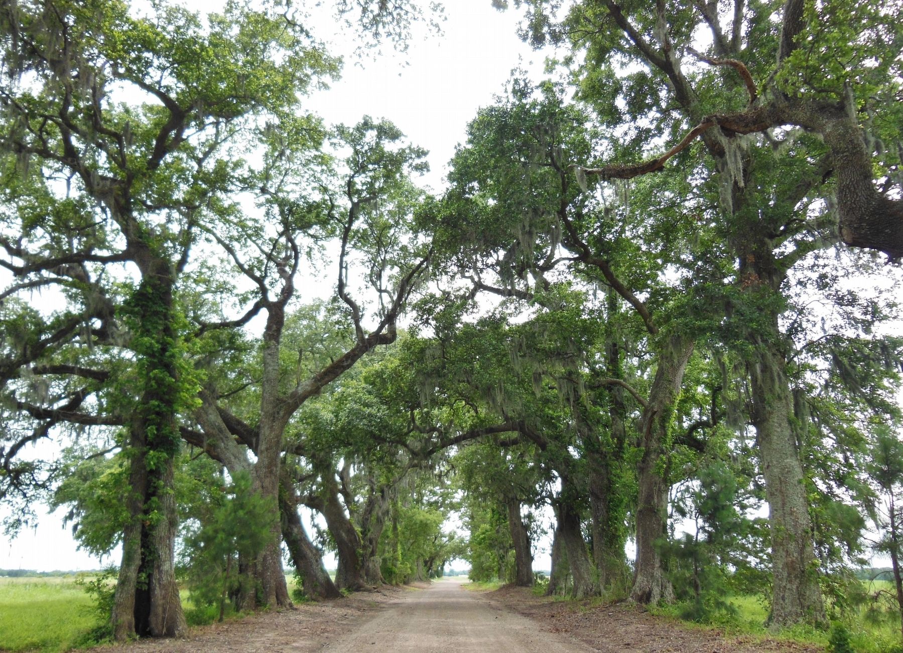
Charles Durand, Pre-Civil War sugar planter, credited with planting this alley. In legend a family wedding party rode down the alley canopied by giant spider webs dusted gold and silver. Ca 1795-99 Spanish Grant to Jacques Fontenette.
Erected 1971 by Louisiana Tourist Commission.
Topics and series. This historical marker is listed in these topic lists: Agriculture • Colonial Era • Settlements & Settlers. In addition, it is included in the Historic Trees series list. A significant historical year for this entry is 1795.
Location. 30° 8.033′ N, 91° 47.833′ W. Marker is in Saint Martinville, Louisiana, in St. Martin Parish. Marker is at the intersection of Catahoula Highway (State Highway 96) and Pine Alley Drive, on the right when traveling north on Catahoula Highway. Marker is located at entrance to the referenced "Oak and Pine Alley.". Touch for map. Marker is in this post office area: Saint Martinville LA 70582, United States of America. Touch for directions.
Other nearby markers. At least 8 other markers are within 2 miles of this marker, measured as the crow flies. Bayou Teche (approx. 1.3 miles away); Maison Olivier (approx. 1.7 miles away); Deportation Cross (approx. 2 miles away); Evangeline Oak (approx. 2 miles away); Henry Wadsworth Longfellow (approx. 2 miles away); Judge Émile Édouard (Edward) Simon (approx. 2 miles away); The Old Castillo Hotel (approx. 2 miles away); Evangeline Monument (approx. 2 miles away).
Also see . . .
1. The Cajun Bride of Oak Alley. Legacy Art Tour website entry:
Oak and Pine Alley was planted by the slaves of Charles Jerome Durand around 1829. The three-mile alley leading from the Bayou Teche to Durand’s house was a veritable landmark, leaving no doubt as to the social position of the property owner. (Submitted on March 2, 2017, by Cosmos Mariner of Cape Canaveral, Florida.)
2. Pine and Oak Alley, Newspaper Clipping, 1955.
You are invited to the wedding in a tunnel of overhanging, massive live oaks and almost ancient pines where, perhaps, the most dramatic wedding of the South was performed more than a century ago. (Submitted on March 2, 2017, by Cosmos Mariner of Cape Canaveral, Florida.)
3. Durand History and "Pine and Oak Alley".
On the banks of the Teche, on the outskirts of old Petit Paris (St. Martinville, LA), there is an alley of Pine and Oak trees planted by Monsieur Charles Durand...beneath the trees, one of the grandest weddings ever to be held in Louisiana took place. (Submitted on March 2, 2017, by Cosmos Mariner of Cape Canaveral, Florida.)
Additional commentary.
1. Name Variations
Locals call it Pine & Oak Alley, or simply Pine Alley, as does Google Maps. However, this historical marker lists it as Oak & Pine Alley.
— Submitted February 10, 2023, by Tim Westcott of Youngsville, Louisiana.
Credits. This page was last revised on May 5, 2023. It was originally submitted on March 2, 2017, by Cosmos Mariner of Cape Canaveral, Florida. This page has been viewed 1,715 times since then and 135 times this year. Photos: 1, 2, 3, 4. submitted on March 2, 2017, by Cosmos Mariner of Cape Canaveral, Florida. • Bernard Fisher was the editor who published this page.
Editor’s want-list for this marker. A wide view photo of the marker and the surrounding area in context. • Can you help?


