Near Fossil in Wheeler County, Oregon — The American West (Northwest)
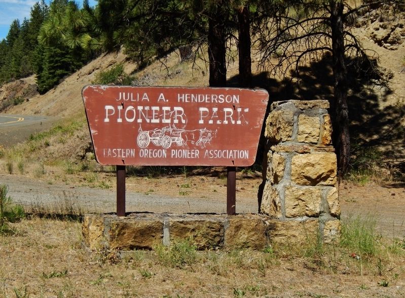
Julia Henderson Pioneer Park
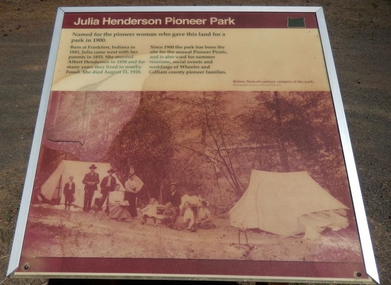
Named for the pioneer woman who gave this land for a park in 1900
Born at Frankfort, Indiana in 1841, Julia came west with her parents in 1853. She married Albert Henderson in 1858 and for many years they lived in nearby Fossil. She died August 11, 1928.
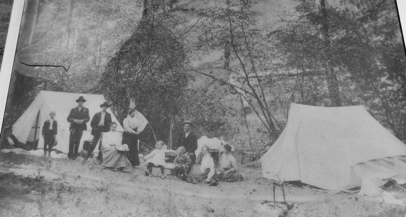
Since 1900 the park has been the site for the annual Pioneer Picnic, and is also used for summer reunions, social events and weddings of Wheeler and Gilliam county pioneer families.
Topics. This historical marker is listed in these topic lists: Parks & Recreational Areas • Women.
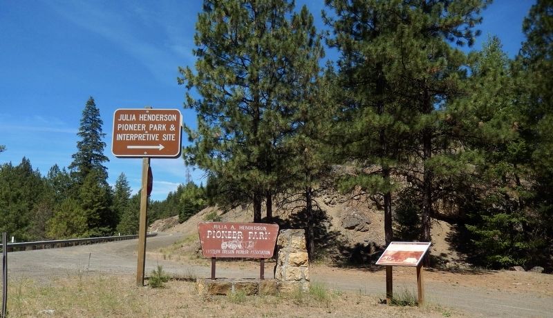
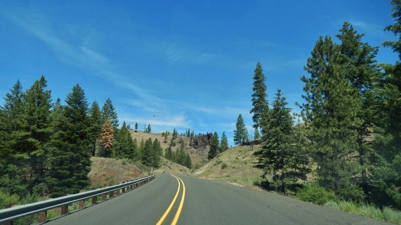
Location. 44° 53.664′ N, 120° 4.299′ W. Marker is near Fossil, Oregon, in Wheeler County. Marker is at the intersection of Oregon Route 19 and Straw Fork Road, on the right when traveling north on State Route 19. Marker is at the entrance to Julia Henderson Pioneer Park, on the east side of Oregon highway 19. The park entrance is well marked with two different park entrance signs, and the marker is adjacent to the largest of these signs. Touch for map. Marker is in this post office area: Fossil OR 97830, United States of America. Touch for directions.
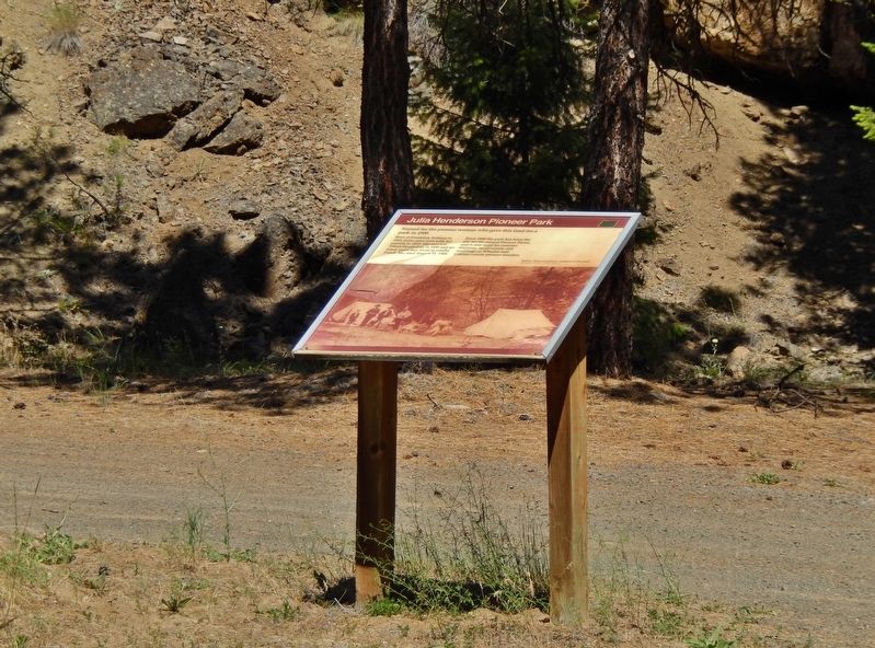
More about this marker. Marker is a bit weathered and faded, but still legible.
Also see . . .
1. John Day Fossil Beds - Settlement.
Because of its isolation, some corners of the John Day basin witnessed a period of subsistence-level settlement that lasted from the early 1860s to the turn of the century and beyond. Homesteads in the vicinity of the Monument clung to the bottomlands of the river and its tributary streams where water was available for domestic and agricultural purposes. On individual homesteads, rudimentary wood structures and corrals clustered near natural springs and native groves of black cottonwoods. The farmsteads were oriented for maximum protection from sun and winter storms. (Submitted on March 13, 2017, by Cosmos Mariner of Cape Canaveral, Florida.)
2. John Day Fossil Beds - Early Recreation.
Because isolation was a common aspect of life for settlers in the John Day basin, people were especially eager to congregate for recreational purposes. Picnics, holidays, and overnight dances occasionally brought families together from scattered ranches for camaraderie and social interaction... long-time residents gathered at a Fourth of July celebration at Kelsay's Grove outside the town of Fossil and formed the Wheeler County Pioneer Association. The organization evolved to become the Eastern Oregon Pioneer Association. In 1903, the group selected forty acres at a centrally located site on Sarvis Creek. From that time on, the traditional picnic was held at what is now known as Julia Henderson Pioneer Park. (Submitted on March 13, 2017, by Cosmos Mariner of Cape Canaveral, Florida.)
Credits. This page was last revised on April 18, 2018. It was originally submitted on March 13, 2017, by Cosmos Mariner of Cape Canaveral, Florida. This page has been viewed 837 times since then and 38 times this year. Photos: 1, 2, 3, 4, 5, 6. submitted on March 13, 2017, by Cosmos Mariner of Cape Canaveral, Florida. • Bill Pfingsten was the editor who published this page.
