Simsbury in Capitol Region, Connecticut — The American Northeast (New England)
First House and Ferry
Photographed by Alan M. Perrie, August 28, 2016
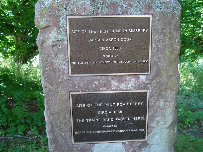
1. First House and Ferry Marker
Captain Aaron Cook
circa 1660
Site of the Pent Road Ferry
circa 1668
The Traine Band passed here
Erected 1993 by the Terry’s Plain Homeowners Association.
Topics. This historical marker is listed in these topic lists: Colonial Era • Settlements & Settlers • Waterways & Vessels. A significant historical year for this entry is 1660.
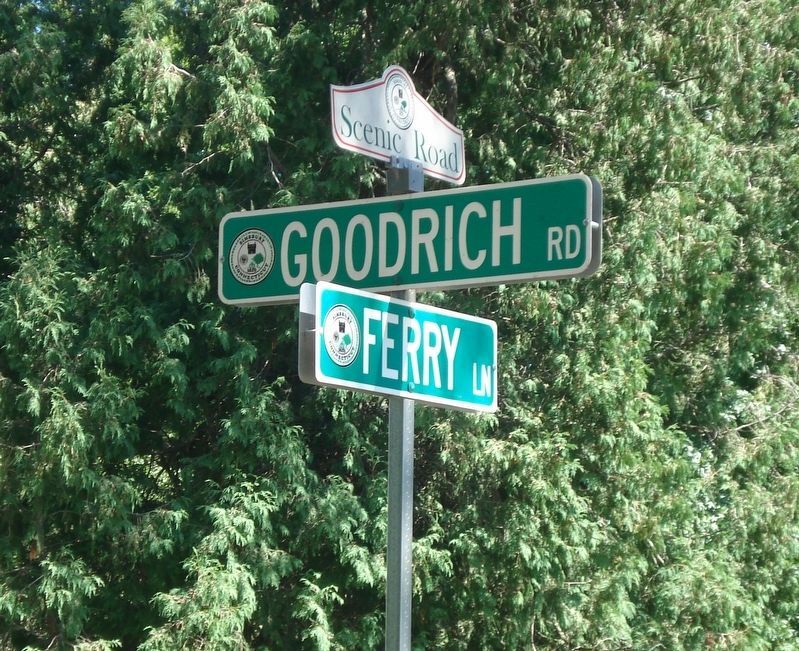
Location. 41° 53.068′ N, 72° 47.053′ W. Marker is in Simsbury in Capitol Region, Connecticut. It is at the intersection of Ferry Lane and Goodrich Road, on the left when traveling north on Ferry Lane. Touch for map. Marker is at or near this postal address: 36 Ferry Lane, Simsbury CT 06070, United States of America. Touch for directions.

Regionally, this marker is in the Connecticut River Valley, in Greater Hartford, and in the Knowledge Corridor. It is also in the American Northeast and in New England. Globally, it is in North America, the Western Hemisphere, the Western World, and the Anglosphere. Historically, it finds itself in what was once Hartford County and also one of the original Thirteen Colonies.
Other nearby markers. At
this page online
Regarding First House and Ferry.
Captain Aaron Cook built his home and developed the land around it. In 1677, he deeded the property to John Terry. This home, on the east side of the Farmington River, was the site of the first recorded Town Meeting on May 5, 1671. The meeting voted to establish the location of the future Meeting House on the west side of the river. Thomas Barber was commissioned to perform the construction for the 24 x 28 foot building at a cost of 33 pounds.
The road leading to the ferry crossing was fenced on both sides of the Farmington River so farmers could control their cattle on and off the ferry. Luke Hill served
Photographed by Alan M. Perrie, August 28, 2016
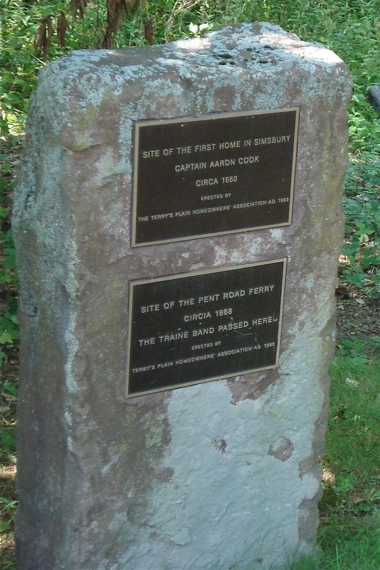
2. First House and Ferry Marker
Also see . . .
1. Terry’s Plain Historic District. (Submitted on March 18, 2017, by Alan M. Perrie of Unionville, Connecticut.)
2. Terry’s Plain Historic District. (Submitted on March 18, 2017, by Alan M. Perrie of Unionville, Connecticut.)
Photographed by Alan M. Perrie, August 28, 2016
3. The marker is at the end of Ferry Lane.
Credits. This page was last revised on May 19, 2026. It was originally submitted on March 18, 2017, by Alan M. Perrie of Unionville, Connecticut. This page has been viewed 1,219 times since then and 27 times this year. Photos: 1, 2, 3. submitted on March 18, 2017, by Alan M. Perrie of Unionville, Connecticut. • Bill Pfingsten was the editor who published this page.
