Thibodaux in Lafourche Parish, Louisiana — The American South (West South Central)
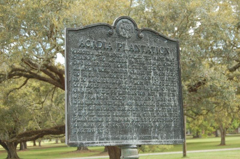
Acadia Plantation
Photographed by Cajun Scrambler, March 17, 2017
1. Acadia Plantation Marker
Erected by Lafourche Heritage Society, Inc.
Topics and series. This historical marker is listed in these topic lists: Agriculture • Settlements & Settlers • War, Texas Independence • War, US Civil. In addition, it is included in the Former U.S. Presidents: #07 Andrew Jackson series list.
Location. 29° 47.678′ N, 90° 47.859′ W. Marker is in Thibodaux, Louisiana, in Lafourche Parish. It is on East 1st. Street (State Highway 1) 0.1 miles south of Bowie Street, on the right when traveling south. Touch for map. Marker is in this post
this page online

Regionally, this marker is in one of Louisiana’s River Parishes, in Acadiana — Cajun Country, and specifically in Bayou Country. It is also in the American South, specifically in the Deep South, and on the Gulf Coast. Globally, it is in North America, a Gulf of Mexico state, the Western Hemisphere, the Western World, and the Anglosphere. Historically, it finds itself in what was once New Spain, Acadia, the territory of the Mississippian Culture, the Louisiana Purchase, one of the Confederate States of America, and the Antebellum South.
Other nearby markers. At least 8 other markers are within one mile of this marker, measured as the crow flies: City of Thibodaux / Ville de Thibodaux (approx. ¼ mile away); The St. Joseph Cemetery Calvary-Grotto Shrine (approx. ¾ mile away); Laurel Valley (approx. ¾ mile away); Our Confederate Dead (approx. ¾ mile away); St. Joseph Cemetery (approx. ¾ mile away); Historical Site of Thibodaux College (approx. 0.9 miles away); Rienzi Plantation House (approx. one mile away); Site of Mount Carmel Academy
Photographed by Cajun Scrambler, March 17, 2017
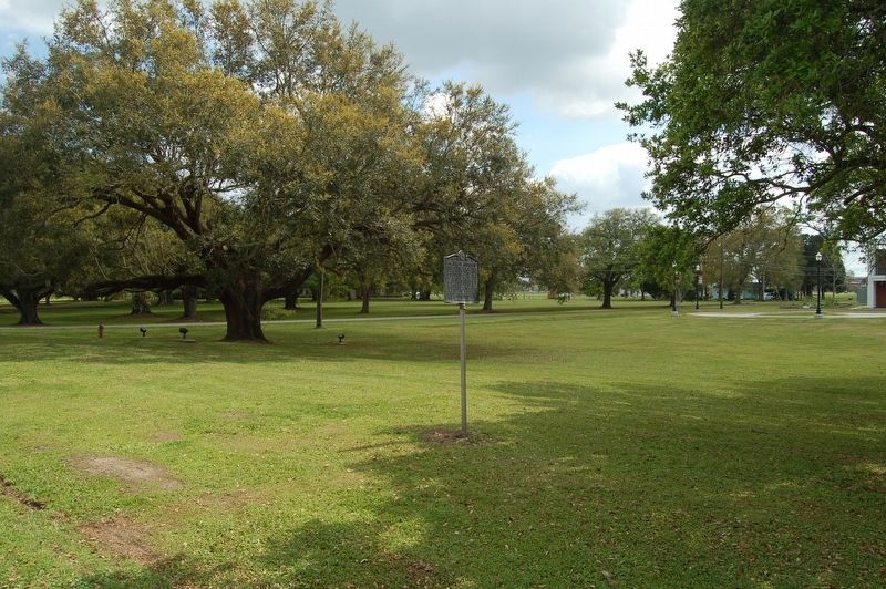
2. Acadia Plantation Marker
Regarding Acadia Plantation. Acadia Plantation was demolished and converted into a residential housing district in 2010.
Credits. This page was last revised on January 26, 2024. It was originally submitted on March 19, 2017, by Cajun Scrambler of Assumption, Louisiana. This page has been viewed 2,374 times since then and 133 times this year. Photos: 1, 2. submitted on March 19, 2017.
