The Thousand Islands
Canada's National Parks and National Historic Sites
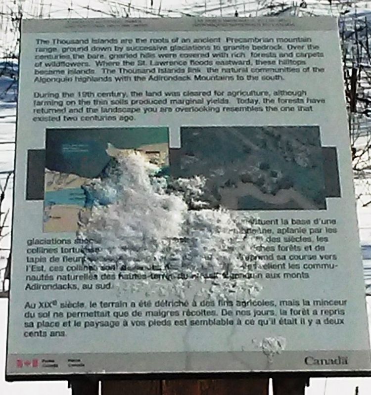
The Thousand Islands are the roots of an ancient Precambrian mountain range ground down by successive glaciations to granite bedrock. Over the centuries the bare, gnarled hills were covered with rich forests and carpets of wildflowers. Where the St. Lawrence floods eastward, these hilltops became islands. The Thousand Islands link the natural communities of the Algonquin highlands with the Adirondack Mountains to the south.
During the 19th century, the land was cleared for agriculture, although farming on the thin soils produced marginal yields. Today, the forests have returned and the landscape you are overlooking resembles the one that existed two centuries ago.
Les Millé-Îles constituent la base d'une chaîne pré-cambrienne, aplanie par les glaciations successives jusqu'au substrat de granit. Au fil des siècles, les collines tortueuses et dénudées se sont couvertes de riches forêts et de tapis de fleurs sauvages. Là où le Saint-Laurent entreprend sa course vers l'Est, ces collines sont devenues des îles. Les Mille-Îles relient les communautés naturelles des hautes-terres du massif Algonquin aux monts Adirondacks,
this page online
Au XIXe siècle, le terrain a été défriché à des fins agricoles, mais la minceur du sol ne permettait que de maigres récoltes. De nos jours, la forêt a repris sa place et le paysage à vos pieds est semblable à ce qu'il était il y a deux cents ans.
Erected by Parks Canada.
Topics. This historical marker is listed in these topic lists: Environment • Waterways & Vessels.
Location. 44° 22.098′ N, 75° 58.159′ W. Marker is in Darlingside, Ontario, in Leeds and Grenville United Counties. It is at the intersection of Thousand Islands Parkway and Darlingside Drive, on the right when traveling east on Thousand Islands Parkway. Touch for map. Marker is at or near this postal address: Roadside Pullout on Thousand Islands Parkway, Darlingside ON K0E, Canada. Touch for directions.
Regionally, this marker is in Eastern Ontario and specifically in Southeastern Ontario. It is also in Central Canada. Globally, it is in North America, the Western Hemisphere, the Western World, and the Anglosphere. Historically, it finds itself in what was once a British colony, the Viceroyalty
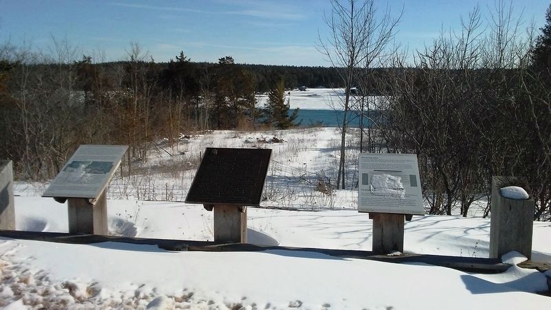
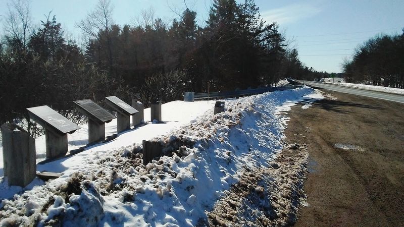
Other nearby markers. At least 8 other markers are within 5 kilometers of this marker, measured as the crow flies: Darlingside (here, next to this marker); Thousand Islands Bridge System (here, next to this marker); Thousand Islands International Bridge (approx. 1.8 kilometers away); Yacht House & Wellesley Island (approx. 4.5 kilometers away in the U.S.); Boldt Castle (approx. 4.5 kilometers away in the U.S.); Swan Pond (approx. 4.5 kilometers away in the U.S.); Alster Tower & Peristyle (approx. 4.6 kilometers away in the U.S.); Dovecote & Garden (approx. 4.6 kilometers away in the U.S.). Touch for a list and map of all markers in Darlingside.
Another marker is no longer nearby. The Darling Store / Le magasin Darling (was here, next to this marker but has been permanently removed).
Credits. This page was last revised on September 27, 2019. It was originally submitted on March 20, 2017, by William Fischer, Jr. of Reynoldsburg, Ohio. This page has been viewed 265 times since then and 13 times this year. Photos: 1, 2, 3. submitted on March 20, 2017, by William Fischer, Jr. of Reynoldsburg, Ohio.
Editor’s want-list for this marker. Better close photo of the marker • Can you help?
