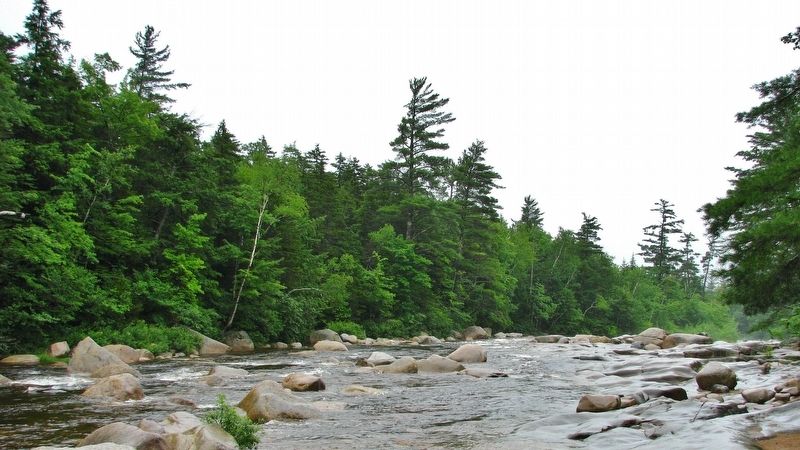
Conway in Carroll County, New Hampshire — The American Northeast (New England)
Kancamagus Highway / Who was Kancamagus?
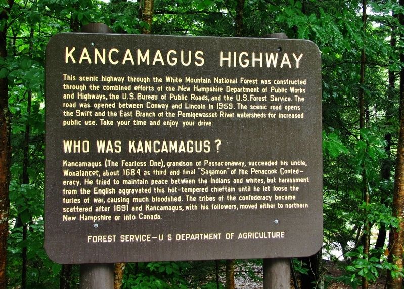
Kancamagus Highway
This scenic highway through the White Mountain National Forest was constructed through the combined efforts of the New Hampshire Department of Public Works and Highways, the U.S. Bureau of Public Roads, and the U.S. Forest Service. The road was opened between Conway and Lincoln in 1959. The scenic road opens the Swift and the East Branch of the Pemigewasset River watersheds for increased public use. Take your time and enjoy your drive.
Who Was Kancamagus?
Kancamagus (the Fearless One), grandson of Passaconaway, succeeded his uncle, Wonalancet, about 1684 as third and final “Sagamon” of the Penacook Confederacy. He tried to maintain peace between the Indians and whites, but harassment from the English aggravated this hot-tempered chieftain until he let loose the furies of war, causing much bloodshed. The tribes of the confederacy became scattered after 1691 and Kancamagus, with his followers, moved either to northern New Hampshire or into Canada.
Forest Service – U.S. Department of Agriculture
Topics. This historical marker is listed in these topic lists: Native Americans • Roads & Vehicles • Wars, US Indian. A significant historical year for this entry is 1959.
Location. 43° 59.443′ N, 71° 10.754′ W. Marker is near Conway, New Hampshire, in Carroll County. Marker is on New Hampshire Route 112, 0.3 miles west of Moat View Drive, on the right when traveling west. Marker is located in large pullout on the north side of Highway 112. Touch for map. Marker is in this post office area: Conway NH 03818, United States of America. Touch for directions.
Other nearby markers. At least 8 other markers are within 5 miles of this marker, measured as the crow flies. Swift River Covered Bridge (approx. 3 miles away); How the Covered Bridge was Built (approx. 3.2 miles away); Cart Roads and Wagon Paths Connect a Community (approx. 3.3 miles away); Ball Signal (approx. 4.9 miles away); Roundhouse (approx. 4.9 miles away); The Railroad Station (approx. 4.9 miles away); Water Standpipe (approx. 4.9 miles away); Crossing Gate (approx. 4.9 miles away).
Also see . . .
1. History of the Kancamagus Highway in New Hampshire.
The Kancamagus Highway is rich in history that dates back to the Indian Tribes of the 1600s. The Kancamagus Highway started as two small town roads. One in Lincoln, NH and the other in Passaconaway. (Submitted on March 22, 2017, by Cosmos Mariner of Cape Canaveral, Florida.)
2. Kancamagus.
The highway is named after Kancamagus (The Fearless One) a Native American who ruled the Sagamon people. In 1691 he made the decision to move his people to northern New Hampshire due to fighting with English Settlers. The mountains along the Kancamagus are named after some of the most ruthless residents of the time such as Kancamagus, Passaconaway, Wonalancet, Paugus and Chocorua. Surrounding towns also take the name of some of these mountains. (Submitted on March 22, 2017, by Cosmos Mariner of Cape Canaveral, Florida.)
Credits. This page was last revised on February 16, 2023. It was originally submitted on March 22, 2017, by Cosmos Mariner of Cape Canaveral, Florida. This page has been viewed 633 times since then and 39 times this year. Photos: 1, 2, 3, 4, 5. submitted on March 22, 2017, by Cosmos Mariner of Cape Canaveral, Florida. • Bill Pfingsten was the editor who published this page.
