Pascagoula in Jackson County, Mississippi — The American South (East South Central)
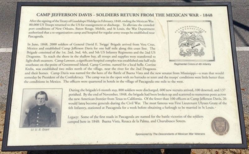
Camp Jefferson Davis - Soldiers Return From The Mexican War - 1848
Inscription.
After the signing of the Treaty of Guadalupe Hidalgo in February, 1848, ending the Mexican War, 80,000 US Troops returned to the US for reassignment or discharge. To alleviate the crowded port conditions of New Orleans, Baton Rouge, Mobile, and St. Louis, the War Department authorized that a re-organization camp and hospital for regular army troops be established near Pascagoula.
In June, 1848, 2000 soldiers of General David E. Twiggs Brigade arrived from Vera Cruz, Mexico and established Camp Jefferson Davis for one half mile along this coast line. The Brigade consisted of the 1st, 2nd, 3rd, 4th, and 5th US Infantry Regiments and the 2nd US Dragoons. To reach the shore in the shallow bay, all troops and supplies were transferred to light draft steamers. Camp Lawson, a significant hospital complex was established one half mile southeast on the point of Greenwood Island. Camp Corrine, named for a local belle, Corrine Krebs, was established two miles north of the village, near the river for the 2nd Dragoons and their horses. Camp Davis was named for the hero of the Battle of Buena Vista and the new senator from Mississippi a man that would someday be President of the Confederacy. The camp was in the open with no barracks or tents and the troops conditions were little better than the conditions in Mexico. The officers were quartered in hotels in the village of Pascagoula one mile to the west.
During the brigades 6 month stay, 800 soldiers were discharged, 600 new recruits arrived, 100 deserted, and 137 perished. By the end of November, 1848, the brigade had been broken up and scattered to numerous posts across the new American frontier from Texas to California. Of the fewer than 100 officers at Camp Jefferson Davis, 26 would later become generals during the Civil War. The most famous was First Lieutenant Ulysses Grant of the 4th Infantry, stationed at Pascagoula for a week before obtaining a furlough to be married in St Louis.
Legacy: Some of the first roads in Pascagoula are named for the battle victories of the soldiers camped here in 1848: Buena Vista, Resaca de la Palma, and Churubusco Streets.
[Photo Captions]
Left bottom: Lt. U. S. Grant
Right top: Regimental Colors of 4th Infantry
Erected 2012 by the Jackson County Historical and Genealogical Society & the Descendants of Mexican War Veterans.
Topics and series. This historical marker is listed in these topic lists: Roads & Vehicles • Science & Medicine • War, Mexican-American. In addition, it is included in the Former U.S. Presidents: #18 Ulysses S. Grant series list. A significant historical month for this entry is February 1848.
Location. 30°
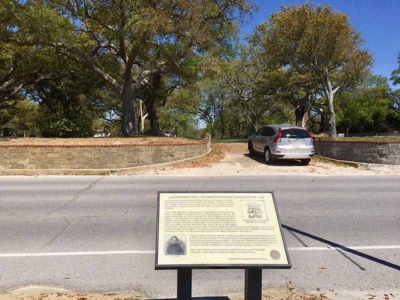
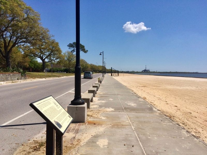
20.595′ N, 88° 31.969′ W. Marker is in Pascagoula, Mississippi, in Jackson County. Marker is on Beach Boulevard east of City Park Street, on the right when traveling east. Located along the Pascagoula Promenade. Touch for map. Marker is at or near this postal address: Beach Boulevard, Pascagoula MS 39567, United States of America. Touch for directions.
Other nearby markers. At least 8 other markers are within one mile of this marker, measured as the crow flies. President Zachary Taylor's Summer Home Site (about 500 feet away, measured in a direct line); Camp Jefferson Davis (about 600 feet away); Louisiana Native Guard Attacks Pascagoula (about 700 feet away); Camp Twiggs and the Military Asylum 1849-1855 (approx. 0.2 miles away); Camp Lawson – Military Hospital on Greenwood Island – 1848 (approx. 0.2 miles away); The Longfellow House (approx. 0.3 miles away); Clark House (approx. 0.9 miles away); St. Peter Missionary Baptist Church (approx. 1.1 miles away). Touch for a list and map of all markers in Pascagoula.
Also see . . . Fortwiki - Camp Jefferson Davis. (Submitted on March 26, 2017, by Mark Hilton of Montgomery, Alabama.)
Credits. This page was last revised on March 28, 2017. It was originally submitted on March 26, 2017, by Mark Hilton of Montgomery, Alabama. This page has been viewed 797 times since then and 220 times this year. Photos: 1, 2, 3, 4. submitted on March 26, 2017, by Mark Hilton of Montgomery, Alabama.


