Portland in Sumner County, Tennessee — The American South (East South Central)
Tennessee / Kentucky
Established 1796 named in honor of Major Gen. Jethro Sumner. Officer in French and Indian War. Served in defense of Charleston, 1776; in the Battles of Brandywine and Germantown; and in the Army at Valley Forge. His last service was in the defense of North Carolina against Cornwallis.
An Iroquois word meaning Meadow Land. It was visited by Indian tribes from as far west as the Rocky Mountains before 1750. The first white settlement was at Harrodsburg in 1774. Kentucky was the second district west of the Alleghenies to be settled and the first (1792) to become a state.
Erected by Tennessee Historical Commission. (Marker Number 3B 19.)
Topics and series. This historical marker is listed in these topic lists: Native Americans • Settlements & Settlers • War, French and Indian • War, US Revolutionary. In addition, it is included in the Tennessee Historical Commission series list. A significant historical year for this entry is 1796.
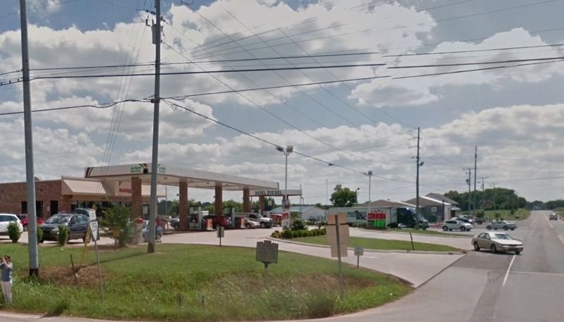
Location. Marker is missing. It was located near 36° 38.009′ N, 86° 33.827′ W. Marker was in Portland, Tennessee, in Sumner County. Marker was at the intersection of Nashville Road (U.S. 31W) and Rodgers Road (Route 259), on the right when traveling north on Nashville Road. Touch for map. Marker was at or near this postal address: 6110 US-31W, Portland TN 37148, United States of America. Touch for directions.
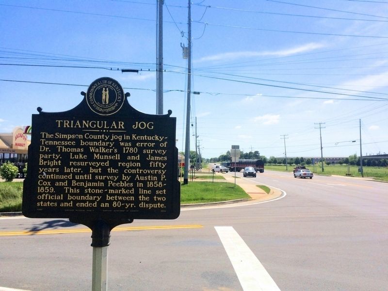
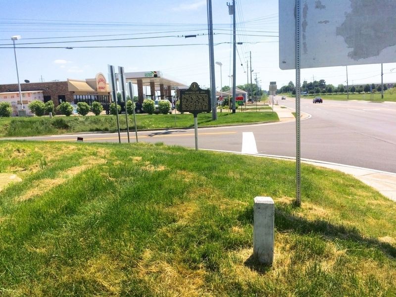
Other nearby markers. At least 8 other markers are within 2 miles of this location, measured as the crow flies. Triangular Jog (a few steps from this marker in Kentucky); AmVets Memorial (approx. 0.6 miles away); Civil War in Tennessee (approx. 0.6 miles away); Replica of Stone #38 (approx. ¾ mile away in Kentucky); Oklahoma City Bombing Memorial (approx. ¾ mile away in Kentucky); Duval-Groves House (approx. 1.1 miles away); Sandford Duncan Inn / Noted Dueling Ground (approx. 1.4 miles away in Kentucky); Camp Trousdale (approx. 1½ miles away). Touch for a list and map of all markers in Portland.
Credits. This page was last revised on June 24, 2020. It was originally submitted on March 27, 2017, by Mark Hilton of Montgomery, Alabama. This page has been viewed 258 times since then and 17 times this year. Photos: 1, 2, 3, 4. submitted on March 27, 2017, by Mark Hilton of Montgomery, Alabama.
Editor’s want-list for this marker. Photos of both sides of marker. • Can you help?


