Collinsville in Canton in Hartford County, Connecticut — The American Northeast (New England)
Collinsville, Town of Canton
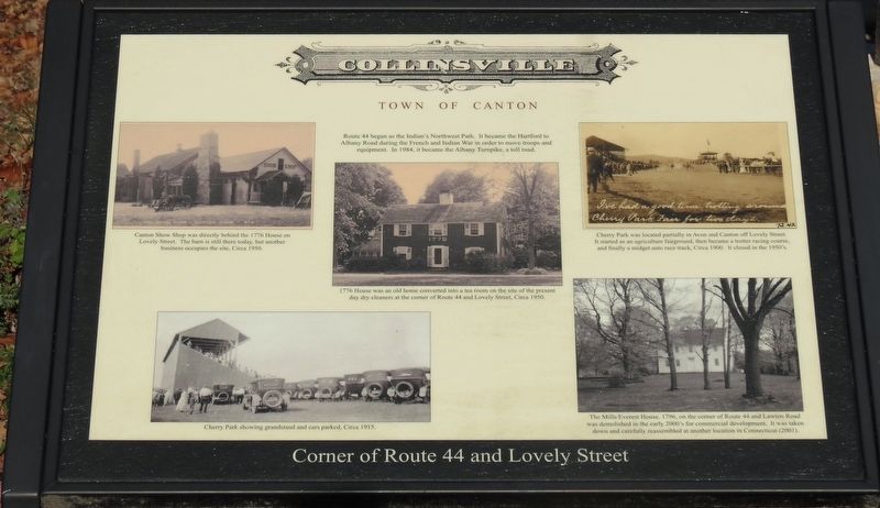
Corner of Route 44 and Lovely Street.
a toll road.
1776 House was an old home converted into a tea room on the site of the present day dry cleaners at the corner of route 44 and Lovely Street,
circa 1950.
Cherry Park was located partially in Avon and Canton off Lovely Street. It started as an agricultural fairground, then became a trotter racing course, and finally a midget auto race track, circa 1900. It closed in the 1950ís.
The Mills/Everest House, 1796, on the corner of Route 44 and Lawton Road was demolished in the early 2000ís for commercial development. It was taken down and carefully reassembled at another location in Connecticut (2001).
Cherry Park showing grandstand and cars parked, circa 1915.
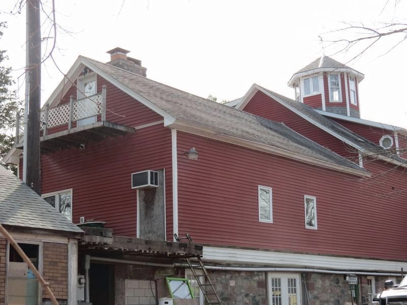
Canton Show Shop was directly behind the 1776 House on Lovely Street. The barn is still there today, but another business occupies the site, circa 1950.
Topics. This historical marker is listed in these topic lists: Colonial Era • Roads & Vehicles • Sports. A significant historical year for this entry is 1984.
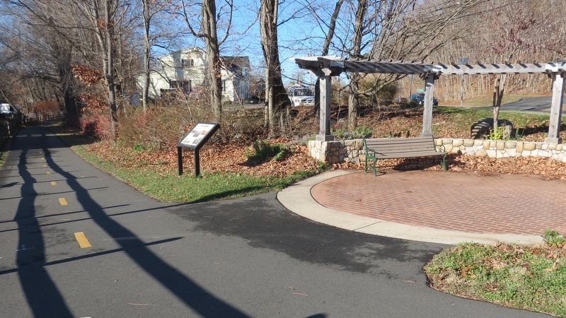
Location. 41° 49.417′ N, 72° 53.317′ W. Marker is in Canton, Connecticut, in Hartford County. It is in Collinsville. Marker is on Lovely Street, on the left when traveling north. The marker is located on the Farmington River Trail, 0.1 mile west from the stoplight at the junction of the Albany Turnpike and Lovely Street. Touch for map. Marker is at or near this postal address: 1 Lovely Street, Canton CT 06019, United States of America. Touch for directions.
Other nearby markers. At least 8 other markers are within 2 miles of this marker, measured as the crow flies. Canton (approx. 0.3 miles away); a different marker also named Collinsville, Town of Canton (approx. 0.4 miles away); In Memory of Phoebe Humphrey (approx. 0.9 miles away); Constitution Oak (approx. 1.2 miles away); a different marker also named Collinsville, Town of Canton (approx. 1Ĺ miles away); a different marker also named Collinsville, Town of Canton (approx. 1.7 miles away); Canton Veterans Memorial (approx. 1.9 miles away); Canton Soldiers Memorial (approx. 2 miles away). Touch for a list and map of all markers in Canton.
Regarding Collinsville, Town of Canton. The 1984 date for the start of the Albany Turnpike is a typographical error.† †In 1798, a turnpike was chartered that connected Albany, New York to Avon, Connecticut. † Avon had the Talcott Mountain Turnpike†that went east over Talcott Mountain to Hartford. †This heavily traveled road that passed through†Canton, connected the 2 state capitals. †The Albany
Turnpike earned an 11% profit for 4 decades. † The last toll booth for any privately owned turnpike in Connecticut was removed in 1897.
Also see . . .
1. Town of Canton. (Submitted on April 1, 2017, by Alan M. Perrie of Unionville, Connecticut.)
2. Early turnpikes in Connecticut. (Submitted on April 1, 2017, by Alan M. Perrie of Unionville, Connecticut.)
3. History of Albany, NY. (Submitted on April 1, 2017, by Alan M. Perrie of Unionville, Connecticut.)
Credits. This page was last revised on February 10, 2023. It was originally submitted on April 1, 2017, by Alan M. Perrie of Unionville, Connecticut. This page has been viewed 411 times since then and 35 times this year. Photos: 1, 2, 3. submitted on April 1, 2017, by Alan M. Perrie of Unionville, Connecticut. • Bill Pfingsten was the editor who published this page.


