Broadview in Seattle in King County, Washington — The American West (Northwest)
Carkeek Park
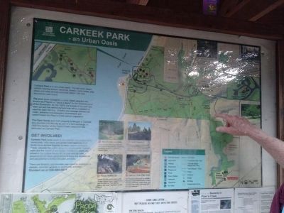
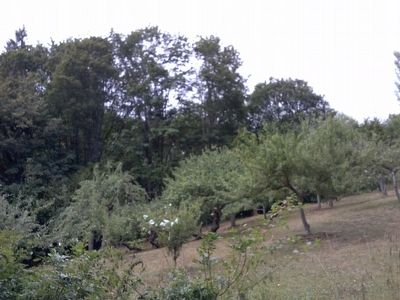
The land once occupied by early Salish peoples was known as K'aalab or "leave it alone" by the Shilshole band of the Duwamish. By the 1920s, the forests of the park had been cut and the remaining land was left as meadows or used for dairy farming. Erosion and sewage polluted the creek, sickened homesteaders downstream and exterminated the Piper's Creek salmon population.
The Piper family sold their property to Morgan J. Carkeek who donated it to the city as part of a land exchange. In 1929, this section of the Piper's Creek watershed was dedicated as Carkeek Park.
Erected by Seattle Parks and Recreation.
Topics. This historical marker is listed in these topic lists: Environment • Horticulture & Forestry • Native Americans. A significant historical year for this entry is 1929.
Location. 47° 42.697′ N, 122° 22.33′ W. Marker is in Seattle, Washington, in King County. It is in Broadview. Enter the park at the Eddie McAbee Entrance on NW 100th Place, near 6th Ave NW. Touch for map. Marker is at or near this postal address: 950 NW Carkeek Park Rd, Seattle WA 98117, United States of America. Touch for directions.
Other nearby markers. At least 8 other markers are within 3 miles of this marker, measured as the crow flies. Emil Fredreksen Memorial (approx. 1.6 miles away); Mural at Bergen Place (approx. 3.1 miles away); Halverson's Dry Goods (approx. 3.1 miles away); Enquist Block (approx. 3.1 miles away); Princess Hotel (approx. 3.1 miles away); Eagle Building (approx. 3.1 miles away); The Ballard Avenue Landmark District Historic Marker Project (approx. 3.1 miles away); Ballard Avenue Historic District / Ballard City Hall Bell (approx. 3.1 miles away). Touch for a list and map of all markers in Seattle.
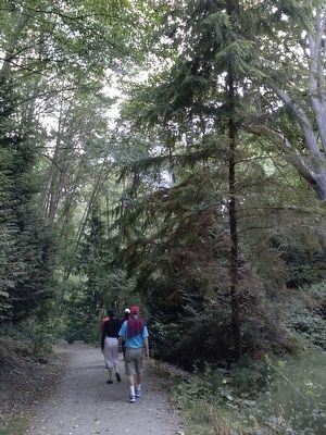
Regarding Carkeek Park. Carkeek Park is a 216 acre park in northwest Seattle, adjacent to the Broadview neighborhood, offering hiking trails, play and picnic areas, and a pedestrian bridge that leads over the BNSF Railway tracks to a sand beach on Puget Sound. Pipers Orchard, with fruit and nut trees, and Pipers Creek, an urban stream that empties into the Sound, have both been restored here after years of hard work by neighbors, volunteers and city workers. (Excerpted from www.seattle.gov/tour/carkeek.htm)
Also see . . . Carkeep Park. Washington Trails Association website (Submitted on July 31, 2015, by Marsha A. Matson of Palmetto Bay, Florida.)
Photographed By Marsha A. Matson, July 25, 2015
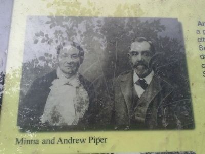
6. Minna and Andrew Piper
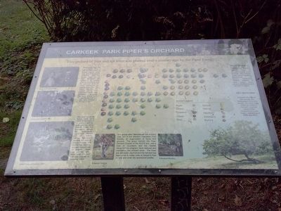
Andrew W. Piper was a professional baker, a city council member, a Seattle mayoral candidate, and a newspaper cartoonist. After the Seattle Great Fire of 1889 destroyed his bakery, A.W. moved with his wife Minna and his extended family to cabins abandoned by loggers on this site. The Pipers planted this orchard along with extensive vegetable and flower gardens. The heirs of A.W. sold the land to the Carkeek family, who donated it to the city in 1927.
Photographed By Marsha A. Matson, July 25, 2015
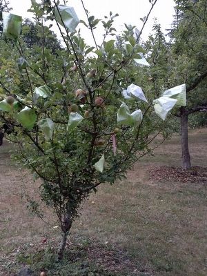
7. Orchard tree
The land remained fallow until early 1983, when a group of orchard enthusiasts walking along Piper's Creek trail discovered among the overgrowth, apple trees planted in an orderly fashion. Volunteers cleared the area of alders, maples, and blackberry bushes, pruned the surviving 32 original trees and planted additional fruit and nut varieties popular in the early 1900s.
Photographed By Marsha A. Matson, July 25, 2015
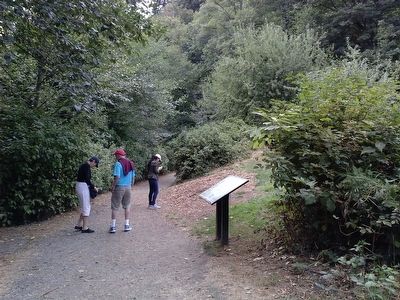
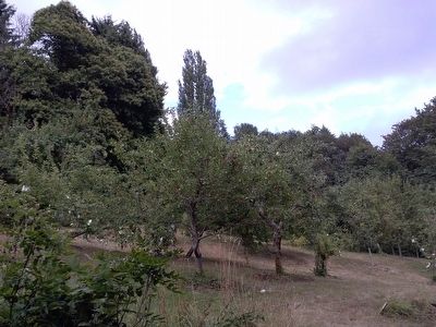
8. View of orchard
Most of the trees are varieties of apples not available now, including Wealthy, King of Tompkins County, Dutch Mignone, Red Astrican, Rhode Island Greening, Beitigheimer, and Esopus Spitzenberg. Several varieties of pear, quince, filbert, hickory, and walnut trees can also be found.
Credits. This page was last revised on February 7, 2023. It was originally submitted on July 31, 2015, by Marsha A. Matson of Palmetto Bay, Florida. This page has been viewed 711 times since then and 44 times this year. Last updated on April 5, 2017, by Rob Ketcherside of Seattle, Washington. Photos: 1, 2, 3, 4, 5, 6, 7, 8. submitted on July 31, 2015, by Marsha A. Matson of Palmetto Bay, Florida. • Bill Pfingsten was the editor who published this page.
