Starkville in Oktibbeha County, Mississippi — The American South (East South Central)
Grierson's Raid
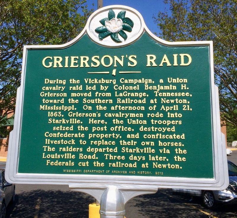
Photographed by Mark Hilton, April 9, 2017
1. Grierson's Raid Marker
Erected 2013 by the Mississippi Department of Archives and History.
Topics and series. This historical marker is listed in these topic lists: Railroads & Streetcars • Roads & Vehicles • War, US Civil. In addition, it is included in the Mississippi State Historical Marker Program series list. A significant historical date for this entry is April 21, 1863.
Location. 33° 27.254′ N, 88° 49.309′ W. Marker is in Starkville, Mississippi, in Oktibbeha County. It is at the intersection of Louisville Street and Route 12, on the right when traveling north on Louisville Street. Touch for map. Marker is at or near this postal address:
this page online

Regionally, this marker is in East Mississippi, in the Black Prairie, and in the Golden Triangle. It is also in the American South, specifically in the Deep South, and in the Black Belt. Globally, it is in North America, a Gulf of Mexico state, the Western Hemisphere, the Western World, and the Anglosphere. Historically, it finds itself in what was once the territory of the Mississippian Culture, one of the Confederate States of America, and the Antebellum South.
Other nearby markers. At least 8 other markers are within walking distance of this marker: W.H. "Corn Club" Smith (about 600 feet away, measured in a direct line); Louisville Street Cemetery (approx. 0.4 miles away); Greensboro Street Historic District (approx. half a mile away); Overstreet School District (approx. 0.6 miles away); Hic A Sha Ba Ha Spring (approx. 0.6 miles away); First Baptist Church (approx. 0.7 miles away); Significant Events in African-American History in Oktibbeha County (approx. ¾ mile away); Odd Fellows Cemetery (approx. 0.8 miles away). Touch for a list and map
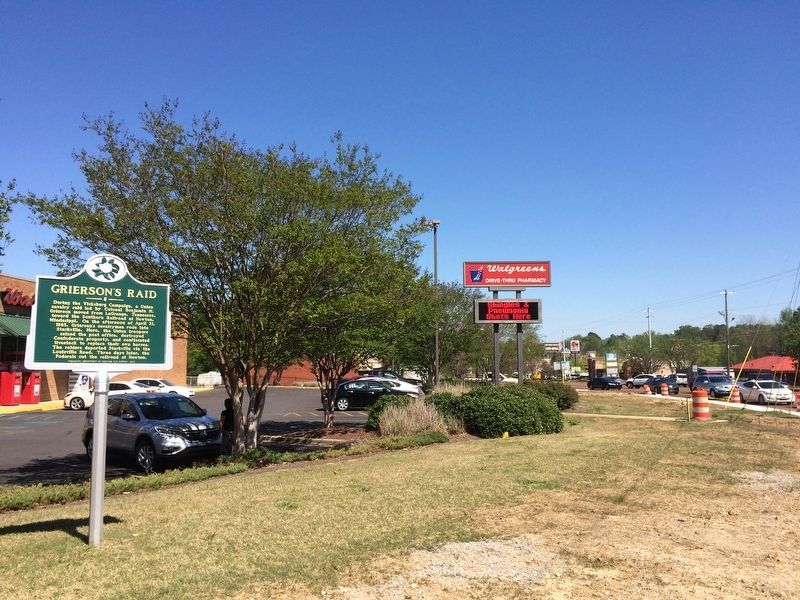
Photographed by Mark Hilton, April 9, 2017
2. View of marker looking east on Mississippi Highway 12.
Related marker. Click here for another marker that is related to this marker.
Also see . . .
1. Wikipedia article on Grierson's Raid. (Submitted on April 9, 2017, by Mark Hilton of Montgomery, Alabama.)
2. History.net article: Colonel Benjamin Grierson’s Cavalry Raid in 1863. (Submitted on April 9, 2017, by Mark Hilton of Montgomery, Alabama.)
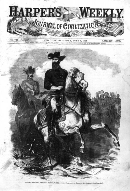
Public Domain, June 6, 1863
3. Colonel Benjamin Grierson leading his 6th Illinois Cavalry.
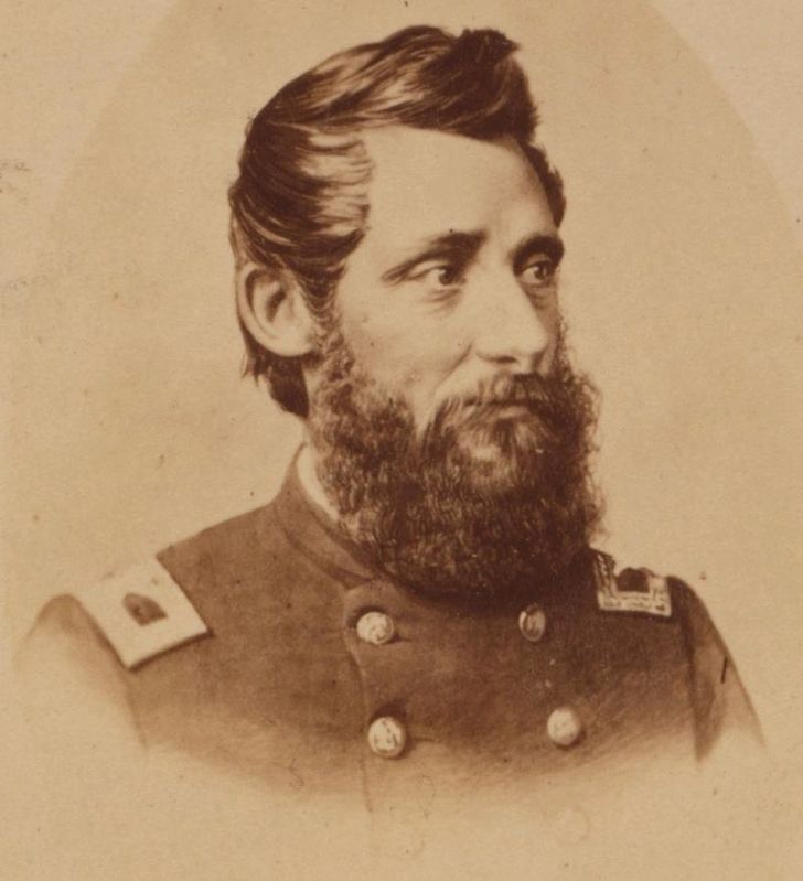
Public Domain PD-US
4. Major General Benjamin Henry Grierson.
Credits. This page was last revised on April 9, 2017. It was originally submitted on April 9, 2017, by Mark Hilton of Montgomery, Alabama. This page has been viewed 1,010 times since then and 60 times this year. Photos: 1, 2, 3, 4. submitted on April 9, 2017, by Mark Hilton of Montgomery, Alabama.
