Amory in Monroe County, Mississippi — The American South (East South Central)
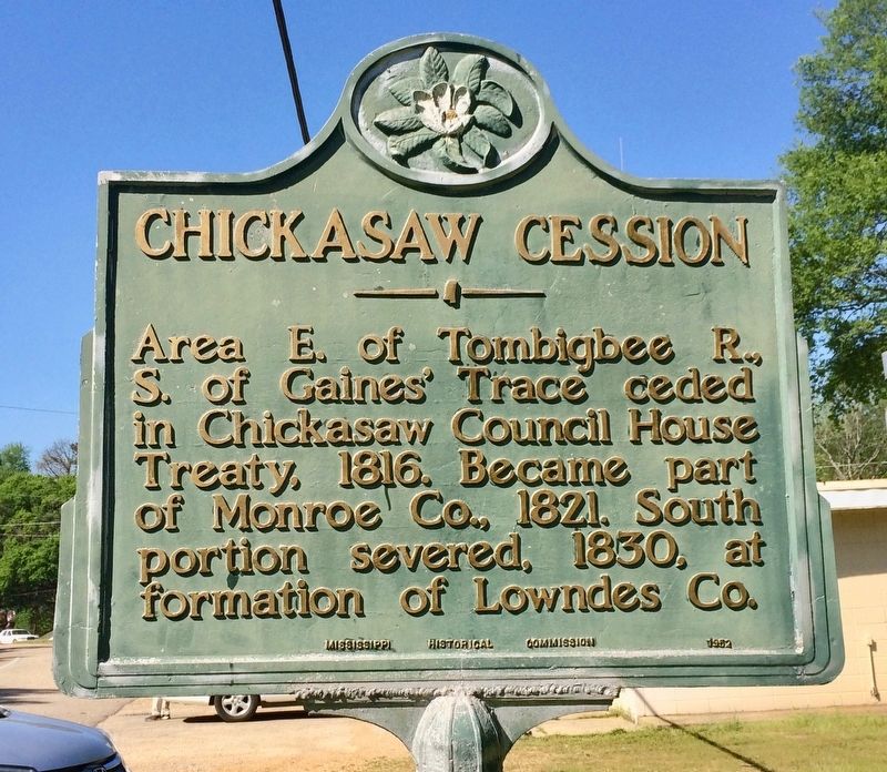
Chickasaw Cession
Erected 1952 by the Mississippi Historical Commission.
Topics and series. This historical marker is listed in these topic lists: Native Americans • Political Subdivisions • Waterways & Vessels. In addition, it is included in the Mississippi State Historical Marker Program series list. A significant historical year for this entry is 1816.
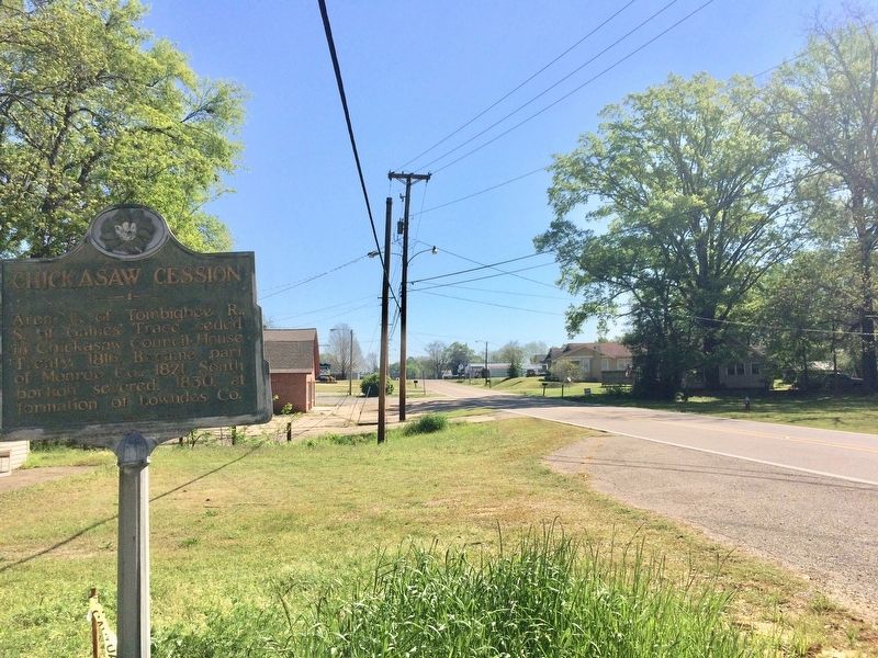
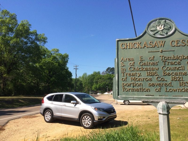
Location. 34° 0.009′ N, 88° 29.355′ W. Marker is in Amory, Mississippi, in Monroe County. Marker is at the intersection of Highland Drive (Mississippi Route 25) and Meadowbrook Circle, on the right when traveling south on Highland Drive. Touch for map. Marker is at or near this postal address: 1303 Highland Drive, Amory MS 38821, United States of America. Touch for directions.
Other nearby markers. At least 8 other markers are within 5 miles of this marker, measured as the crow flies. Amory, Mississippi: Blues from a Railroad Town (approx. 0.8 miles away); Amory's Tribute to the Heroes of 1861—1865 (approx. one mile away); Gilmore Sanitarium (approx. 1.6 miles away); Becker Post Office (approx. 1.6 miles away); Mound Cemetery (approx. 2.3 miles away); Cotton Gin Port (approx. 2.7 miles away); Bienville's Fort (approx. 3.8 miles away); New Hope Church (approx. 4.3 miles away). Touch for a list and map of all markers in Amory.
Also see . . . Chickasaws: The Unconquerable People. (Submitted on April 10, 2017, by Mark Hilton of Montgomery, Alabama.)
Credits. This page was last revised on April 10, 2017. It was originally submitted on April 10, 2017, by Mark Hilton of Montgomery, Alabama. This page has been viewed 439 times since then and 21 times this year. Photos: 1, 2, 3. submitted on April 10, 2017, by Mark Hilton of Montgomery, Alabama.


