Amory in Monroe County, Mississippi — The American South (East South Central)
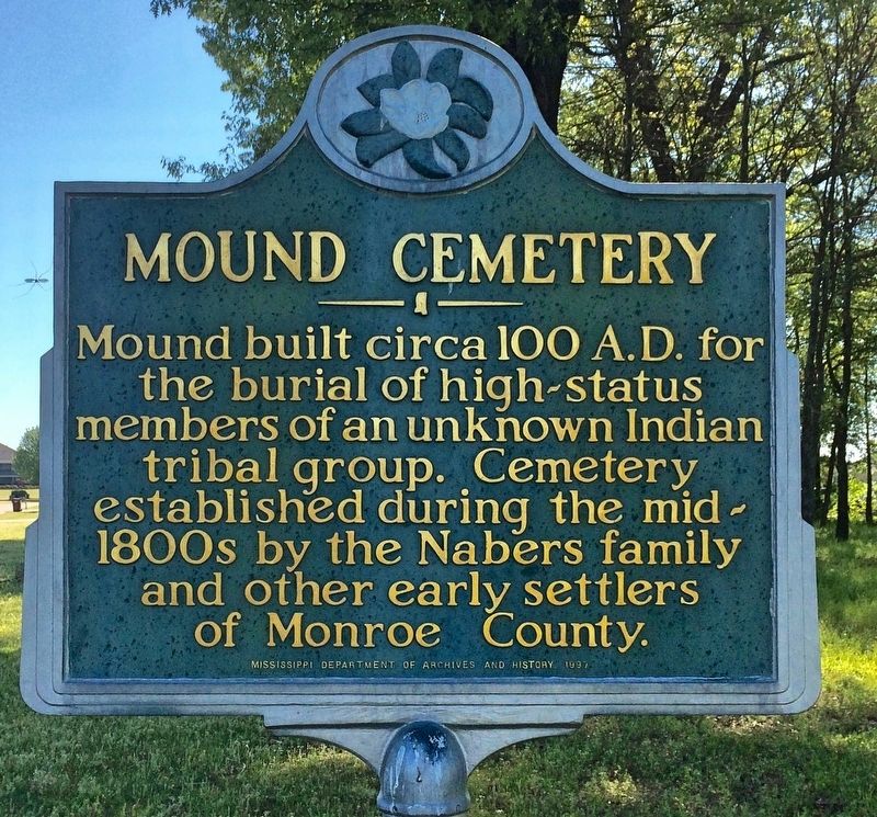
Mound Cemetery
Photographed by Mark Hilton, April 9, 2017
1. Mound Cemetery Marker
Erected 1997 by the Mississippi Department of Archives and History.
Topics and series. This historical marker is listed in these topic lists: Cemeteries & Burial Sites • Indigenous Peoples and Communities • Settlements & Settlers. In addition, it is included in the Mississippi State Historical Marker Program series list.
Location. 33° 58.216′ N, 88° 30.431′ W. Marker is in Amory, Mississippi, in Monroe County. It is on Chickasaw Drive 0.1 miles west of Fairways Drive. Located at the Ackia Golf Club course. Touch for map. Marker is at or near this postal address: 60076 Chickasaw Drive, Amory MS 38821, United States of America. Touch for directions.

Regionally, this marker is in East Mississippi, specifically in the Black Prairie, in the Golden Triangle, and in the North Mississippi Hills. It is also in the American South, specifically in the Deep South,
this page online
Other nearby markers. At least 8 other markers are within 5 miles of this marker, measured as the crow flies: Amory's Tribute to the Heroes of 1861—1865 (approx. 1½ miles away); Becker Post Office (approx. 1½ miles away); Amory, Mississippi: Blues from a Railroad Town (approx. 1½ miles away); Gilmore Sanitarium (approx. 1½ miles away); Cotton Gin Port (approx. 1.7 miles away); Chickasaw Cession (approx. 2.3 miles away); Bienville's Fort (approx. 2.8 miles away); New Hope Church (approx. 5.1 miles away). Touch for a list and map of all markers in Amory.
Photographed by Mark Hilton, April 9, 2017
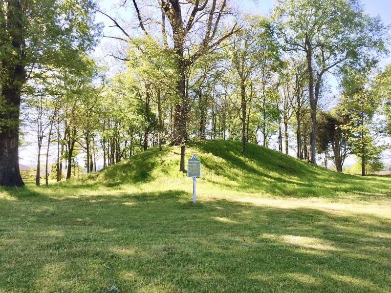
2. View of marker and Indian Mound in background.
Photographed by Mark Hilton, April 9, 2017
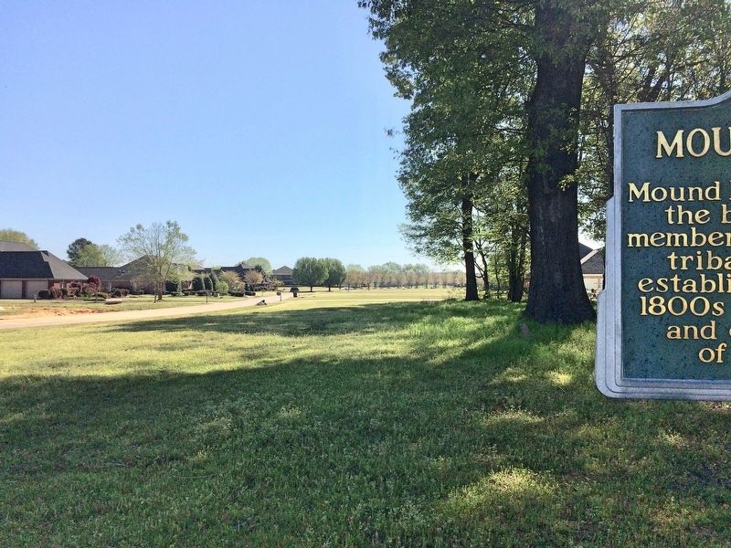
3. View east on Chickasaw Drive.
Credits. This page was last revised on April 10, 2017. It was originally submitted on April 10, 2017, by Mark Hilton of Montgomery, Alabama. This page has been viewed 1,585 times since then and 92 times this year. Photos: 1, 2, 3. submitted on April 10, 2017, by Mark Hilton of Montgomery, Alabama.
