Lower Gwynns Falls Park in Baltimore, Maryland — The American Northeast (Mid-Atlantic)
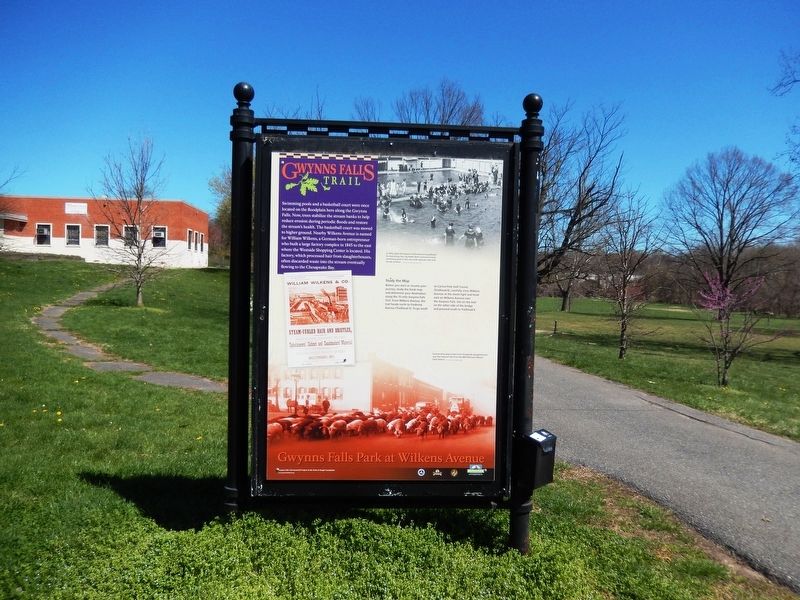
Gwynns Falls Park at Wilkens Avenue
Gwynns Falls Trail
Photographed by Don Morfe, April 8, 2017
1. Gwynns Falls Park at Wilkens Avenue Marker
Swimming pools and a basketball court were once located on the floodplain here along the Gwynns Falls. Now, trees stabilize the stream banks to help reduce erosion during periodic floods and restore the stream’s health. The basketball court was moved to higher ground. Nearby Wilkens Avenue is named for William Wilkens, a German-born entrepreneur who build a large factory complex in 1845 to the east where the Westside Shopping Center is located. His factory, which processed hair from slaughterhouses, often discarded waste into the stream eventually flowing to the Chesapeake Bay.
Study the Map
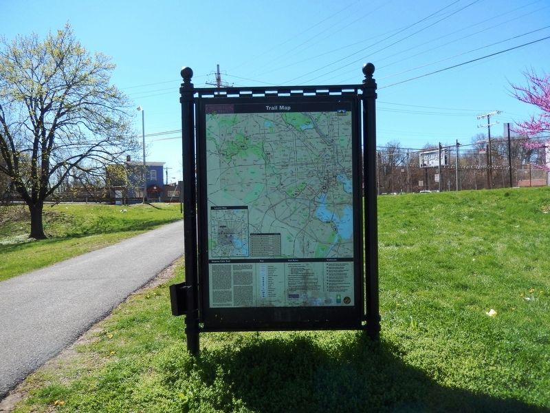
Before you start or resume your journey, study the kiosk map and determine your destination along the 15-mile Gwynns Falls Trail. From Wilkens Avenue, the trail heads north to Frederick Avenue (Trailhead 5). To go south to Carroll Park Golf Course (Trailhead 6), carefully cross Wilkens Avenue to the street light and head east on Wilkens Avenue over the Gwynns Falls. Get on the trail on the other side of the bridge and proceed south to Trailhead 6.
(Inscription under the image in the upper right)
In 1910, when Gwynn Falls became
this page online
(Inscription above the image in the lower right)
Farmers drive pigs to the Union Stockyards slaughterhouse near the Gwynns Falls from the B & O Railroad’s Mount Clare Station.
Topics. This historical marker is listed in these topic lists: Environment • Industry & Commerce • Waterways & Vessels. A significant historical year for this entry is 1845.
Location. 39° 16.63′ N, 76° 39.752′ W. Marker is in Baltimore, Maryland. It is in Lower Gwynns Falls Park. It is on Wilkens Avenue just east of Hurley Avenue. The marker is located in Lower Gwynns Falls Park. Touch for map. Marker is at or near this postal address: 2806 Wilkens Ave, Baltimore MD 21223, United States of America. Touch for directions.

Regionally, this marker is in Central Maryland. It is also in the American Mid-Atlantic, in the Chesapeake Bay Region, and on the Eastern Seaboard. Globally, it is in the North Atlantic Region, North America, the Western Hemisphere, the Western World, and the Anglosphere. Historically, it finds
Photographed by Don Morfe, April 8, 2017
2. Gwynns Falls Park at Wilkens Avenue Marker-Reverse side
Other nearby markers. At least 8 other markers are within walking distance of this marker: Early Industries (within shouting distance of this marker); World War II Memorial (within shouting distance of this marker); Mt. Olivet Cemetery (approx. 0.2 miles away); Rowhouses: a Baltimore Tradition (approx. 0.3 miles away); Gwynns Falls Valley (approx. 0.4 miles away); Ellicott Flour Mills (approx. 0.4 miles away); Gwynns Falls Park at Frederick Avenue (approx. 0.4 miles away); Carrollton Viaduct (approx. 0.4 miles away). Touch for a list and map of all markers in Baltimore.
Photographed by Don Morfe, April 8, 2017
3. Gwynns Falls Park at Wilkens Avenue Marker-At a distance
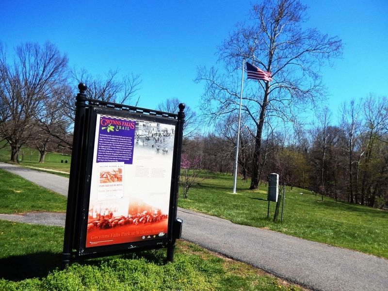
Notice the World War II Memorial in the background.
Credits. This page was last revised on May 28, 2024. It was originally submitted on April 11, 2017, by Don Morfe of Baltimore, Maryland. This page has been viewed 552 times since then and 47 times this year. Photos: 1, 2, 3. submitted on April 11, 2017, by Don Morfe of Baltimore, Maryland. • Bill Pfingsten was the editor who published this page.
