Waterford in Marshall County, Mississippi — The American South (East South Central)
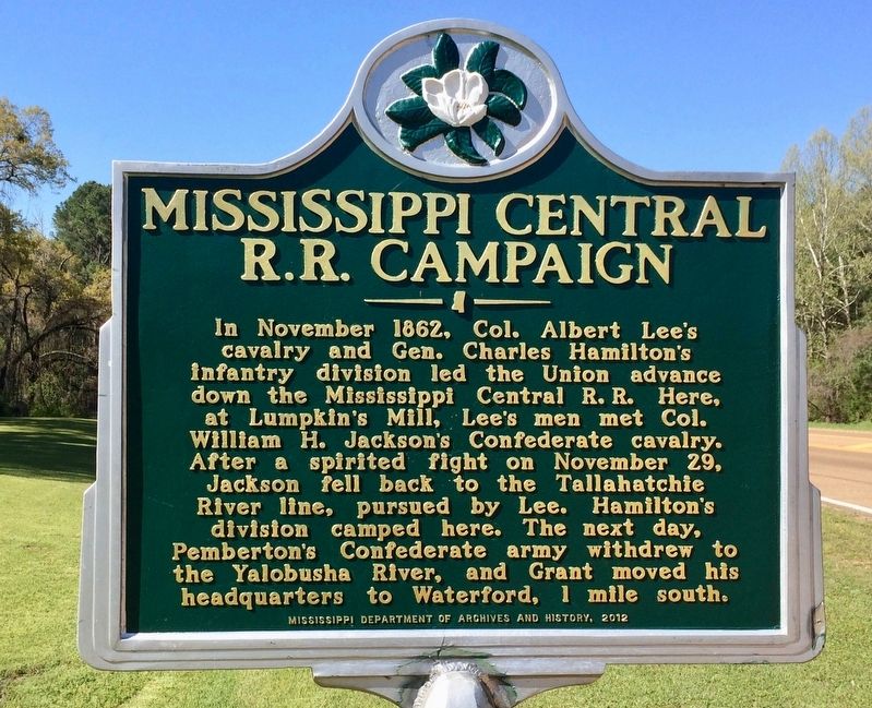
Mississippi Central R.R. Campaign
Erected 2012 by the Mississippi Department of Archives and History.
Topics and series. This historical marker is listed in these topic lists: Railroads & Streetcars • War, US Civil • Waterways & Vessels. In addition, it is included in the Mississippi State Historical Marker Program series list. A significant historical month for this entry is November 1862.
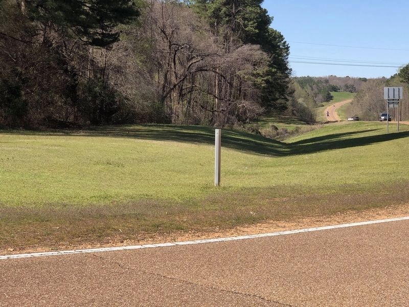
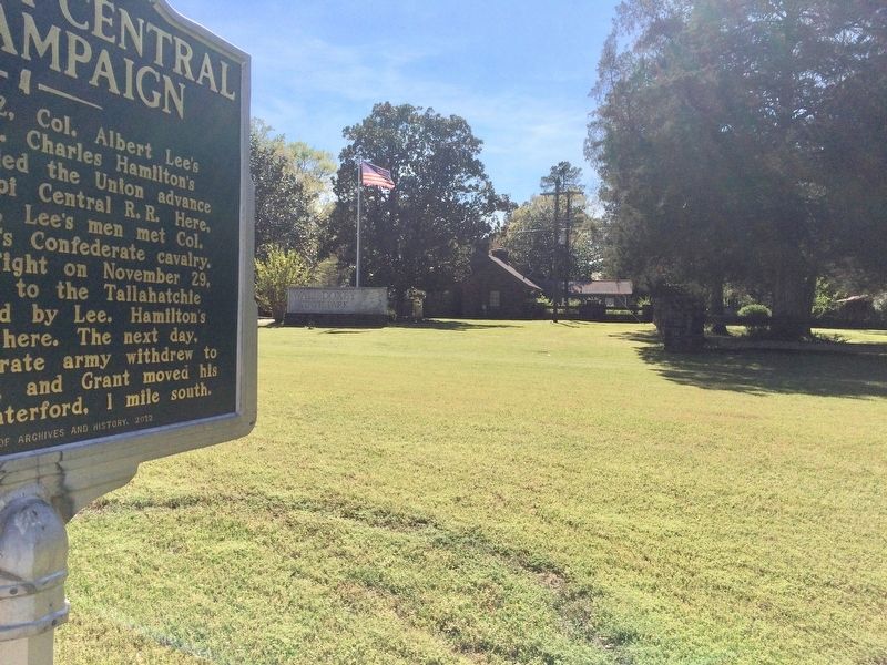
Location. Marker has been reported missing. It was located near 34° 39.897′ N, 89° 27.644′ W. Marker was in Waterford, Mississippi, in Marshall County. Marker was on Mississippi Route 7, 1˝ miles south of Waterford Mountain Road, on the right when traveling south. Located in front of Wall Doxey State Park. Touch for map. Marker was at or near this postal address: 3946 MS-7, Waterford MS 38685, United States of America. Touch for directions.
Other nearby markers. At least 8 other markers are within 8 miles of this location, measured as the crow flies. Martyn Mission (approx. 6.8 miles away); Walter Place (approx. 7 miles away); Hugh Craft House (approx. 7.1 miles away); Yellow Fever House (approx. 7.1 miles away); a different marker also named Mississippi Central R.R. Campaign (approx. 7.1 miles away); Van Dorn Captures Holly Springs (approx. 7.1 miles away); General Order #11 (approx. 7.1 miles away); The Van Dorn Raid (approx. 7.1 miles away).
Also see . . . Grant Moves South - The Mississippi Central Railroad Campaign Begins. (Submitted on April 11, 2017, by Mark Hilton of Montgomery, Alabama.)
Credits. This page was last revised on April 8, 2023. It was originally submitted on April 11, 2017, by Mark Hilton of Montgomery, Alabama. This page has been viewed 291 times since then and 27 times this year. Photos: 1. submitted on April 11, 2017, by Mark Hilton of Montgomery, Alabama. 2. submitted on April 7, 2023, by Duane and Tracy Marsteller of Murfreesboro, Tennessee. 3, 4. submitted on April 11, 2017, by Mark Hilton of Montgomery, Alabama.


