Black Zion in Pontotoc County, Mississippi — The American South (East South Central)
Site of Pontotoc Creek Treaty
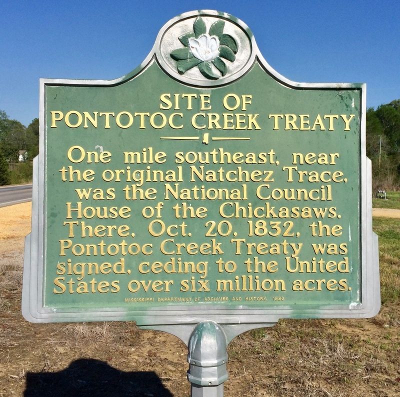
Photographed by Mark Hilton, April 7, 2017
1. Site of Pontotoc Creek Treaty Marker
Erected 1993 by the Mississippi Department of Archives and History.
Topics and series. This historical marker is listed in these topic lists: Indigenous Peoples and Communities • Notable Events. In addition, it is included in the Mississippi State Historical Marker Program series list. A significant historical year for this entry is 1832.
Location. 34° 12.348′ N, 88° 53.304′ W. Marker is in Black Zion, Mississippi, in Pontotoc County. It is on Black Zion Road (Mississippi Route 342) 0.4 miles east of Woodland Road (County Road 75), on the right when traveling east. Touch for map. Marker is at or near this postal address: Black Zion Road, Pontotoc MS 38863, United States of America. Touch for directions.

Regionally, this marker is in the North Mississippi Hills. It is also in the American South and specifically in the Deep South. Globally, it is in North America, a Gulf of Mexico state, the Western
this page online
Other nearby markers. At least 8 other markers are within 7 miles of this marker, measured as the crow flies: A different marker also named Site of Pontotoc Creek Treaty (about 600 feet away, measured in a direct line); Zion School (approx. ¼ mile away); Pierre D'Artaguiette (approx. 4.4 miles away); Old Campground Methodist Church (approx. 4½ miles away); Black Belt (approx. 5½ miles away); Chickasaw Council House (approx. 5.8 miles away); Tockshish (approx. 6.1 miles away); Lochinvar (approx. 6½ miles away).
More about this marker. Another marker with same wording, but erected 11 years earlier, is within eyesight, 600 feet to the east.
Related markers. Click here for a list of markers that are related to this marker.
Also see . . . Wikipedia article on the Treaty of Pontotoc Creek. (Submitted on April 12, 2017, by Mark Hilton of Montgomery, Alabama.)
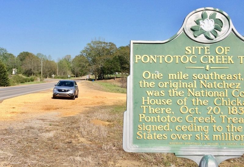
Photographed by Mark Hilton, April 7, 2017
2. The view east towards Valley Road. Black Zion Road curves to the north.
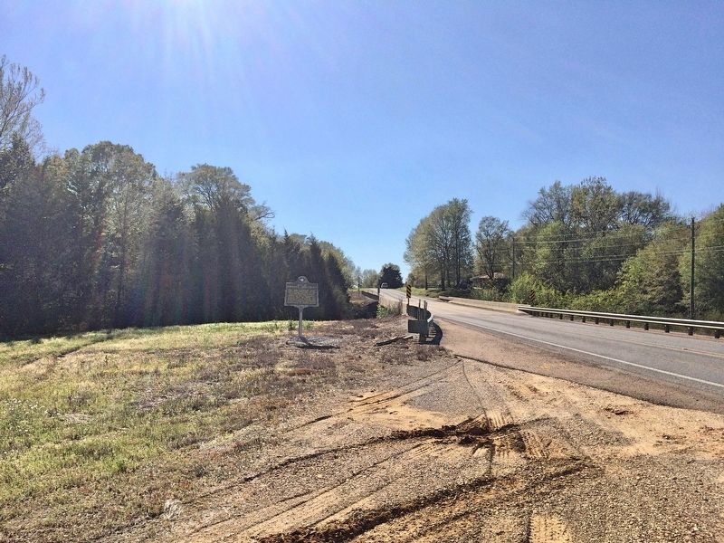
Photographed by Mark Hilton, April 7, 2017
3. Looking west on Black Zion Road towards Pontotoc.
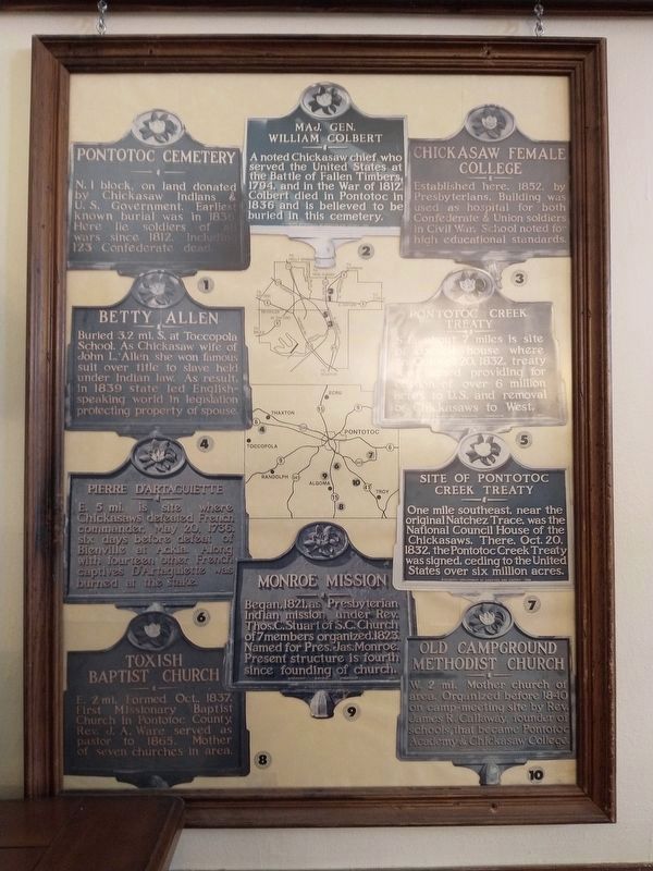
Photographed by Tom Bosse, April 16, 2021
4. Pontotoc County History Markers Poster
Located in Towne Square Post Office Museum, Pontotoc, MS.
Credits. This page was last revised on April 29, 2021. It was originally submitted on April 12, 2017, by Mark Hilton of Montgomery, Alabama. This page has been viewed 717 times since then and 56 times this year. Photos: 1, 2, 3. submitted on April 12, 2017, by Mark Hilton of Montgomery, Alabama. 4. submitted on April 24, 2021, by Tom Bosse of Jefferson City, Tennessee.
