Near Pontotoc in Pontotoc County, Mississippi — The American South (East South Central)
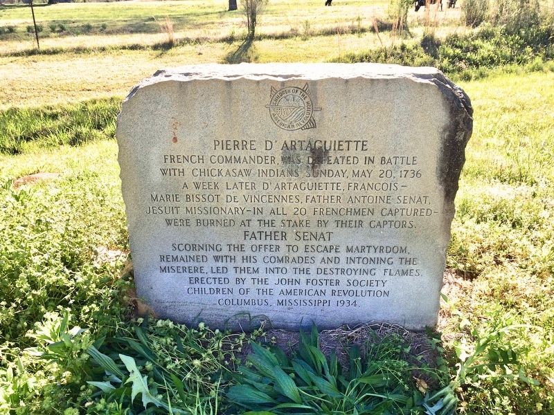
Pierre D'Artaguiette
Father Senat
French Commander was defeated in battle
with Chickasaw Indians Sunday May 20, 1736
A week later D' Artaguiette, Francois -
Marie Bissot De Vincennes, Father Antoine Senat,
Jesuit Missionary-in all 20 Frenchmen captured-
were burned at the stake by their captors.
Father Senat
Scorning the offer to escape martyrdom,
remained with his comrades and intoning the
miserere, led them into the destroying flames.
Erected 1934 by the John Foster Society Children of the American Revolution Columbus, Mississippi.
Topics. This historical marker is listed in these topic lists: Native Americans • Wars, US Indian. A significant historical date for this entry is May 20, 1736.
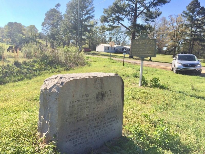
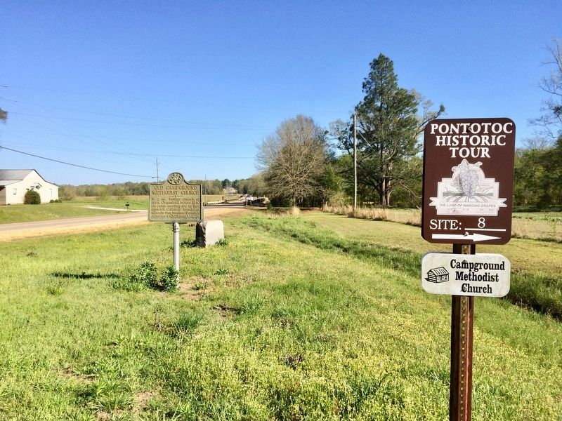
Location. 34° 11.025′ N, 88° 57.687′ W. Marker is near Pontotoc, Mississippi, in Pontotoc County. Marker is at the intersection of Mississippi Route 41 and Campground Road (County Road 134), on the right when traveling south on State Route 41. Touch for map. Marker is in this post office area: Pontotoc MS 38863, United States of America. Touch for directions.
Other nearby markers. At least 8 other markers are within 5 miles of this marker, measured as the crow flies. Old Campground Methodist Church (here, next to this marker); Lochinvar (approx. 3.3 miles away); Site of Pontotoc Creek Treaty (approx. 4.4 miles away); Chickasaw Female College (approx. 4˝ miles away); a different marker also named Site of Pontotoc Creek Treaty (approx. 4.6 miles away); Zion School (approx. 4.6 miles away); Toxish Baptist Church (approx. 4.7 miles away); a different marker also named Pierre D'Artaguiette (approx. 4.9 miles away). Touch for a list and map of all markers in Pontotoc.
Related markers. Click here for a list of markers that are related to this marker.
Additional commentary.
1. Meaning of miserere.
Miserere is the 51st Psalm, a prayer or expression of appeal for mercy.
— Submitted April 12, 2017, by Mark Hilton of Montgomery, Alabama.
2. Death of Pierre D'Artaguiette.
In fact, Pierre d'Artaguiette is dead 8 weeks sooner, on Sunday 25 March 1736, and not during the Ackia battle, but nearer the Mississipi river, launching a frontal attack against a Chickasaw's fortress named Ogoula Tchetoca (?), probably Chucalissa near Memphis. All of them were burned on the same day, except one, named Claude Drouet de Richardville, who escaped two years later, and made a report on it. [AN, Col, F3-24, f° 252-54, 10 Juin 1739].
— Submitted December 22, 2021, by Jean RAUDOT of Boulogne-Billancourt, France.
Credits. This page was last revised on December 22, 2021. It was originally submitted on April 12, 2017, by Mark Hilton of Montgomery, Alabama. This page has been viewed 457 times since then and 28 times this year. Photos: 1, 2, 3. submitted on April 12, 2017, by Mark Hilton of Montgomery, Alabama.


