Tupelo in Lee County, Mississippi — The American South (East South Central)
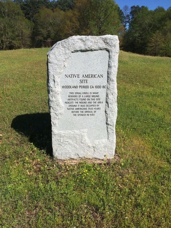
Native American Site
Woodland Period CA 1000 BC
Photographed by Mark Hilton, April 7, 2017
1. Native American Site Marker
Note the outline of the State of Mississippi around the edge of the stone.
remains of a large mound.
Artifacts found on this site
indicate the mound and the area
around it was occupied by
Native Americans 3500 years
before the arrival of
the Spanish in 1540.
Topics. This historical marker is listed in these topic lists: Cemeteries & Burial Sites • Indigenous Peoples and Communities • Notable Places.
Location. 34° 15.708′ N, 88° 40.941′ W. Marker is in Tupelo, Mississippi, in Lee County. It is on North Veterans Memorial Boulevard 0.1 miles north of Reese Street, on the right when traveling north. Located at Veterans Park, just north of Elvis Presley's birthplace. Touch for map. Marker is at or near this postal address: North Veterans Memorial Boulevard, Tupelo MS 38804, United States of America. Touch for directions.

Regionally, this marker is in andspecifically ast Mississippi in the North Mississippi Hills. It is also in the American South and specifically in the Deep South. Globally, it is in North America, a Gulf of Mexico state, the Western Hemisphere, the Western World, and the Anglosphere.
this page online
Other nearby markers. At least 8 other markers are within walking distance of this marker: Town Creek Tupelo Encampment / Camp Life in Tupelo (about 400 feet away, measured in a direct line); The Birthplace / East Tupelo 1935-1948 (approx. 0.2 miles away); Birthplace of Elvis Presley (approx. 0.2 miles away); Assembly of God Church (approx. 0.2 miles away); Elvis Country (approx. 0.2 miles away); Elvis Presley and the Blues (approx. 0.2 miles away); Elvis Presley's Childhood Church (approx. ¼ mile away); The Outhouse (approx. ¼ mile away). Touch for a list and map of all markers in Tupelo.
Photographed by Mark Hilton, April 7, 2017
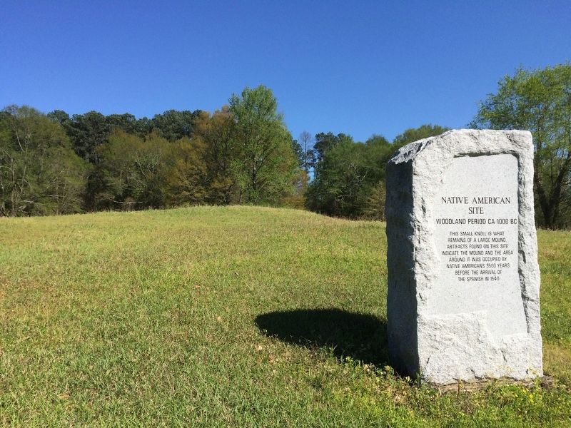
2. The slight knoll can be seen just behind the marker.
Photographed by Mark Hilton, April 7, 2017
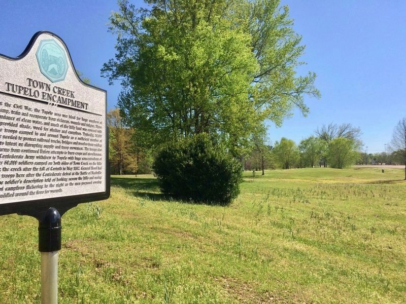
3. Wide view of stone, in far right distance south towards downtown Tupelo.
Photographed by Mark Hilton, April 7, 2017
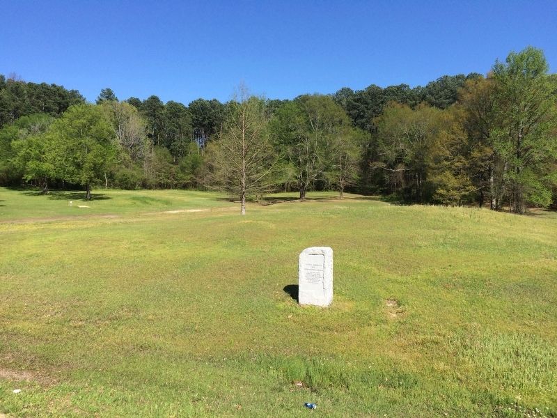
4. Native American Site Marker and Veterans Park.
Credits. This page was last revised on April 14, 2017. It was originally submitted on April 14, 2017, by Mark Hilton of Montgomery, Alabama. This page has been viewed 974 times since then and 43 times this year. Photos: 1, 2, 3, 4. submitted on April 14, 2017, by Mark Hilton of Montgomery, Alabama.
