Old Harding Pike
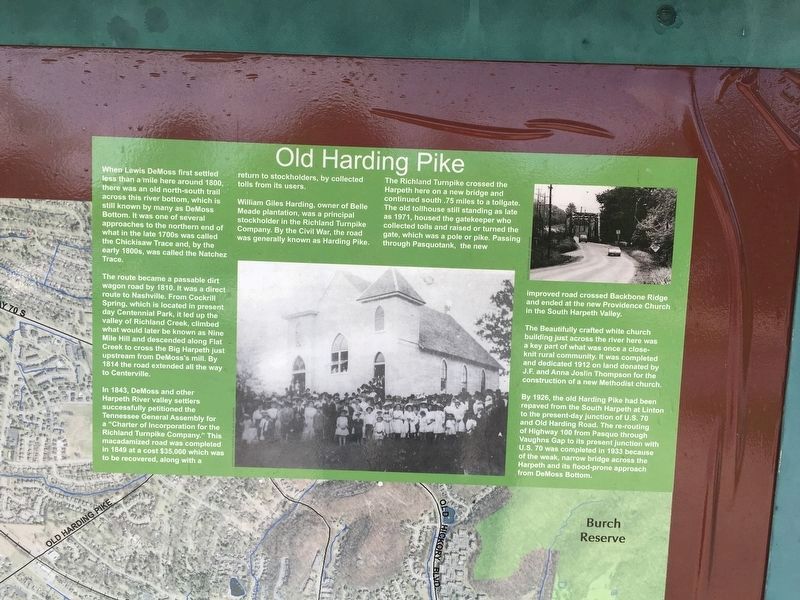
The route became a passable dirt wagon road by 1810. It was a direct route to Nashville. From Cockrill Spring, which is located in present day Centennial Park, it led up the valley of Richland Creek, climbed what would later be known as Nine Mile Hill and descended along Flat Creek to cross the Big Harpeth just upstream from DeMoss's mill. By 1814 the road extended all the way to Centerville.
In 1843, DeMoss and other Harpeth River valley settlers successfully petitioned the Tennessee General Assembly for a "Charter of Incorporation for the Richland Turnpike Company." This macadamized road was completed in 1849 at a cost $35,000 which was to be recovered, along with a return to stockholders, by collected tolls from its users.
William Giles Harding, owner of Belle Meade plantation,
this page online
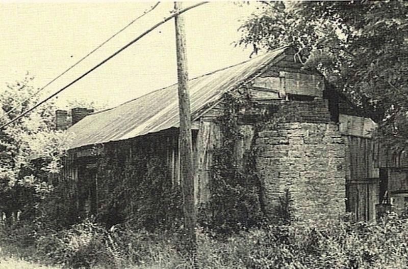
The Richland Turnpike crossed the Harpeth here on a new bridge and continued south .75 miles to a tollgate. The old tollhouse still standing as late as 1971, housed the gatekeeper who collected tolls and raised or turned the gate, which was a pole or pike. Passing through Pasquotank, the new improved road crossed Backbone Ridge and ended at the new Providence Church in the South Harpeth Valley.
The Beautifully crafted white church building just across the river here was a key part of what was once a close-knit rural community. It was completed and dedicated 1912 on land donated by J.F. and Anna Joslin Thompson for the construction of a new Methodist church.
By 1926, the old Harding Pike had been repaved from the South Harpeth at Linton to the present-day junction of U.S. 70 and Old Harding Road. The re-routing of Highway 100 from Pasqup through Vaughns Gap to its present junction with U.S. 70 was completed in 1933 because of the weak, narrow bridge across the Harpeth and its flood-prone approach to
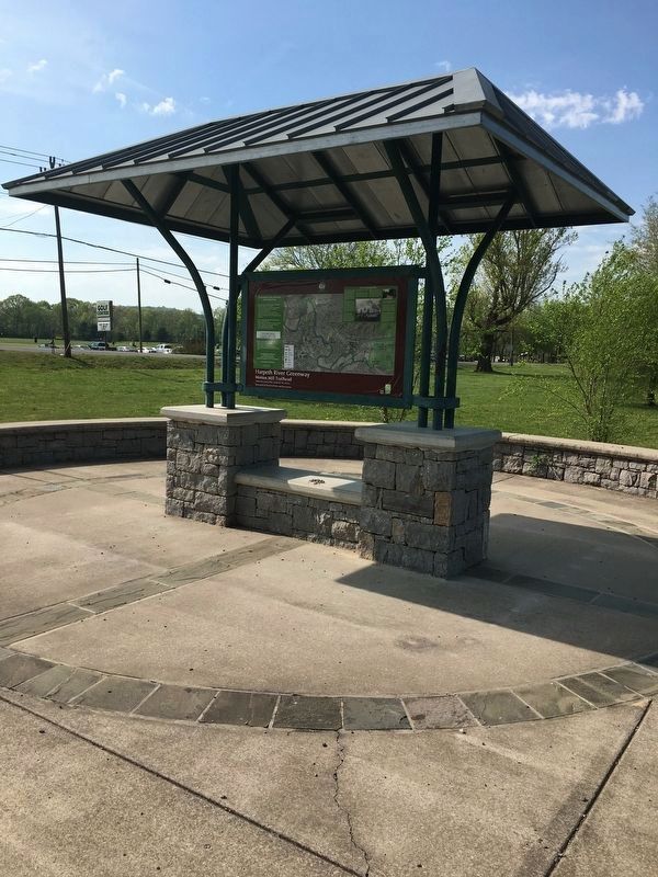
Erected by Metropolitan Board of Parks and Recreation.
Topics. This historical marker is listed in these topic lists: Bridges & Viaducts • Man-Made Features • Roads & Vehicles. A significant historical year for this entry is 1810.
Location. 36° 3.533′ N, 86° 56.7′ W. Marker is in Nashville, Tennessee, in Davidson County. It is in South Hampton. It is on Old Harding Pike 0.1 miles north of Morton Mill Road. Located along the Harpeth River Greenway. Touch for map. Marker is in this post office area: Nashville TN 37221, United States of America. Touch for directions.

Regionally, this marker is in Middle Tennessee. It is also in the American South and specifically in the Upper South. Globally, it is in North America, the Western Hemisphere, the Western World, and the Anglosphere. Historically, it finds itself in what was once the territory of the Mississippian Culture, one of the Confederate States of America, and the Antebellum South.
Other nearby markers. At least 8 other markers are within 2 miles of this marker, measured as the crow flies: Historic Bellevue (approx. 0.4 miles away); DeMoss and the First Belle Vue
Credits. This page was last revised on February 7, 2023. It was originally submitted on April 18, 2017, by Caroline Mitchell Carrico of Memphis, Tennessee. This page has been viewed 2,799 times since then and 231 times this year. Photos: 1, 2. submitted on April 18, 2017, by Caroline Mitchell Carrico of Memphis, Tennessee. 3. submitted on April 20, 2017, by Steve Masler of Memphis, Tennessee. • Bill Pfingsten was the editor who published this page.
