Fulton in Itawamba County, Mississippi — The American South (East South Central)
Underground Railroad Bicycle Route
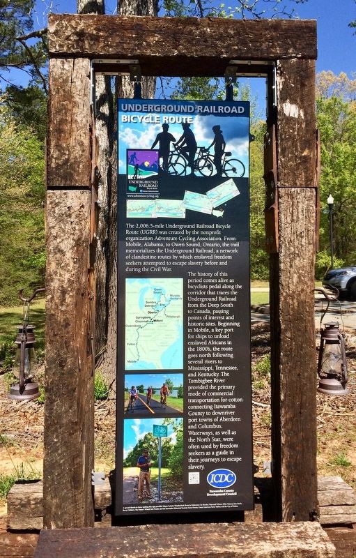
Front
The 2,006.5-mile Underground Railroad Bicycle Route (UGRR) was created by the nonprofit organization Adventure Cycling Association. From Mobile, Alabama, to Owen Sound, Ontario, the trail memorializes the Underground Railroad, a network of clandestine routes by which enslaved freedom seekers attempted to escape slavery before and during the Civil War.
The history of this period comes alive as bicyclists pedal along the corridor that traces the Underground Railroad from the Deep South to Canada, passing points of interest and historic sites. Beginning in Mobile, a key port for ships to unload enslaved Africans in the 1800’s, the route goes north following several rivers to Mississippi, Tennessee, and Kentucky. The Tombigbee River provided the primary mode of commercial transportation for cotton connecting Itawamba County to downriver port towns of Aberdeen and Columbus.
Waterways, as well the North Star, were often used by freedom seekers as a guide in their journeys to escape slavery.
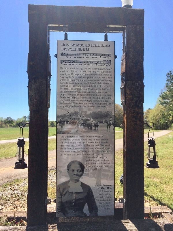
Rear
The American folksong, “Follow the Drinking Gourd,” was first published in 1928. The song was supposedly used by an Underground Railroad operative known as “Peg Leg Joe” to encode escape instructions and a map within its lyrics. These directions then enabled fleeing slaves to make their way north from Mobile, via the Tombigbee, the Tennessee, and the Ohio Rivers to freedom. The “drinking gourd” refers to the hollowed out gourd used by enslaved Americans as a water dipper. However, in the song it is used as a code name for the Big Dipper star formation, which points to the North and freedom. According to legend, “Peg Leg Joe” traveled throughout the Deep South, passing the song along to slaves on the Southern plantations.
The Underground Railroad was a network of secret trails and safe houses used by 19th-century enslaved people to escape from the South into the free states and Canada. Abolitionist and allies aided slaves through several routes north. One such route as north along the Tombigbee River from South Alabama to the river’s headwaters in northern Itawamba County. The path then extended across the hills to the Tennessee River and onward north to the Ohio River.
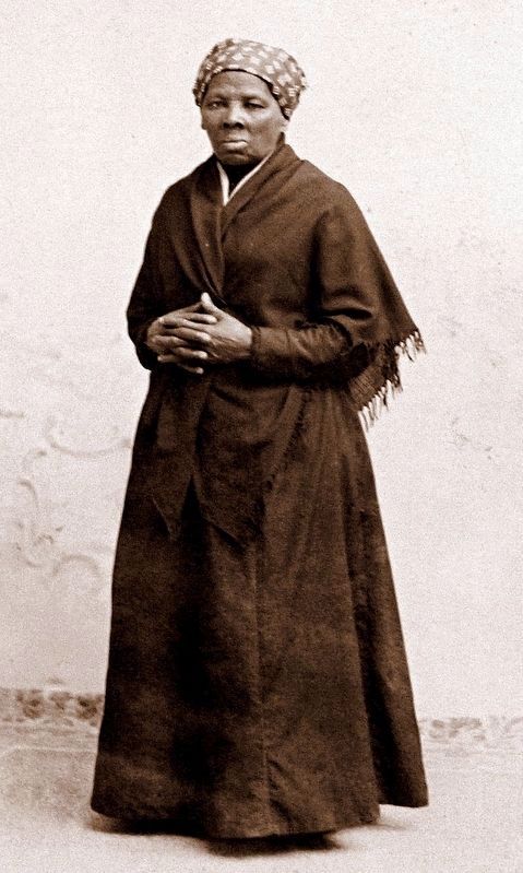
Harriet Tubman (1820-1913) led slaves to freedom along the Underground Railroad earning her the name “Moses of her People.”
Erected 2016 by the City of Fulton, the Potter’s Wheel and the Itawamba County Development Council.
Topics. This historical marker is listed in these topic lists: Abolition & Underground RR
• African Americans • War, US Civil • Waterways & Vessels. A significant historical year for this entry is 1928.
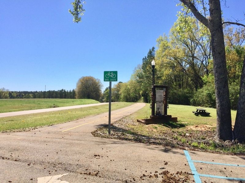
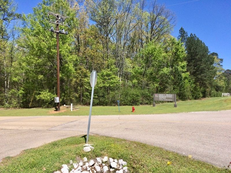
Location. 34° 17.239′ N, 88° 24.764′ W. Marker is in Fulton, Mississippi, in Itawamba County. Marker is at the intersection of North Access Road and Campground Road, on the left when traveling north on North Access Road. Located at the entrance to the Jamie Whitten Historical Center. Touch for map. Marker is at or near this postal address: North Access Road, Fulton MS 38843, United States of America. Touch for directions.
Other nearby markers. At least 8 other markers are within 2 miles of this marker, measured as the crow flies. Itawamba Community College (approx. 0.9 miles away); Fulton (approx. one mile away); Early Church Site (approx. one mile away); Jimmie Lunceford (approx. one mile away); Vision - Perserverence - Success (approx. one mile away); The Cedars (approx. 1.1 miles away); Fulton Cemetery (approx. 1.1 miles away); Aeolian Grove (approx. 1.2 miles away). Touch for a list and map of all markers in Fulton.
Credits. This page was last revised on April 18, 2021. It was originally submitted on April 22, 2017, by Mark Hilton of Montgomery, Alabama. This page has been viewed 589 times since then and 51 times this year. Photos: 1, 2, 3, 4, 5, 6. submitted on April 22, 2017, by Mark Hilton of Montgomery, Alabama.
