Wapatomica
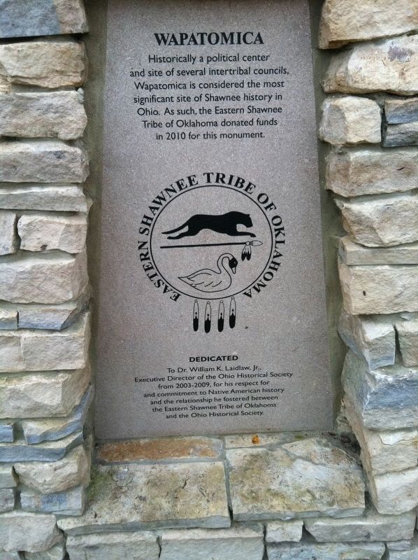
Eastern Shawnee Tribe of Oklahoma
Dedicated to Dr. William K Laidlaw, Jr. Executive Director of the Ohio Historical Society from 2003-2009, for his respect for and commitment to Native American history and the relationship he fostered between the Eastern Shawnee Tribe of Oklahoma and the Ohio Historical Society.
(reverse side)
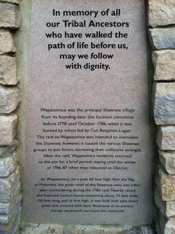
In memory of all our Tribal Ancestors who walked the path of life before us, may we follow with dignity.
Wapatomica was the principal village from its founding near this location sometime before 1778 until October 1786, when it was burned by militia led by Col. Benjamin Logan. The raid on Wapatomica was intended to intimidate the Shawnee; however, it caused the various Shawnee groups to join forces, increasing their collective strength. After the raid, Wapatomica residents returned to the site for a brief period, staying until the winter of 1786-87 when they relocated to Detroit.
At Wapatomica, on a pole 60 feet high, flew the flag of Moluntha, the great chief of the Shawnee wo was killed surrendering during the 1786 raid. Nearby stood the honored council
house measuring about 75 feet wide, 150 feet long, and 16 feet high. It was built with split wood poles and covered with bark. Remnants of an ancient circular earthwork surround this memorial.Erected 2010 by Eastern Shawnee Tribe of Oklahoma and the Ohio Historical Society.
Topics. This historical marker is listed in these topic lists: Native Americans • Wars, US Indian.
Location. 40° 18.6′ N, 83° 42.333′ W. Marker is near Zanesfield, Ohio, in Logan County. Marker can be reached from County Route 5S near Local Route 29, on the right when traveling south. Touch for map. Marker is in this post office area: Zanesfield OH 43360, United States of America. Touch for directions.
Other nearby markers. At least 8 other markers are within 3 miles of this marker, measured as the crow flies. A different marker also named Wapatomica (within shouting distance of this marker); a different marker also named Wapatomica (approx. 0.2 miles away); Monroe Township School (approx. 1.7 miles away); Pickrell UGRR Station (approx. 2.3 miles away); Gunn's Tavern / Trading Post (approx. 2.3 miles away); In Memory of Isaac Zane (approx. 2.3 miles away); Gen. Simon Kenton (approx. 2.3 miles away); George Washington Rockwell (approx. 2.4 miles away). Touch for a list and map of all markers in Zanesfield.
More about this marker. This marker is on land belonging to the Ohio Historical Society and is not open to the public. It is not on or near any adjacent roadway.
Credits. This page was last revised on April 26, 2017. It was originally submitted on April 20, 2017, by Michael Baker of Lima, Ohio. This page has been viewed 1,441 times since then and 67 times this year. Last updated on April 25, 2017, by Michael Baker of Lima, Ohio. Photos: 1, 2, 3. submitted on April 20, 2017, by Michael Baker of Lima, Ohio. • Bill Pfingsten was the editor who published this page.


