Chickamauga in Walker County, Georgia — The American South (South Atlantic)
Cruft's Brigade
Palmer's Division
| — | Crittenden's Corps | — |

1. Cruft's Brigade Marker
Palmer's Division - Crittenden's Corps.
Brigadier General Charles Cruft.
September 19, 1863, Morning.
31st Indiana - Colonel John T. Smith.
1st Kentucky - Lieutenant Colonel Alva R. Hadlock.
2d Kentucky - Colonel Thomas D. Sedgewick.
90th Ohio - Colonel Charles H. Rippey.
1st Ohio Light Battery B, Lieutenant Norman A. Baldwin.
At 10 P.M., Sept. 18th, this brigade which had been in waiting at Crawfish Springs since sundown, moved from Lee and Gordon's Mill, and was formed across the Scott place with it right near the Chickamauga River, and its left extending northwestwardly across the LaFayette Road, where it remained until 11 o'clock A. M. Sept. 19th. At this hour it was ordered forward with the division of the battle then raging east of the Kelly Field. It proceeded rapidly to the vicinity of the Poe Field, from which position it immediately moved southeastwardly into action.
Erected 1890 by the Chickamauga and Chattanooga National Military Park Commission. (Marker Number MT-574.)
Topics. This historical marker is listed in this topic list: War, US Civil. A significant historical date for this entry is September 19, 1863.
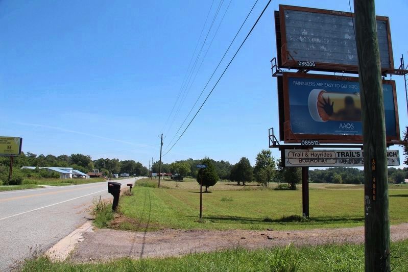
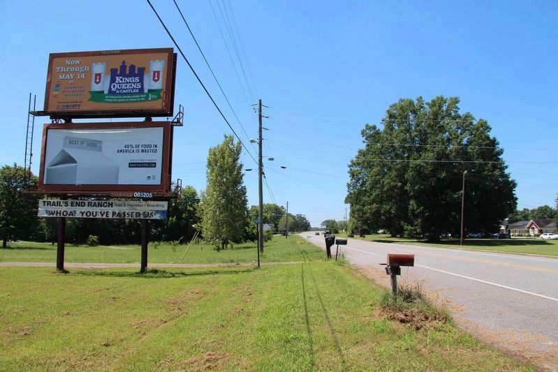
Location. Marker is missing. It was located near 34° 53.52′ N, 85° 15.899′ W. Marker was in Chickamauga, Georgia, in Walker County. It was on Lafayette Road north of Local Route 27, on the right when traveling south. The original site of this tablet is about midway between the southern boundary of the National Military Park and the intersection with U.S. 27. Touch for map. Marker was at or near this postal address: 1260 Lafayette Road, Chickamauga GA 30707, United States of America. Touch for directions.

Regionally, this marker was in Georgia’s Mountains. It was also in the American South, specifically in the Deep South, in Appalachia, and specifically in
this page online
Other nearby markers. At least 8 other markers are within walking distance of this location: 4th Michigan Cavalry (approx. 0.3 miles away); 99th Ohio Infantry (approx. 0.4 miles away); 3rd Wisconsin Battery (approx. half a mile away); a different marker also named 3rd Wisconsin Battery (approx. half a mile away); 51st Ohio Infantry (approx. half a mile away); Barnes' Brigade (approx. half a mile away); 35th Indiana Infantry (approx. half a mile away); Harker's Brigade (approx. half a mile away). Touch for a list and map of all markers in Chickamauga.
Other markers no longer nearby. Grose's Brigade (was a few steps from this marker but has been confirmed missing); Hazen's Brigade (was within shouting distance of this marker but has been confirmed missing); Palmer's Division
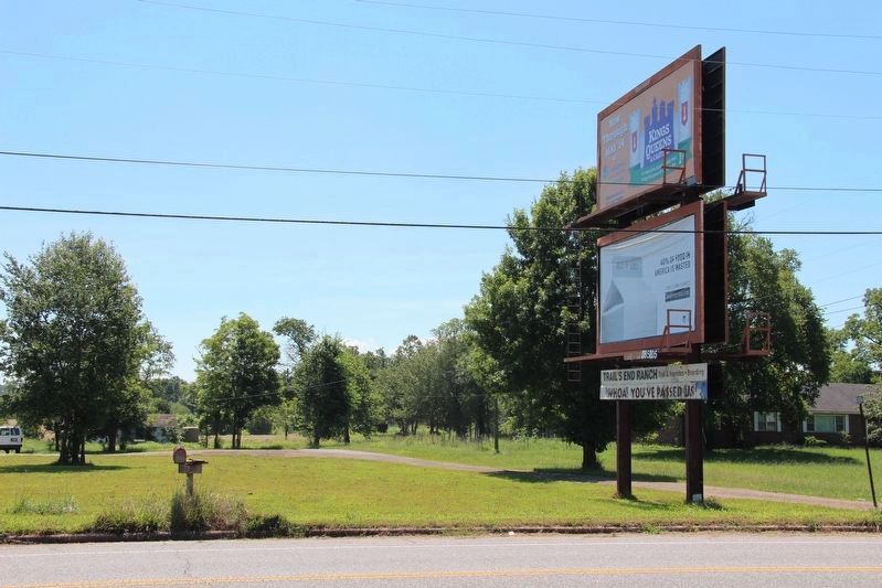
Photographed by Dale K. Benington, July 10, 2017
2. Cruft's Brigade Marker
View looking east, across the LaFayette Road, at the approximate site of the missing tablet.
Photographed by Dale K. Benington, July 10, 2017
3. Cruft's Brigade Marker
View of the approximate site of the tablet, looking north (towards the National Military Park) along the LaFayette Road.
Photographed by Dale K. Benington, July 10, 2017
4. Cruft's Brigade Marker
View of the approximate site of the tablet, looking south (towards the site of the Lee-Gordon Mill) along the LaFayette Road.
Credits. This page was last revised on July 17, 2017. It was originally submitted on April 27, 2017, by Dale K. Benington of Toledo, Ohio. This page has been viewed 646 times since then and 38 times this year. Photos: 1. submitted on April 27, 2017, by Dale K. Benington of Toledo, Ohio. 2, 3, 4. submitted on July 12, 2017, by Dale K. Benington of Toledo, Ohio.
