Zona Centro in San Francisco de Campeche in Campeche, Mexico — The Southeast (Yucatan Peninsula)
Campeche's Land Gate
Photographed by J. Makali Bruton, January 21, 2017
1. Campeche's Land Gate Marker
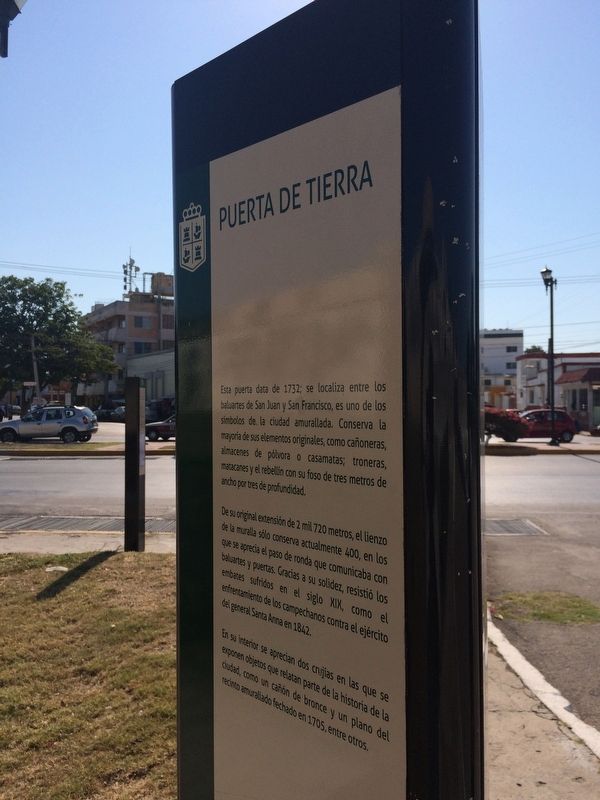
Puerta de Tierra
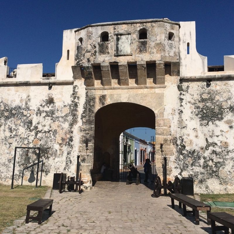
Esta puerta data de 1732; se localiza entre los baluartes de San Juan y San Francisco, es uno de los símbolos de la ciudad amurallada. Conserva la mayoría de sus elementos originales, como cañoneras, almacenes de pólvora o casamatas; troneras, matacanes y el revellín con su foso de tres metros de ancho por tres de profundidad.
De su original extensión de 2 mil 720 metros, el lienzo de la muralla sólo conserva actualmente 400, en los que se aprecia el paso de ronda que comunicaba con baluartes y puertas. Gracias a su solidez, resistió los embates sufridos en el siglo XIX, como el enfrentamiento de los campechanos contra el ejército del general Santa Anna en 1842.
En su interior se aprecian dos crujías en las que se exponen objetos que relatan parte de la historia de la ciudad, como un cañón de bronce y un plano del recinto amurallado fechado en 1705, entre otros.
English:
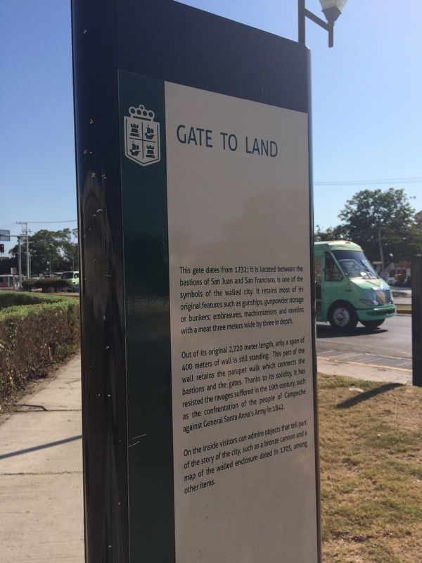
Gate to Land
This gate dates from 1732; it is located between the bastions of San Juan and San Francisco, is one of the symbols of the walled city. It retains most of its original features such as gunships, gunpowder storage or bunkers; embrasures,
this page online
Out of its original 2,720 meter length, only a span of 400 meters of wall is still standing. This part of the wall retains the parapet walk which connects the bastions and the gates. Thanks to its solidity, it has resisted the ravages suffered in the 19th century, such as the confrontation of the people of Campeche against General Santa Anna’s Army in 1842.
On the inside visitors can admire objects that tell part of the story of the city, such as a bronze cannon and a map of the walled enclosure dated in 1705, among other items.
Topics. This historical marker is listed in these topic lists: Forts and Castles • Man-Made Features • Wars, Non-US. A significant historical year for this entry is 1732.
Location. 19° 50.478′ N, 90° 32.142′ W. Marker is in San Francisco de Campeche, Campeche. It is in Zona Centro. It is on Avenida Circuito Baluartes, on the left when traveling west. Touch for map. Marker is at or near this postal address: Av Cto Baluartes 851, San Francisco de Campeche CAMP 24000, Mexico. Touch for directions.

Regionally, this marker is in
Photographed by J. Makali Bruton, January 21, 2017
2. Campeche's Land Gate Marker
Other nearby markers. At least 8 other markers are within walking distance of this marker: House of Pablo García y Montilla (about 210 meters away, measured in a direct line); Independence of Campeche (approx. 0.2 kilometers away); The House of the King’s Lieutenant (approx. 0.2 kilometers away); Professor Septimio Perez Palacios (approx. 0.3 kilometers away); Bastion of San Pedro (approx. 0.4 kilometers away); Temple of the Sweet Name of Jesus (approx. 0.4 kilometers away); Pedro Sainz de Baranda y Borreyro (approx. half a kilometer away); “Tukulná” Handicrafts House (approx. half a kilometer away). Touch for a list and map of all markers in San Francisco de Campeche.
Photographed by J. Makali Bruton, January 21, 2017
3. Campeche's Land Gate Marker
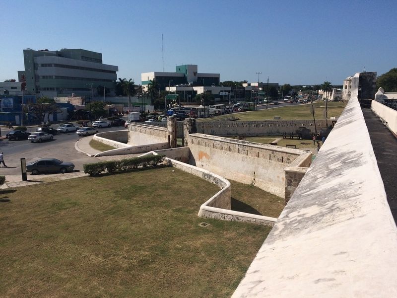
In this view from the parapet of the bastion it is possible to see the gate and the moat. The marker is to the far left near the street.
Photographed by J. Makali Bruton, January 21, 2017
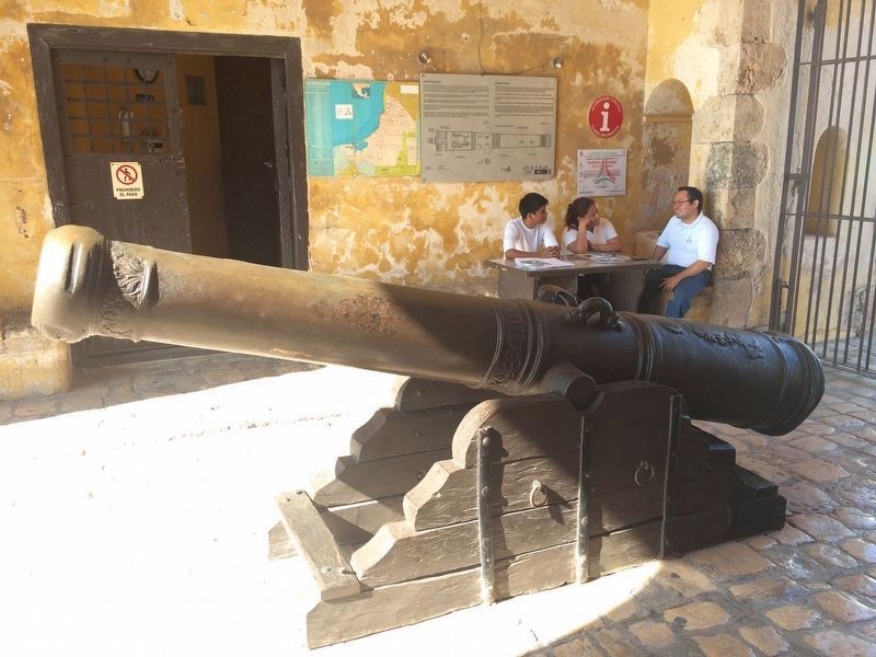
4. The bronze cannon, dated from 1732, mentioned in the marker text.
Photographed by J. Makali Bruton, January 21, 2017
5. Campeche's Land Gate
Credits. This page was last revised on April 29, 2017. It was originally submitted on April 29, 2017, by J. Makali Bruton of Washington, District of Columbia. This page has been viewed 267 times since then and 12 times this year. Photos: 1, 2, 3, 4, 5. submitted on April 29, 2017, by J. Makali Bruton of Washington, District of Columbia.
